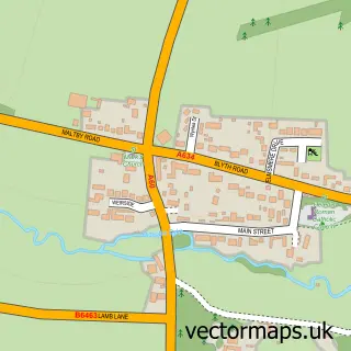
This Carlton in Lindrick street map is a detailed vector street map covering a 750m x 750m area. Select a larger area to create and download your own vector street map of Carlton in Lindrick.
The 750-metre map sample for Carlton in Lindrick covers 294 mapped buildings and approximately 16.0 km of road detail, of which 18 named roads are named. The immediate area includes 2 schools, 5 pubs and 4 MOT stations within 2 miles. The wider area around Carlton in Lindrick features 5 food and drink venues. To create a larger or custom map of Carlton in Lindrick, the map builder lets you define your own coverage area and download editable SVG, PDF and PNG files.
Create a larger editable map of Carlton in Lindrick
Choose any area you need and generate a high-quality vector map instantly. Perfect for print, planning, design, business and personal use.

This Carlton in Lindrick street map in Nottinghamshire is available as downloadable SVG, PDF and PNG map files, or as a printed map for planning, business, display, education, local information and design work. You can also create a larger custom map area using the map selector.
What this Carlton in Lindrick map sample shows
Carlton in Lindrick lies within Carlton In Lindrick Cp parish, part of Carlton ward in the Bassetlaw District local authority area. The postcode geography for this area includes the S postcode area, the S81 postcode district and the S81 9 postcode sector. Residents fall under the Nhs Nottingham And Nottinghamshire Integrated Care Board for NHS services.
Local features near Carlton in Lindrick
Within 2 milesAmenities and services in and around Carlton in Lindrick.
Administrative and postcode information for Carlton in Lindrick
Carlton in Lindrick lies within Carlton In Lindrick Cp parish, part of Carlton ward in the Bassetlaw District local authority area. The postcode geography for this area includes the S postcode area, the S81 postcode district and the S81 9 postcode sector. Residents fall under the Nhs Nottingham And Nottinghamshire Integrated Care Board for NHS services.
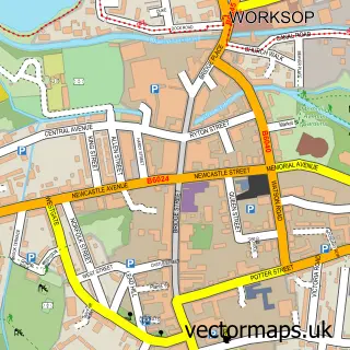
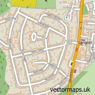
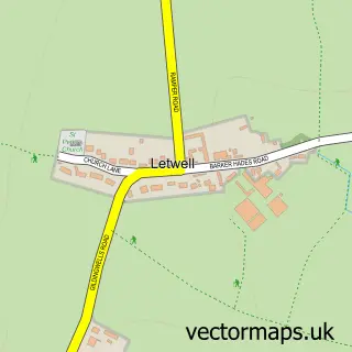
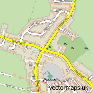
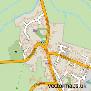
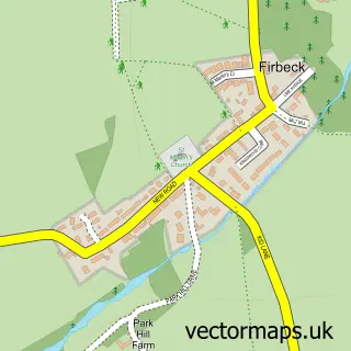
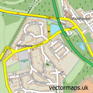
Nearby street map samples around Carlton in Lindrick

More street maps in Nottinghamshire
750 metre map area coverage
Boundary, postcode and point of interest information for the 750m x 750m rectangle centred on this sample map.
Boundaries containing map centre
Constituency: Bassetlaw Co Const
County: Nottinghamshire County
District: Bassetlaw District
Icb: NHS Nottingham and Nottinghamshire ICB
Parish: Carlton in Lindrick CP
Police Force: nottinghamshire
Postcode District: S81
Postcode Sector: S81 9
Ward: Carlton Ward
Nearby boundaries intersecting sample
No additional intersecting boundaries found.
Postcode coverage
POI category counts
Pub: 5
Elementary School: 3
Bakery: 2
Beauty And Spa: 2
Beauty Salon: 2
Advertising Agency: 1
Automotive Dealer: 1
Beauty Product Supplier: 1
Caterer: 1
Day Care Preschool: 1
Sample points of interest
- Olive Design
- South Carlton Motors
- Funki Monkeys Celebration Cakes
- Opulence By Storeybook Cakes
- House of Hair
- The Lavender Lounge
- Cassios Beauty Salon
- Cassios Health and Beauty Salon
- Hair by Jordanne at Headway.
- W & M Wright
- Cherry Tree Day Care
- Kingston Park Academy
Create a larger editable map of Carlton in Lindrick
This sample shows only a 750 metre area. To create a larger map of Carlton in Lindrick, use our map builder to choose your own coverage area, add titles and download editable SVG, PDF and PNG files.
Create a custom map of Carlton in Lindrick