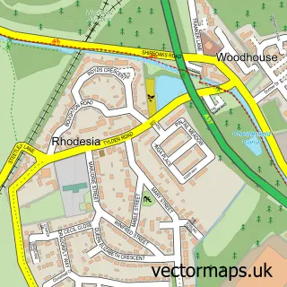
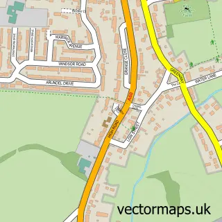
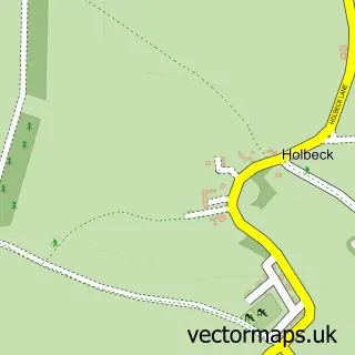
This Worksop street map is a detailed vector street map covering a 750m x 750m area. Select a larger area to create and download your own vector street map of Worksop.
The 750-metre map sample for Worksop covers 301 mapped buildings and approximately 26.3 km of road detail, of which 47 named roads are named. The immediate area includes 1 GP surgery, with 3 within 2 miles, 15 pubs and 2 MOT stations, with 24 within 2 miles. The wider area around Worksop features 4 tourism points of interest, 44 food and drink venues and 1 hotel. To create a larger or custom map of Worksop, the map builder lets you define your own coverage area and download editable SVG, PDF and PNG files.
Create a larger editable map of Worksop
Choose any area you need and generate a high-quality vector map instantly. Perfect for print, planning, design, business and personal use.

This Worksop street map in Nottinghamshire is available as downloadable SVG, PDF and PNG map files, or as a printed map for planning, business, display, education, local information and design work. You can also create a larger custom map area using the map selector.
What this Worksop map sample shows
Worksop lies within Nottinghamshire County parish, part of Worksop North West ward in the Bassetlaw District local authority area. The postcode geography for this area includes the S postcode area, the S80 postcode district and the S80 1 postcode sector. Residents fall under the Nhs Nottingham And Nottinghamshire Integrated Care Board for NHS services.
Local features near Worksop
Within 2 milesAmenities and services in and around Worksop.
Administrative and postcode information for Worksop
The local authority covering Worksop is Bassetlaw District, within the county of Nottinghamshire. The settlement lies within Worksop North West ward and Nottinghamshire County civil parish. The S80 postcode district and S80 1 postcode sector serve the immediate area. NHS provision in the area is delivered through Doncaster And Bassetlaw Teaching Hospitals Nhs Foundation Trust.
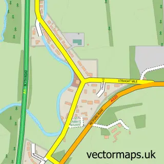
Nearby street map samples around Worksop

More street maps in Nottinghamshire
750 metre map area coverage
Boundary, postcode and point of interest information for the 750m x 750m rectangle centred on this sample map.
Boundaries containing map centre
Constituency: Bassetlaw Co Const
County: Nottinghamshire County
District: Bassetlaw District
Icb: NHS Nottingham and Nottinghamshire ICB
Police Force: nottinghamshire
Postcode District: S80
Postcode Sector: S80 1
Ward: Worksop South Ward
Nearby boundaries intersecting sample
Postcode Sector: S80 2
Ward: Worksop North West Ward, Worksop South East Ward
Postcode coverage
POI category counts
Beauty Salon: 22
Hair Salon: 16
Pub: 15
Cafe: 13
Gym: 12
Clothing Store: 11
Charity Organization: 10
Discount Store: 10
Bank Credit Union: 9
Coffee Shop: 9
Sample points of interest
- EJM Accountants Limited
- Harris & Associates Accountants
- Integra Worksop Ltd
- NMJN Accountants Limited
- Slaney & Co.
- Artur The Climb Hunter
- Connexions
- The Learning Zone
- K P Beckwith
- Cashino Gaming
- Stead & Simpson
- Worksop Bed Centre
Create a larger editable map of Worksop
This sample shows only a 750 metre area. To create a larger map of Worksop, use our map builder to choose your own coverage area, add titles and download editable SVG, PDF and PNG files.
Create a custom map of Worksop