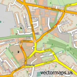
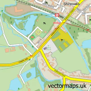
This Whitwell street map is a detailed vector street map covering a 750m x 750m area. Select a larger area to create and download your own vector street map of Whitwell.
The 750-metre map sample for Whitwell covers 388 mapped buildings and approximately 23.3 km of road detail, of which 33 named roads are named. The immediate area includes 2 GP surgeries within 2 miles, 3 pubs and 4 MOT stations within 2 miles. The wider area around Whitwell features 1 tourism point of interest and 4 food and drink venues. To create a larger or custom map of Whitwell, the map builder lets you define your own coverage area and download editable SVG, PDF and PNG files.
Create a larger editable map of Whitwell
Choose any area you need and generate a high-quality vector map instantly. Perfect for print, planning, design, business and personal use.

This Whitwell street map in Derbyshire is available as downloadable SVG, PDF and PNG map files, or as a printed map for planning, business, display, education, local information and design work. You can also create a larger custom map area using the map selector.
What this Whitwell map sample shows
Whitwell lies within Whitwell Cp parish, part of Whitwell ward in the Bolsover District local authority area. The postcode geography for this area includes the S postcode area, the S80 postcode district and the S80 4 postcode sector. Residents fall under the Nhs Derby And Derbyshire Integrated Care Board for NHS services.
Local features near Whitwell
Within 2 milesAmenities and services in and around Whitwell.
Administrative and postcode information for Whitwell
The local authority covering Whitwell is Bolsover District, within the county of Derbyshire. The settlement lies within Whitwell ward and Whitwell Cp civil parish. The S80 postcode district and S80 4 postcode sector serve the immediate area. NHS provision in the area is delivered through Chesterfield Royal Hospital Nhs Foundation Trust.
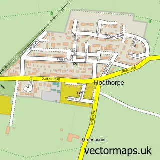
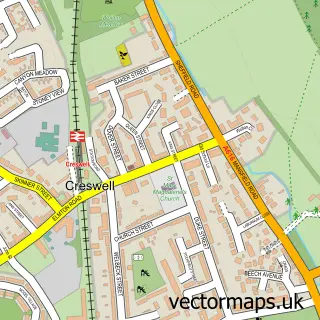
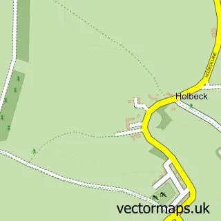
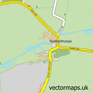
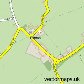
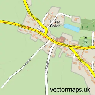
Nearby street map samples around Whitwell

More street maps in Derbyshire
750 metre map area coverage
Boundary, postcode and point of interest information for the 750m x 750m rectangle centred on this sample map.
Boundaries containing map centre
Constituency: Bolsover Co Const
County: Derbyshire County
District: Bolsover District
Icb: NHS Derby and Derbyshire ICB
Parish: Whitwell CP
Police Force: derbyshire
Postcode District: S80
Postcode Sector: S80 4
Ward: Whitwell Ward
Nearby boundaries intersecting sample
Postcode Sector: S80 3
Postcode coverage
POI category counts
Hair Salon: 3
Library: 3
Pub: 3
Church Cathedral: 2
Sports Club And League: 2
Arts And Crafts: 1
Arts And Entertainment: 1
Bar: 1
Beauty Salon: 1
Building Supply Store: 1
Sample points of interest
- Handmaiden
- Brian Holland Ceramics
- The Butchers Arms
- Koca
- Thorpes Building Supplies Ltd.
- Whitwell Playgroup
- St Lawrence's Church
- Whitwell Methodist Church
- Whitwell Community Centre
- Trustseal Limited
- Vagheggi
- Post Office Travel Money
Create a larger editable map of Whitwell
This sample shows only a 750 metre area. To create a larger map of Whitwell, use our map builder to choose your own coverage area, add titles and download editable SVG, PDF and PNG files.
Create a custom map of Whitwell