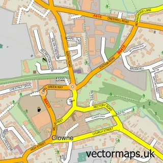
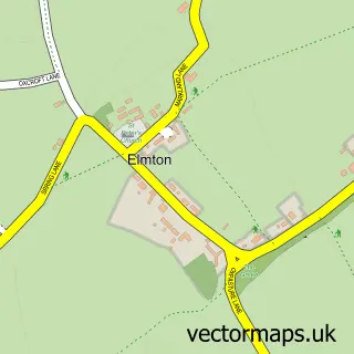
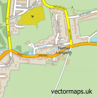
This Creswell street map is a detailed vector street map covering a 750m x 750m area. Select a larger area to create and download your own vector street map of Creswell.
The 750-metre map sample for Creswell covers 389 mapped buildings and approximately 22.9 km of road detail, of which 33 named roads are named. The immediate area includes 2 schools, 1 railway station, 1 GP surgery, with 2 within 2 miles and 2 MOT stations, with 5 within 2 miles. The wider area around Creswell features 5 food and drink venues. To create a larger or custom map of Creswell, the map builder lets you define your own coverage area and download editable SVG, PDF and PNG files.
Create a larger editable map of Creswell
Choose any area you need and generate a high-quality vector map instantly. Perfect for print, planning, design, business and personal use.

This Creswell street map in Derbyshire is available as downloadable SVG, PDF and PNG map files, or as a printed map for planning, business, display, education, local information and design work. You can also create a larger custom map area using the map selector.
What this Creswell map sample shows
Creswell lies within Elmton With Creswell Cp parish, part of Elmton-With-Creswell ward in the Bolsover District local authority area. The postcode geography for this area includes the S postcode area, the S80 postcode district and the S80 4 postcode sector. Residents fall under the Nhs Derby And Derbyshire Integrated Care Board for NHS services.
Local features near Creswell
Within 2 milesAmenities and services in and around Creswell.
Administrative and postcode information for Creswell
The local authority covering Creswell is Bolsover District, within the county of Derbyshire. The settlement lies within Elmton-With-Creswell ward and Elmton With Creswell Cp civil parish. The S80 postcode district and S80 4 postcode sector serve the immediate area. NHS provision in the area is delivered through Chesterfield Royal Hospital Nhs Foundation Trust.
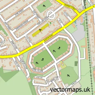
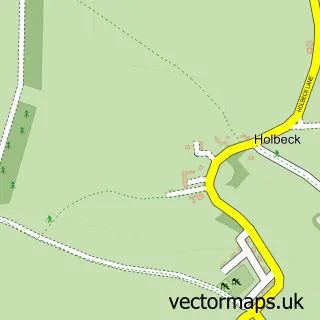
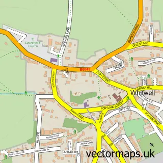
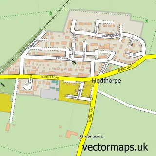
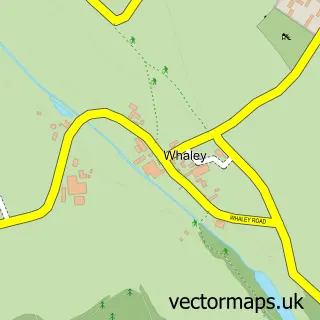
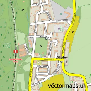
Nearby street map samples around Creswell

More street maps in Derbyshire
750 metre map area coverage
Boundary, postcode and point of interest information for the 750m x 750m rectangle centred on this sample map.
Boundaries containing map centre
Constituency: Bolsover Co Const
County: Derbyshire County
District: Bolsover District
Icb: NHS Derby and Derbyshire ICB
Parish: Elmton with Creswell CP
Police Force: derbyshire
Postcode District: S80
Postcode Sector: S80 4
Ward: Elmton-with-Creswell Ward
Nearby boundaries intersecting sample
Parish: Hodthorpe and Belph CP
Postcode coverage
POI category counts
Atms: 3
Automotive Repair: 3
Coffee Shop: 3
Convenience Store: 3
Elementary School: 3
Professional Services: 3
Retail: 3
Automotive Services And Repair: 2
Bar: 2
Betting Center: 2
Sample points of interest
- Ghost: Retro Arcade Party Hire - UK
- Georgina Bell Felt Studio
- Mr Lala's
- BR Spar Creswell, Cresswell
- PayPoint
- The Cooperative Food (BF) Cresswell Worksop (ERF), Creswell
- Midland Garage
- A F Servicing
- Creswell Repair Centre
- Midlands Renault Specialist
- S D N
- creswell mot centre
Create a larger editable map of Creswell
This sample shows only a 750 metre area. To create a larger map of Creswell, use our map builder to choose your own coverage area, add titles and download editable SVG, PDF and PNG files.
Create a custom map of Creswell