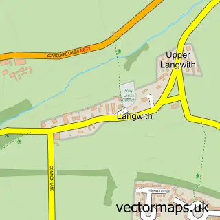
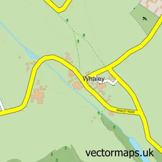
This Nether Langwith street map is a detailed vector street map covering a 750m x 750m area. Select a larger area to create and download your own vector street map of Nether Langwith.
The 750-metre map sample for Nether Langwith covers 259 mapped buildings and approximately 13.7 km of road detail, of which 17 named roads are named. The immediate area includes 1 GP surgery within 2 miles, 1 pub and 5 MOT stations within 2 miles. The wider area around Nether Langwith features 1 food and drink venue. To create a larger or custom map of Nether Langwith, the map builder lets you define your own coverage area and download editable SVG, PDF and PNG files.
Create a larger editable map of Nether Langwith
Choose any area you need and generate a high-quality vector map instantly. Perfect for print, planning, design, business and personal use.

This Nether Langwith street map in Nottinghamshire is available as downloadable SVG, PDF and PNG map files, or as a printed map for planning, business, display, education, local information and design work. You can also create a larger custom map area using the map selector.
What this Nether Langwith map sample shows
Nether Langwith lies within Langwith Cp parish, part of Langwith ward in the Bolsover District local authority area. The postcode geography for this area includes the NG postcode area, the NG20 postcode district and the NG20 9 postcode sector. Residents fall under the Nhs Derby And Derbyshire Integrated Care Board for NHS services.
Local features near Nether Langwith
Within 2 milesAmenities and services in and around Nether Langwith.
Administrative and postcode information for Nether Langwith
Nether Langwith lies within Langwith Cp parish, part of Langwith ward in the Bolsover District local authority area. The postcode geography for this area includes the NG postcode area, the NG20 postcode district and the NG20 9 postcode sector. Residents fall under the Nhs Derby And Derbyshire Integrated Care Board for NHS services.
Nearby street map samples around Nether Langwith

More street maps in Nottinghamshire
750 metre map area coverage
Boundary, postcode and point of interest information for the 750m x 750m rectangle centred on this sample map.
Boundaries containing map centre
Constituency: Bassetlaw Co Const
County: Nottinghamshire County
District: Bassetlaw District
Icb: NHS Nottingham and Nottinghamshire ICB
Parish: Nether Langwith CP
Police Force: nottinghamshire
Postcode District: NG20
Postcode Sector: NG20 9
Ward: Welbeck Ward
Nearby boundaries intersecting sample
Constituency: Bolsover Co Const
County: Derbyshire County
District: Bolsover District
Icb: NHS Derby and Derbyshire ICB
Parish: Langwith CP
Police Force: derbyshire
Ward: Langwith Ward
Postcode coverage
POI category counts
Building Supply Store: 1
Burger Restaurant: 1
Convenience Store: 1
Hardware Store: 1
Post Office: 1
Psychic Medium: 1
Pub: 1
Sign Making: 1
Sample points of interest
- MCL Energy
- Gothic Bites
- Premier Langwith Premier Store
- Norm's DIY and Firewood
- Langwith Post Office
- Rosa Psychic
- The Jug and Glass Inn
- Pro Graphix Group Ltd
Create a larger editable map of Nether Langwith
This sample shows only a 750 metre area. To create a larger map of Nether Langwith, use our map builder to choose your own coverage area, add titles and download editable SVG, PDF and PNG files.
Create a custom map of Nether Langwith