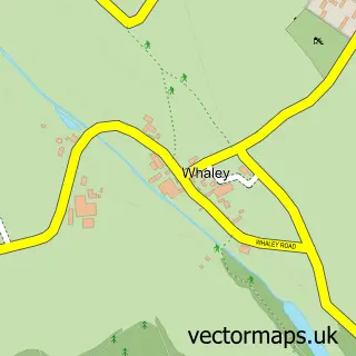
This Shirebrook street map is a detailed vector street map covering a 750m x 750m area. Select a larger area to create and download your own vector street map of Shirebrook.
The 750-metre map sample for Shirebrook covers 577 mapped buildings and approximately 23.5 km of road detail, of which 31 named roads are named. The immediate area includes 2 schools, 1 GP surgery within 2 miles and 4 MOT stations within 2 miles. To create a larger or custom map of Shirebrook, the map builder lets you define your own coverage area and download editable SVG, PDF and PNG files.
Create a larger editable map of Shirebrook
Choose any area you need and generate a high-quality vector map instantly. Perfect for print, planning, design, business and personal use.

This Shirebrook street map in Derbyshire is available as downloadable SVG, PDF and PNG map files, or as a printed map for planning, business, display, education, local information and design work. You can also create a larger custom map area using the map selector.
What this Shirebrook map sample shows
Shirebrook lies within Shirebrook Cp parish, part of Shirebrook South ward in the Bolsover District local authority area. The postcode geography for this area includes the NG postcode area, the NG20 postcode district and the NG20 8 postcode sector. Residents fall under the Nhs Derby And Derbyshire Integrated Care Board for NHS services.
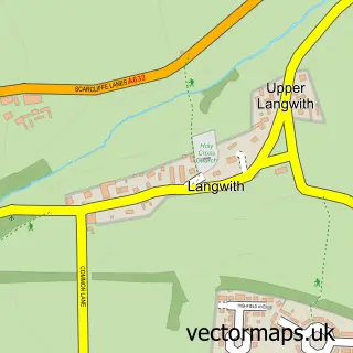
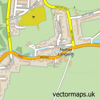
Local features near Shirebrook
Within 2 milesAmenities and services in and around Shirebrook.
Administrative and postcode information for Shirebrook
Shirebrook lies within Shirebrook Cp parish, part of Shirebrook South ward in the Bolsover District local authority area. The postcode geography for this area includes the NG postcode area, the NG20 postcode district and the NG20 8 postcode sector. Residents fall under the Nhs Derby And Derbyshire Integrated Care Board for NHS services.
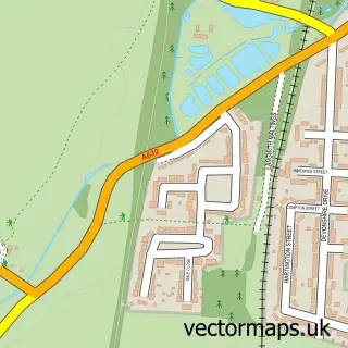
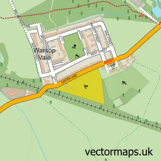
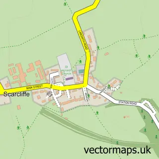
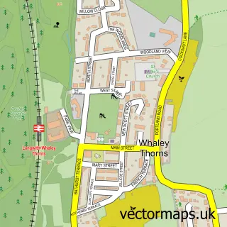
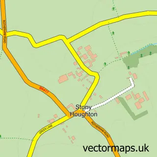
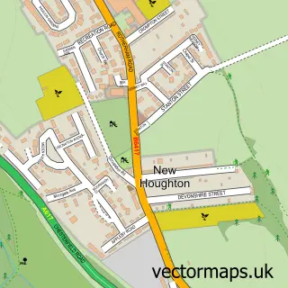
Nearby street map samples around Shirebrook

More street maps in Derbyshire
750 metre map area coverage
Boundary, postcode and point of interest information for the 750m x 750m rectangle centred on this sample map.
Boundaries containing map centre
Constituency: Bolsover Co Const
County: Derbyshire County
District: Bolsover District
Icb: NHS Derby and Derbyshire ICB
Parish: Shirebrook CP
Police Force: derbyshire
Postcode District: NG20
Postcode Sector: NG20 8
Ward: Shirebrook North Ward
Nearby boundaries intersecting sample
Parish: Langwith CP
Postcode Sector: NG20 9
Ward: Langwith Ward
Postcode coverage
POI category counts
Convenience Store: 2
Elementary School: 2
Martial Arts Club: 2
Package Locker: 2
Retirement Home: 2
Accountant: 1
Adult Education: 1
Atms: 1
Bar: 1
Beauty And Spa: 1
Sample points of interest
- Springfield Bookkeeping Services
- Shirebrook Adult Community Education Centre
- ATM (Post Office)
- Preston Arms
- Natalies Beauty
- R & R’s Hair
- BW Landscapes
- Park School Federation
- Shirebrook Village Hall
- Go Local Extra
- jacaranda convenience ltd c/o Go Local Extra
- J.O Electrical Design and Installation
Create a larger editable map of Shirebrook
This sample shows only a 750 metre area. To create a larger map of Shirebrook, use our map builder to choose your own coverage area, add titles and download editable SVG, PDF and PNG files.
Create a custom map of Shirebrook