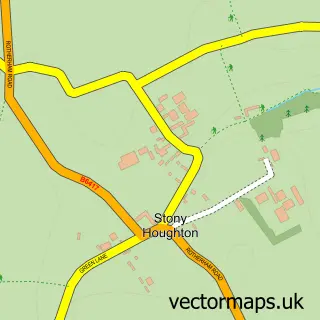
This New Houghton street map is a detailed vector street map covering a 750m x 750m area. Select a larger area to create and download your own vector street map of New Houghton.
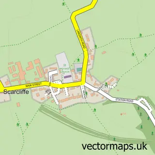
The 750-metre map sample for New Houghton covers 262 mapped buildings and approximately 16.2 km of road detail, of which 21 named roads are named. The immediate area includes 1 GP surgery within 2 miles and 4 MOT stations within 2 miles. The wider area around New Houghton features 1 tourism point of interest. To create a larger or custom map of New Houghton, the map builder lets you define your own coverage area and download editable SVG, PDF and PNG files.
Create a larger editable map of New Houghton
Choose any area you need and generate a high-quality vector map instantly. Perfect for print, planning, design, business and personal use.

This New Houghton street map in Derbyshire is available as downloadable SVG, PDF and PNG map files, or as a printed map for planning, business, display, education, local information and design work. You can also create a larger custom map area using the map selector.
What this New Houghton map sample shows
New Houghton lies within Pleasley Cp parish, part of Ault Hucknall ward in the Bolsover District local authority area. The postcode geography for this area includes the NG postcode area, the NG19 postcode district and the NG19 8 postcode sector. Residents fall under the Nhs Derby And Derbyshire Integrated Care Board for NHS services.
Local features near New Houghton
Within 2 milesAmenities and services in and around New Houghton.
Administrative and postcode information for New Houghton
New Houghton lies within Pleasley Cp parish, part of Ault Hucknall ward in the Bolsover District local authority area. The postcode geography for this area includes the NG postcode area, the NG19 postcode district and the NG19 8 postcode sector. Residents fall under the Nhs Derby And Derbyshire Integrated Care Board for NHS services.
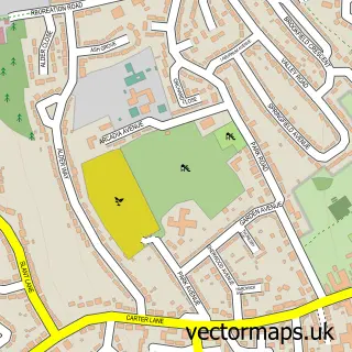
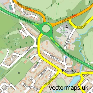
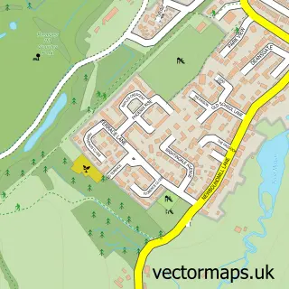
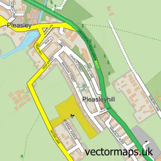
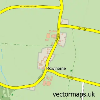
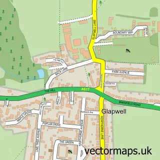
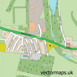
Nearby street map samples around New Houghton

More street maps in Derbyshire
750 metre map area coverage
Boundary, postcode and point of interest information for the 750m x 750m rectangle centred on this sample map.
Boundaries containing map centre
Constituency: Bolsover Co Const
County: Derbyshire County
District: Bolsover District
Icb: NHS Derby and Derbyshire ICB
Parish: Pleasley CP
Police Force: derbyshire
Postcode District: NG19
Postcode Sector: NG19 8
Ward: Ault Hucknall Ward
Nearby boundaries intersecting sample
Postcode Sector: NG19 7
Postcode coverage
POI category counts
Building Supply Store: 2
Community Center: 2
Shipping Center: 2
Automotive Repair: 1
Bar: 1
Bed And Breakfast: 1
Carpet Store: 1
Convenience Store: 1
Corporate Entertainment Services: 1
Courier And Delivery Services: 1
Sample points of interest
- Pat's Automotive
- New Houghton Social Club 15
- Appleby Guest House
- Clifford Domestic Limited
- Hangover Roofing
- 5 star Underlay
- New Houghton Community Centre
- New Houghton Community Hub
- Premier Stanton Stores
- What a Palaver
- Evri ParcelShop
- Issa's Scrumptious cakes
Create a larger editable map of New Houghton
This sample shows only a 750 metre area. To create a larger map of New Houghton, use our map builder to choose your own coverage area, add titles and download editable SVG, PDF and PNG files.
Create a custom map of New Houghton