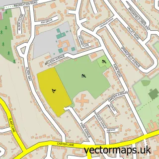
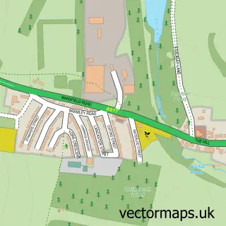
This Scarcliffe street map is a detailed vector street map covering a 750m x 750m area. Select a larger area to create and download your own vector street map of Scarcliffe.
The 750-metre map sample for Scarcliffe covers 94 mapped buildings and approximately 7.5 km of road detail, of which 7 named roads are named. The immediate area includes 1 school, 4 GP surgeries within 2 miles and 3 MOT stations within 2 miles. To create a larger or custom map of Scarcliffe, the map builder lets you define your own coverage area and download editable SVG, PDF and PNG files.
Create a larger editable map of Scarcliffe
Choose any area you need and generate a high-quality vector map instantly. Perfect for print, planning, design, business and personal use.

This Scarcliffe street map in Derbyshire is available as downloadable SVG, PDF and PNG map files, or as a printed map for planning, business, display, education, local information and design work. You can also create a larger custom map area using the map selector.
What this Scarcliffe map sample shows
Scarcliffe lies within Scarcliffe Cp parish, part of Ault Hucknall ward in the Bolsover District local authority area. The postcode geography for this area includes the S postcode area, the S44 postcode district and the S44 6 postcode sector. Residents fall under the Nhs Derby And Derbyshire Integrated Care Board for NHS services.
Local features near Scarcliffe
Within 2 milesAmenities and services in and around Scarcliffe.
Administrative and postcode information for Scarcliffe
The local authority covering Scarcliffe is Bolsover District, within the county of Derbyshire. The settlement lies within Ault Hucknall ward and Scarcliffe Cp civil parish. The S44 postcode district and S44 6 postcode sector serve the immediate area. NHS provision in the area is delivered through Sherwood Forest Hospitals Nhs Foundation Trust.
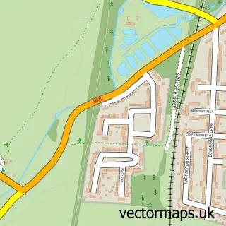
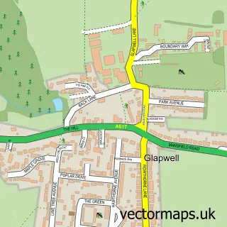
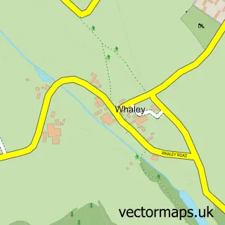
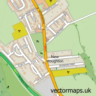
Nearby street map samples around Scarcliffe

More street maps in Derbyshire
750 metre map area coverage
Boundary, postcode and point of interest information for the 750m x 750m rectangle centred on this sample map.
Boundaries containing map centre
Constituency: Bolsover Co Const
County: Derbyshire County
District: Bolsover District
Icb: NHS Derby and Derbyshire ICB
Parish: Scarcliffe CP
Police Force: derbyshire
Postcode District: S44
Postcode Sector: S44 6
Ward: Ault Hucknall Ward
Nearby boundaries intersecting sample
No additional intersecting boundaries found.
Postcode coverage
POI category counts
Church Cathedral: 1
Courier And Delivery Services: 1
Dog Trainer: 1
Elementary School: 1
Inn: 1
Rehabilitation Center: 1
Sample points of interest
- St Leonard's Church
- Evri ParcelShop
- Bad-Dog and co
- Scarcliffe Primary School
- Elm Tree Inn Scarcliffe
- The Limes | Elysium Healthcare
Create a larger editable map of Scarcliffe
This sample shows only a 750 metre area. To create a larger map of Scarcliffe, use our map builder to choose your own coverage area, add titles and download editable SVG, PDF and PNG files.
Create a custom map of Scarcliffe