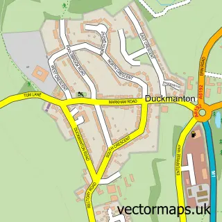
This Bolsover street map is a detailed vector street map covering a 750m x 750m area. Select a larger area to create and download your own vector street map of Bolsover.
The 750-metre map sample for Bolsover covers 407 mapped buildings and approximately 27.1 km of road detail, of which 39 named roads are named. The immediate area includes 2 schools, 3 GP surgeries, 9 pubs and 1 MOT station, with 7 within 2 miles. The wider area around Bolsover features 2 tourism points of interest, 14 food and drink venues and 1 hotel. To create a larger or custom map of Bolsover, the map builder lets you define your own coverage area and download editable SVG, PDF and PNG files.
Create a larger editable map of Bolsover
Choose any area you need and generate a high-quality vector map instantly. Perfect for print, planning, design, business and personal use.

This Bolsover street map in Derbyshire is available as downloadable SVG, PDF and PNG map files, or as a printed map for planning, business, display, education, local information and design work. You can also create a larger custom map area using the map selector.
What this Bolsover map sample shows
Bolsover lies within Old Bolsover Cp parish, part of Bolsover North & Shuttlewood ward in the Bolsover District local authority area. The postcode geography for this area includes the S postcode area, the S44 postcode district and the S44 6 postcode sector. Residents fall under the Nhs Derby And Derbyshire Integrated Care Board for NHS services.
Local features near Bolsover
Within 2 milesAmenities and services in and around Bolsover.
Administrative and postcode information for Bolsover
Bolsover lies within Old Bolsover Cp parish, part of Bolsover North & Shuttlewood ward in the Bolsover District local authority area. The postcode geography for this area includes the S postcode area, the S44 postcode district and the S44 6 postcode sector. Residents fall under the Nhs Derby And Derbyshire Integrated Care Board for NHS services.
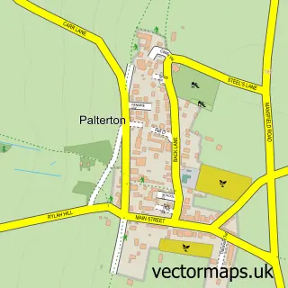
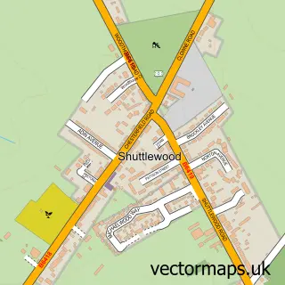
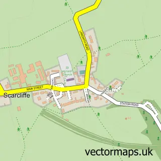
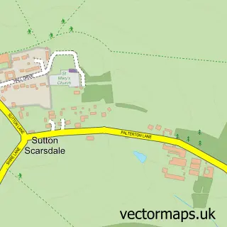
Nearby street map samples around Bolsover


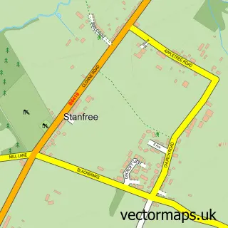
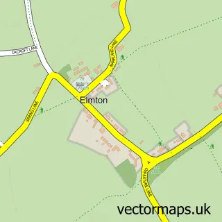
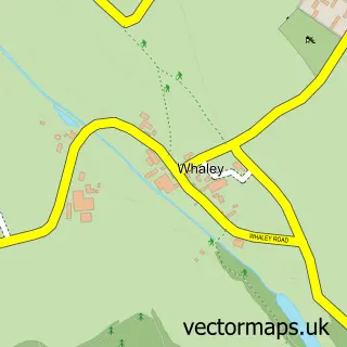
More street maps in Derbyshire
750 metre map area coverage
Boundary, postcode and point of interest information for the 750m x 750m rectangle centred on this sample map.
Boundaries containing map centre
Constituency: Bolsover Co Const
County: Derbyshire County
District: Bolsover District
Icb: NHS Derby and Derbyshire ICB
Parish: Old Bolsover CP
Police Force: derbyshire
Postcode District: S44
Postcode Sector: S44 6
Ward: Bolsover North & Shuttlewood Ward
Nearby boundaries intersecting sample
Ward: Bolsover East Ward, Bolsover South Ward
Postcode coverage
POI category counts
Pub: 9
Flowers And Gifts Shop: 8
Beauty And Spa: 4
Beauty Salon: 4
Doctor: 4
Pizza Restaurant: 4
Professional Services: 4
Church Cathedral: 3
Dentist: 3
Discount Store: 3
Sample points of interest
- Bolsover Antiques Centre
- St. Sebastian Archers
- Em and M Makes
- Vale Care Centre
- ATM (Post Office)
- LAS Autobahn Motors LTD
- Baby Bling
- Castle Oven
- Oven Door
- TSB Bank
- NatWest
- Anchor Inn
Create a larger editable map of Bolsover
This sample shows only a 750 metre area. To create a larger map of Bolsover, use our map builder to choose your own coverage area, add titles and download editable SVG, PDF and PNG files.
Create a custom map of Bolsover