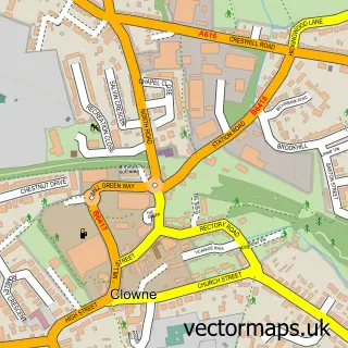
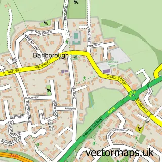
This Stanfree street map is a detailed vector street map covering a 750m x 750m area. Select a larger area to create and download your own vector street map of Stanfree.
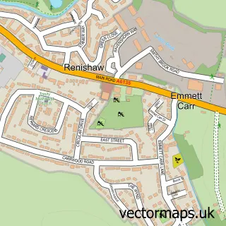
The 750-metre map sample for Stanfree covers 152 mapped buildings and approximately 13.6 km of road detail, of which 9 named roads are named. The immediate area includes 2 GP surgeries within 2 miles and 1 MOT station, with 8 within 2 miles. The wider area around Stanfree features 1 tourism point of interest. To create a larger or custom map of Stanfree, the map builder lets you define your own coverage area and download editable SVG, PDF and PNG files.
Create a larger editable map of Stanfree
Choose any area you need and generate a high-quality vector map instantly. Perfect for print, planning, design, business and personal use.

This Stanfree street map in Derbyshire is available as downloadable SVG, PDF and PNG map files, or as a printed map for planning, business, display, education, local information and design work. You can also create a larger custom map area using the map selector.
What this Stanfree map sample shows
Stanfree lies within Old Bolsover Cp parish, part of Bolsover North & Shuttlewood ward in the Bolsover District local authority area. The postcode geography for this area includes the S postcode area, the S44 postcode district and the S44 6 postcode sector. Residents fall under the Nhs Derby And Derbyshire Integrated Care Board for NHS services.
Local features near Stanfree
Within 2 milesAmenities and services in and around Stanfree.
Administrative and postcode information for Stanfree
Stanfree lies within Old Bolsover Cp parish, part of Bolsover North & Shuttlewood ward in the Bolsover District local authority area. The postcode geography for this area includes the S postcode area, the S44 postcode district and the S44 6 postcode sector. Residents fall under the Nhs Derby And Derbyshire Integrated Care Board for NHS services.
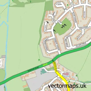
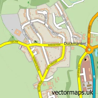
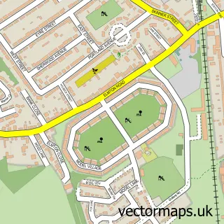
Nearby street map samples around Stanfree

More street maps in Derbyshire
750 metre map area coverage
Boundary, postcode and point of interest information for the 750m x 750m rectangle centred on this sample map.
Boundaries containing map centre
Constituency: Bolsover Co Const
County: Derbyshire County
District: Bolsover District
Icb: NHS Derby and Derbyshire ICB
Parish: Old Bolsover CP
Police Force: derbyshire
Postcode District: S44
Postcode Sector: S44 6
Ward: Clowne West Ward
Nearby boundaries intersecting sample
Parish: Clowne CP
Postcode coverage
POI category counts
Professional Services: 3
Automotive Repair: 1
Bar: 1
Business Management Services: 1
Business Manufacturing And Supply: 1
Gardener: 1
Landmark And Historical Building: 1
Pet Services: 1
Telecommunications: 1
Travel Agents: 1
Sample points of interest
- Damas(Chesterfield) Ltd
- BSB Mobile Bars
- Count On Us Accounting & Business Coaching
- Whapplington Fuels
- LS Contracting
- Stanfree
- Mind The Dog
- S D E
- Standby Power Generation UK
- Storage & Display Equipment
- Direct Aerials
- Donegal Travel
Create a larger editable map of Stanfree
This sample shows only a 750 metre area. To create a larger map of Stanfree, use our map builder to choose your own coverage area, add titles and download editable SVG, PDF and PNG files.
Create a custom map of Stanfree