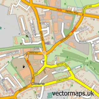
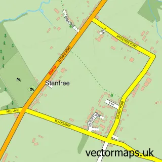
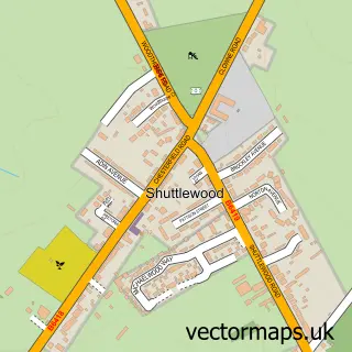
This Barlborough street map is a detailed vector street map covering a 750m x 750m area. Select a larger area to create and download your own vector street map of Barlborough.
The 750-metre map sample for Barlborough covers 441 mapped buildings and approximately 26.4 km of road detail, of which 35 named roads are named. The immediate area includes 1 school, 1 GP surgery, with 3 within 2 miles, 5 pubs and 7 MOT stations within 2 miles. The wider area around Barlborough features 1 tourism point of interest and 6 food and drink venues. To create a larger or custom map of Barlborough, the map builder lets you define your own coverage area and download editable SVG, PDF and PNG files.
Create a larger editable map of Barlborough
Choose any area you need and generate a high-quality vector map instantly. Perfect for print, planning, design, business and personal use.

This Barlborough street map in Derbyshire is available as downloadable SVG, PDF and PNG map files, or as a printed map for planning, business, display, education, local information and design work. You can also create a larger custom map area using the map selector.
What this Barlborough map sample shows
Barlborough lies within Barlborough Cp parish, part of Barlborough ward in the Bolsover District local authority area. The postcode geography for this area includes the S postcode area, the S43 postcode district and the S43 4 postcode sector. Residents fall under the Nhs Derby And Derbyshire Integrated Care Board for NHS services.
Local features near Barlborough
Within 2 milesAmenities and services in and around Barlborough.
Administrative and postcode information for Barlborough
The local authority covering Barlborough is Bolsover District, within the county of Derbyshire. The settlement lies within Barlborough ward and Barlborough Cp civil parish. The S43 postcode district and S43 4 postcode sector serve the immediate area. NHS provision in the area is delivered through Chesterfield Royal Hospital Nhs Foundation Trust.
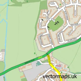
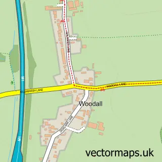
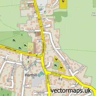
Nearby street map samples around Barlborough

More street maps in Derbyshire
750 metre map area coverage
Boundary, postcode and point of interest information for the 750m x 750m rectangle centred on this sample map.
Boundaries containing map centre
Constituency: Bolsover Co Const
County: Derbyshire County
District: Bolsover District
Icb: NHS Derby and Derbyshire ICB
Parish: Barlborough CP
Police Force: derbyshire
Postcode District: S43
Postcode Sector: S43 4
Ward: Barlborough Ward
Nearby boundaries intersecting sample
No additional intersecting boundaries found.
Postcode coverage
POI category counts
Pub: 5
Church Cathedral: 3
Accommodation: 2
Bed And Breakfast: 2
Community Center: 2
Community Services Non Profits: 2
Contractor: 2
Dance School: 2
Web Designer: 2
Anglican Church: 1
Sample points of interest
- The Apollo Inn
- Tongue Towers
- St James
- Barlborough Miners Welfare Club
- J Widdowson
- Stone Croft Bed and Breakfast
- Royal Oak
- Loweprice Gas
- Barlborough Methodist Church
- Cornerstone Church
- St James the Greater Church
- Barista Hut - Coffee2go
Create a larger editable map of Barlborough
This sample shows only a 750 metre area. To create a larger map of Barlborough, use our map builder to choose your own coverage area, add titles and download editable SVG, PDF and PNG files.
Create a custom map of Barlborough