This Shuttlewood street map is a detailed vector street map covering a 750m x 750m area. Select a larger area to create and download your own vector street map of Shuttlewood.
The 750-metre map sample for Shuttlewood covers 304 mapped buildings and approximately 13.8 km of road detail, of which 16 named roads are named. The immediate area includes 1 school, 3 GP surgeries within 2 miles, 1 pub and 1 MOT station, with 8 within 2 miles. The wider area around Shuttlewood features 2 food and drink venues. To create a larger or custom map of Shuttlewood, the map builder lets you define your own coverage area and download editable SVG, PDF and PNG files.
Create a larger editable map of Shuttlewood
Choose any area you need and generate a high-quality vector map instantly. Perfect for print, planning, design, business and personal use.

This Shuttlewood street map in Derbyshire is available as downloadable SVG, PDF and PNG map files, or as a printed map for planning, business, display, education, local information and design work. You can also create a larger custom map area using the map selector.
What this Shuttlewood map sample shows
Shuttlewood lies within Old Bolsover Cp parish, part of Bolsover North & Shuttlewood ward in the Bolsover District local authority area. The postcode geography for this area includes the S postcode area, the S44 postcode district and the S44 6 postcode sector. Residents fall under the Nhs Derby And Derbyshire Integrated Care Board for NHS services.
Local features near Shuttlewood
Within 2 milesAmenities and services in and around Shuttlewood.
Administrative and postcode information for Shuttlewood
Shuttlewood lies within Old Bolsover Cp parish, part of Bolsover North & Shuttlewood ward in the Bolsover District local authority area. The postcode geography for this area includes the S postcode area, the S44 postcode district and the S44 6 postcode sector. Residents fall under the Nhs Derby And Derbyshire Integrated Care Board for NHS services.
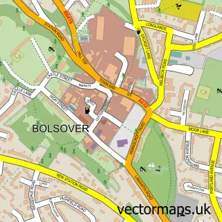
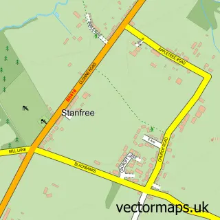
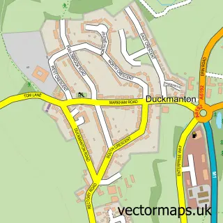
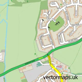
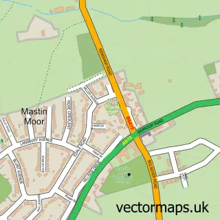
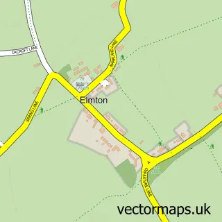
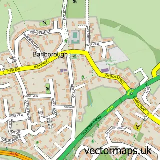
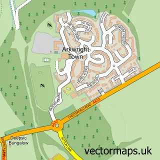
Nearby street map samples around Shuttlewood


More street maps in Derbyshire
750 metre map area coverage
Boundary, postcode and point of interest information for the 750m x 750m rectangle centred on this sample map.
Boundaries containing map centre
Constituency: Bolsover Co Const
County: Derbyshire County
District: Bolsover District
Icb: NHS Derby and Derbyshire ICB
Parish: Old Bolsover CP
Police Force: derbyshire
Postcode District: S44
Postcode Sector: S44 6
Ward: Bolsover North & Shuttlewood Ward
Nearby boundaries intersecting sample
Ward: Clowne West Ward
Postcode coverage
POI category counts
Auto Company: 1
Automotive Repair: 1
Bar: 1
Beauty And Spa: 1
Car Dealer: 1
Carpenter: 1
Construction Services: 1
Dog Walkers: 1
Elementary School: 1
Furniture Store: 1
Sample points of interest
- Chesterfield Motor Empire Ltd
- Hillside Garage
- The devonshire hasland
- Madisons Beauty Rooms
- Shuttlewood Motor Group
- Idamp
- Wards Builders Ltd
- Shardy's K9 Walks
- Brockley Primary School
- Shaky's Salvage Shack - Derbyshire
- Do or Dye Shuttlewood
- Walkies dog grooming
Create a larger editable map of Shuttlewood
This sample shows only a 750 metre area. To create a larger map of Shuttlewood, use our map builder to choose your own coverage area, add titles and download editable SVG, PDF and PNG files.
Create a custom map of Shuttlewood