This Arkwright Town street map is a detailed vector street map covering a 750m x 750m area. Select a larger area to create and download your own vector street map of Arkwright Town.
The 750-metre map sample for Arkwright Town covers 160 mapped buildings and approximately 19.9 km of road detail, of which 15 named roads are named. The immediate area includes 1 school, 1 pub and 6 MOT stations within 2 miles. The wider area around Arkwright Town features 1 food and drink venue. To create a larger or custom map of Arkwright Town, the map builder lets you define your own coverage area and download editable SVG, PDF and PNG files.
Create a larger editable map of Arkwright Town
Choose any area you need and generate a high-quality vector map instantly. Perfect for print, planning, design, business and personal use.

This Arkwright Town street map in Derbyshire is available as downloadable SVG, PDF and PNG map files, or as a printed map for planning, business, display, education, local information and design work. You can also create a larger custom map area using the map selector.
What this Arkwright Town map sample shows
Arkwright Town lies within Sutton Cum Duckmanton Cp parish, part of Sutton ward in the North East Derbyshire District local authority area. The postcode geography for this area includes the S postcode area, the S44 postcode district and the S44 5 postcode sector. Residents fall under the Nhs Derby And Derbyshire Integrated Care Board for NHS services.
Local features near Arkwright Town
Within 2 milesAmenities and services in and around Arkwright Town.
Administrative and postcode information for Arkwright Town
The local authority covering Arkwright Town is North East Derbyshire District, within the county of Derbyshire. The settlement lies within Sutton ward and Sutton Cum Duckmanton Cp civil parish. The S44 postcode district and S44 5 postcode sector serve the immediate area. NHS provision in the area is delivered through Chesterfield Royal Hospital Nhs Foundation Trust.
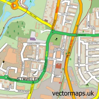
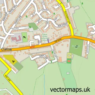
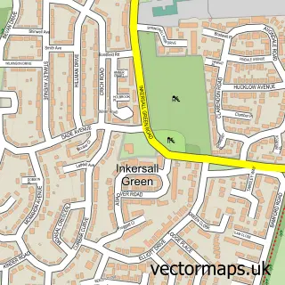
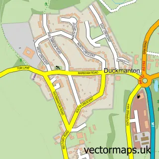
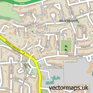
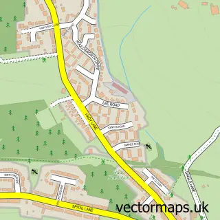
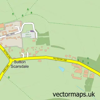
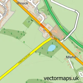
Nearby street map samples around Arkwright Town


More street maps in Derbyshire
750 metre map area coverage
Boundary, postcode and point of interest information for the 750m x 750m rectangle centred on this sample map.
Boundaries containing map centre
Constituency: Bolsover Co Const
County: Derbyshire County
District: North East Derbyshire District
Icb: NHS Derby and Derbyshire ICB
Parish: Sutton cum Duckmanton CP
Police Force: derbyshire
Postcode District: S44
Postcode Sector: S44 5
Ward: Sutton Ward
Nearby boundaries intersecting sample
Parish: Calow CP
Postcode coverage
POI category counts
Business Management Services: 2
Elementary School: 2
Accountant: 1
Chinese Restaurant: 1
Commercial Vehicle Dealer: 1
Event Planning: 1
Pub: 1
Train Station: 1
Venue And Event Space: 1
Sample points of interest
- BAT Bookkeeping Services
- Arkwright Town Post Office
- Post Office-Arkwright Town
- The Ruby
- The Van Yard Ltd
- Arkwright Primary School
- Arkwright Primary School
- The Arkwright Centre
- Arkwright Town Miners Welfare
- Arkwright Town railway station
- Arkwright Centre
Create a larger editable map of Arkwright Town
This sample shows only a 750 metre area. To create a larger map of Arkwright Town, use our map builder to choose your own coverage area, add titles and download editable SVG, PDF and PNG files.
Create a custom map of Arkwright Town