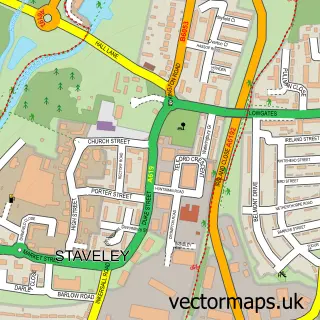
This Middlecroft street map is a detailed vector street map covering a 750m x 750m area. Select a larger area to create and download your own vector street map of Middlecroft.
The 750-metre map sample for Middlecroft covers 516 mapped buildings and approximately 28.4 km of road detail, of which 47 named roads are named. The immediate area includes 1 school, 2 GP surgeries within 2 miles, 1 pub and 11 MOT stations within 2 miles. The wider area around Middlecroft features 1 food and drink venue. To create a larger or custom map of Middlecroft, the map builder lets you define your own coverage area and download editable SVG, PDF and PNG files.
Create a larger editable map of Middlecroft
Choose any area you need and generate a high-quality vector map instantly. Perfect for print, planning, design, business and personal use.

This Middlecroft street map in Derbyshire is available as downloadable SVG, PDF and PNG map files, or as a printed map for planning, business, display, education, local information and design work. You can also create a larger custom map area using the map selector.
What this Middlecroft map sample shows
Middlecroft lies within Staveley Cp parish, part of Hollingwood And Inkersall ward in the Chesterfield District (B) local authority area. The postcode geography for this area includes the S postcode area, the S43 postcode district and the S43 2 postcode sector. Residents fall under the Nhs Derby And Derbyshire Integrated Care Board for NHS services.
Local features near Middlecroft
Within 2 milesAmenities and services in and around Middlecroft.
Administrative and postcode information for Middlecroft
The local authority covering Middlecroft is Chesterfield District (B), within the county of Derbyshire. The settlement lies within Hollingwood And Inkersall ward and Staveley Cp civil parish. The S43 postcode district and S43 2 postcode sector serve the immediate area. NHS provision in the area is delivered through Chesterfield Royal Hospital Nhs Foundation Trust.
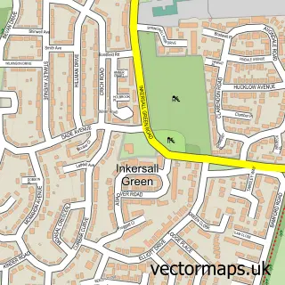
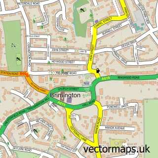
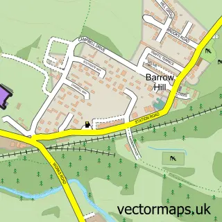
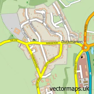
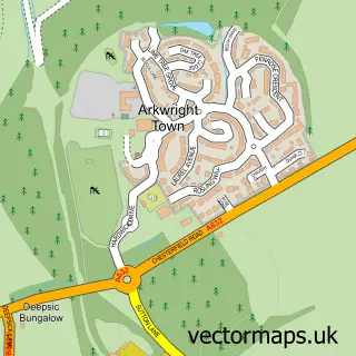
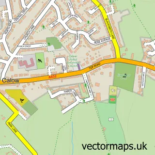
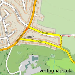
Nearby street map samples around Middlecroft


More street maps in Derbyshire
750 metre map area coverage
Boundary, postcode and point of interest information for the 750m x 750m rectangle centred on this sample map.
Boundaries containing map centre
Constituency: Chesterfield Boro Const
County: Derbyshire County
District: Chesterfield District (B)
Icb: NHS Derby and Derbyshire ICB
Parish: Staveley CP
Police Force: derbyshire
Postcode District: S43
Postcode Sector: S43 3
Ward: Staveley Central Ward
Nearby boundaries intersecting sample
Ward: Staveley South Ward
Postcode coverage
POI category counts
Church Cathedral: 3
Doctor: 2
Professional Services: 2
Rental Kiosks: 2
Scout Hall: 2
Appliance Store: 1
Atms: 1
Bakery: 1
Beauty And Spa: 1
Beauty Salon: 1
Sample points of interest
- Lee Jacques Domestic Appliance Repairs
- ATM (Post Office)
- Maria's Cakes By Design
- New Image
- Purity Beauty Therapy
- Barratt Homes - The Spires
- Post Office-Inkersall
- Inkersall Methodist Church
- Inkersall Methodist Church
- St Columba's Church
- The Hollies Community Centre - Inspiring Inkersall
- SPAR-Inkersall
Create a larger editable map of Middlecroft
This sample shows only a 750 metre area. To create a larger map of Middlecroft, use our map builder to choose your own coverage area, add titles and download editable SVG, PDF and PNG files.
Create a custom map of Middlecroft