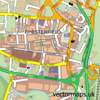
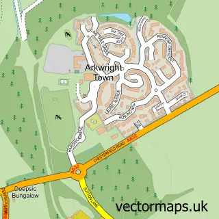
This Tapton street map is a detailed vector street map covering a 750m x 750m area. Select a larger area to create and download your own vector street map of Tapton.
The 750-metre map sample for Tapton covers 291 mapped buildings and approximately 12.9 km of road detail, of which 10 named roads are named. The immediate area includes 7 GP surgeries within 2 miles and 39 MOT stations within 2 miles. The wider area around Tapton features 4 tourism points of interest and 2 food and drink venues. To create a larger or custom map of Tapton, the map builder lets you define your own coverage area and download editable SVG, PDF and PNG files.
Create a larger editable map of Tapton
Choose any area you need and generate a high-quality vector map instantly. Perfect for print, planning, design, business and personal use.

This Tapton street map in Derbyshire is available as downloadable SVG, PDF and PNG map files, or as a printed map for planning, business, display, education, local information and design work. You can also create a larger custom map area using the map selector.
What this Tapton map sample shows
Tapton lies within Derbyshire County parish, part of St Leonard's ward in the Chesterfield District (B) local authority area. The postcode geography for this area includes the S postcode area, the S41 postcode district and the S41 7 postcode sector. Residents fall under the Nhs Derby And Derbyshire Integrated Care Board for NHS services.
Local features near Tapton
Within 2 milesAmenities and services in and around Tapton.
Administrative and postcode information for Tapton
The local authority covering Tapton is Chesterfield District (B), within the county of Derbyshire. The settlement lies within St Leonard's ward and Derbyshire County civil parish. The S41 postcode district and S41 7 postcode sector serve the immediate area. NHS provision in the area is delivered through Chesterfield Royal Hospital Nhs Foundation Trust.
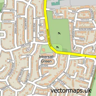
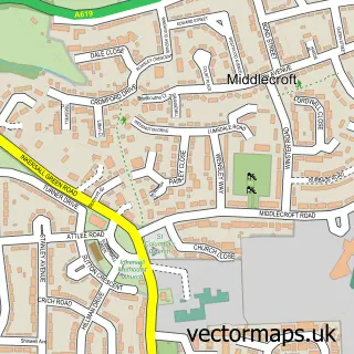
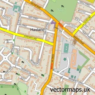
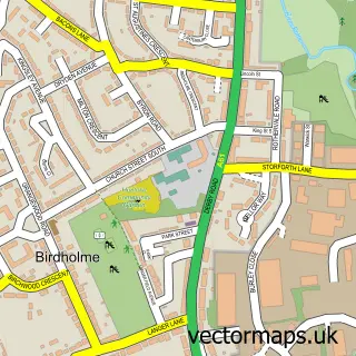
Nearby street map samples around Tapton

More street maps in Derbyshire
750 metre map area coverage
Boundary, postcode and point of interest information for the 750m x 750m rectangle centred on this sample map.
Boundaries containing map centre
Constituency: Chesterfield Boro Const
County: Derbyshire County
District: Chesterfield District (B)
Icb: NHS Derby and Derbyshire ICB
Police Force: derbyshire
Postcode District: S41
Postcode Sector: S41 0
Ward: Brimington South Ward
Nearby boundaries intersecting sample
No additional intersecting boundaries found.
Postcode coverage
POI category counts
It Service And Computer Repair: 3
Plumbing: 3
Advertising Agency: 2
Automotive Repair: 2
Automotive Services And Repair: 2
Business Consulting: 2
Financial Service: 2
Flowers And Gifts Shop: 2
Landmark And Historical Building: 2
Nursery And Gardening: 2
Sample points of interest
- Cassy Marketing Communications
- Creativity Sells Ltd
- Chesterfield college Tapton house campus.
- Ian S Jackson Vehicle Recovery
- Chesterfield Van Conversions
- Mac 1 Performance
- Euro-asian Parts UK
- Simpleworx
- Sweet Let's Eat
- Lockoford Inn
- Business Insolvency Helpline
- Institute of Occupational Medicine
Create a larger editable map of Tapton
This sample shows only a 750 metre area. To create a larger map of Tapton, use our map builder to choose your own coverage area, add titles and download editable SVG, PDF and PNG files.
Create a custom map of Tapton