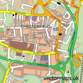
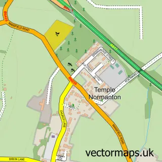
This Hasland street map is a detailed vector street map covering a 750m x 750m area. Select a larger area to create and download your own vector street map of Hasland.
The 750-metre map sample for Hasland covers 587 mapped buildings and approximately 25.6 km of road detail, of which 45 named roads are named. The immediate area includes 2 primary schools and 1 secondary school, 5 GP surgeries within 2 miles, 5 pubs and 18 MOT stations within 2 miles. The wider area around Hasland features 2 tourism points of interest and 6 food and drink venues. To create a larger or custom map of Hasland, the map builder lets you define your own coverage area and download editable SVG, PDF and PNG files.
Create a larger editable map of Hasland
Choose any area you need and generate a high-quality vector map instantly. Perfect for print, planning, design, business and personal use.

This Hasland street map in Derbyshire is available as downloadable SVG, PDF and PNG map files, or as a printed map for planning, business, display, education, local information and design work. You can also create a larger custom map area using the map selector.
What this Hasland map sample shows
Hasland lies within Grassmoor, Hasland And Winsick Cp parish, part of Grassmoor ward in the North East Derbyshire District local authority area. The postcode geography for this area includes the S postcode area, the S41 postcode district and the S41 0 postcode sector. Residents fall under the Nhs Derby And Derbyshire Integrated Care Board for NHS services.
Local features near Hasland
Within 2 milesAmenities and services in and around Hasland.
Administrative and postcode information for Hasland
Hasland lies within Grassmoor, Hasland And Winsick Cp parish, part of Grassmoor ward in the North East Derbyshire District local authority area. The postcode geography for this area includes the S postcode area, the S41 postcode district and the S41 0 postcode sector. Residents fall under the Nhs Derby And Derbyshire Integrated Care Board for NHS services.
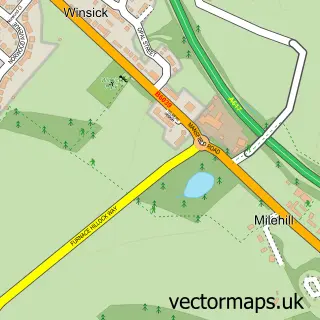
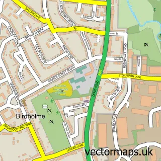
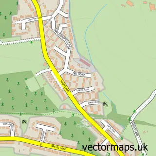
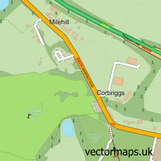
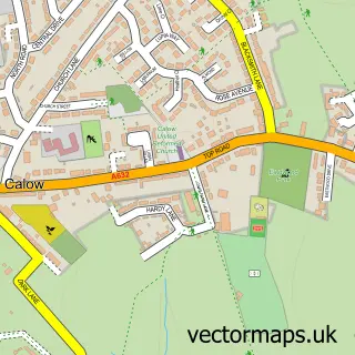
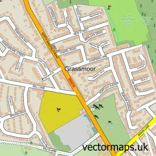
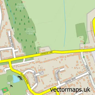
Nearby street map samples around Hasland

More street maps in Derbyshire
750 metre map area coverage
Boundary, postcode and point of interest information for the 750m x 750m rectangle centred on this sample map.
Boundaries containing map centre
Constituency: Chesterfield Boro Const
County: Derbyshire County
District: Chesterfield District (B)
Icb: NHS Derby and Derbyshire ICB
Police Force: derbyshire
Postcode District: S41
Postcode Sector: S41 0
Ward: Hasland Ward
Nearby boundaries intersecting sample
No additional intersecting boundaries found.
Postcode coverage
POI category counts
Beauty Salon: 7
Convenience Store: 7
Flowers And Gifts Shop: 6
Contractor: 5
Pub: 5
Bar: 3
Barber: 3
Gym: 3
Hair Salon: 3
Home Service: 3
Sample points of interest
- Black Box Signs
- Chesterfield Aquatics & Reptiles
- Pottery Bee
- The Green Nursing Home
- BR Spar Hasland TTW
- Topflight Autocentre Ltd
- HiQ
- R S Auto Services
- Chatsworth Motorhome & Caravan Servicing
- D and K creative Cake
- Kate's Pantry
- Hasland Baptist Church
Create a larger editable map of Hasland
This sample shows only a 750 metre area. To create a larger map of Hasland, use our map builder to choose your own coverage area, add titles and download editable SVG, PDF and PNG files.
Create a custom map of Hasland