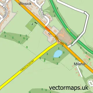
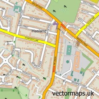
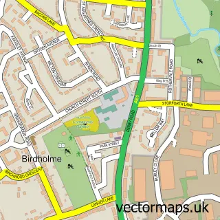
This Corbriggs street map is a detailed vector street map covering a 750m x 750m area. Select a larger area to create and download your own vector street map of Corbriggs.
The 750-metre map sample for Corbriggs covers 55 mapped buildings and approximately 11.0 km of road detail, of which 2 named roads are named. The immediate area includes 1 GP surgery within 2 miles and 1 MOT station, with 12 within 2 miles. The wider area around Corbriggs features 2 tourism points of interest. To create a larger or custom map of Corbriggs, the map builder lets you define your own coverage area and download editable SVG, PDF and PNG files.
Create a larger editable map of Corbriggs
Choose any area you need and generate a high-quality vector map instantly. Perfect for print, planning, design, business and personal use.

This Corbriggs street map in Derbyshire is available as downloadable SVG, PDF and PNG map files, or as a printed map for planning, business, display, education, local information and design work. You can also create a larger custom map area using the map selector.
What this Corbriggs map sample shows
Corbriggs lies within Temple Normanton Cp parish, part of Holmewood & Heath ward in the North East Derbyshire District local authority area. The postcode geography for this area includes the S postcode area, the S42 postcode district and the S42 5 postcode sector. Residents fall under the Nhs Derby And Derbyshire Integrated Care Board for NHS services.
Local features near Corbriggs
Within 2 milesAmenities and services in and around Corbriggs.
Administrative and postcode information for Corbriggs
Corbriggs lies within Temple Normanton Cp parish, part of Holmewood & Heath ward in the North East Derbyshire District local authority area. The postcode geography for this area includes the S postcode area, the S42 postcode district and the S42 5 postcode sector. Residents fall under the Nhs Derby And Derbyshire Integrated Care Board for NHS services.
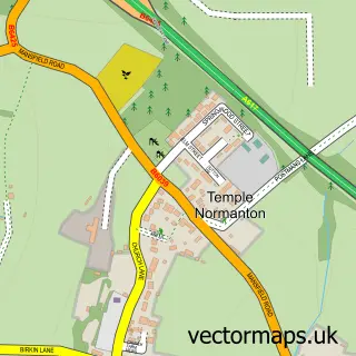
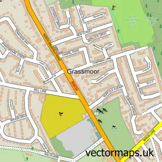
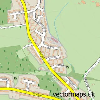
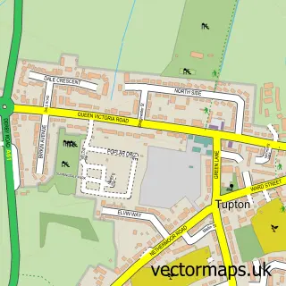
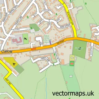
Nearby street map samples around Corbriggs
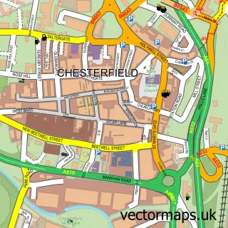

More street maps in Derbyshire
750 metre map area coverage
Boundary, postcode and point of interest information for the 750m x 750m rectangle centred on this sample map.
Boundaries containing map centre
Constituency: North East Derbyshire Co Const
County: Derbyshire County
District: North East Derbyshire District
Icb: NHS Derby and Derbyshire ICB
Parish: Grassmoor, Hasland and Winsick CP
Police Force: derbyshire
Postcode District: S41
Postcode Sector: S41 0
Ward: Grassmoor Ward
Nearby boundaries intersecting sample
Constituency: Bolsover Co Const
Parish: Temple Normanton CP
Ward: Holmewood & Heath Ward
Postcode coverage
POI category counts
Junk Removal And Hauling: 2
Landmark And Historical Building: 2
Professional Services: 2
Taxi Service: 2
Auto Company: 1
Automotive Repair: 1
Automotive Services And Repair: 1
Clothing Store: 1
Health And Medical: 1
Industrial Equipment: 1
Sample points of interest
- Spire Automotive Group Ltd
- Hasland Testing Centre
- Hasland MOT Centre
- Chaty's Embroidery & Printing
- Chatsworth Hall
- C.A. Fields International
- M X G Waste Solutions
- Mxg Waste Solutions
- Corbriggs
- Winsick
- Appletree Restorations
- Clee Hill Plant Ltd
Create a larger editable map of Corbriggs
This sample shows only a 750 metre area. To create a larger map of Corbriggs, use our map builder to choose your own coverage area, add titles and download editable SVG, PDF and PNG files.
Create a custom map of Corbriggs