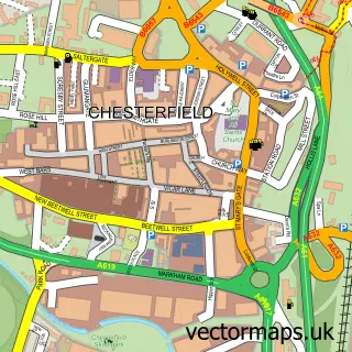
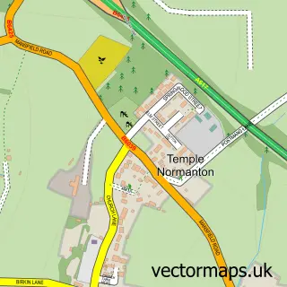
This Winsick street map is a detailed vector street map covering a 750m x 750m area. Select a larger area to create and download your own vector street map of Winsick.
The 750-metre map sample for Winsick covers 105 mapped buildings and approximately 15.3 km of road detail, of which 6 named roads are named. The immediate area includes 2 GP surgeries within 2 miles, 1 pub and 1 MOT station, with 16 within 2 miles. The wider area around Winsick features 1 tourism point of interest and 1 food and drink venue. To create a larger or custom map of Winsick, the map builder lets you define your own coverage area and download editable SVG, PDF and PNG files.
Create a larger editable map of Winsick
Choose any area you need and generate a high-quality vector map instantly. Perfect for print, planning, design, business and personal use.

This Winsick street map in Derbyshire is available as downloadable SVG, PDF and PNG map files, or as a printed map for planning, business, display, education, local information and design work. You can also create a larger custom map area using the map selector.
What this Winsick map sample shows
Winsick lies within Grassmoor, Hasland And Winsick Cp parish, part of Grassmoor ward in the North East Derbyshire District local authority area. The postcode geography for this area includes the S postcode area, the S41 postcode district and the S41 0 postcode sector. Residents fall under the Nhs Derby And Derbyshire Integrated Care Board for NHS services.
Local features near Winsick
Within 2 milesAmenities and services in and around Winsick.
Administrative and postcode information for Winsick
The local authority covering Winsick is North East Derbyshire District, within the county of Derbyshire. The settlement lies within Grassmoor ward and Grassmoor, Hasland And Winsick Cp civil parish. The S41 postcode district and S41 0 postcode sector serve the immediate area. NHS provision in the area is delivered through Chesterfield Royal Hospital Nhs Foundation Trust.
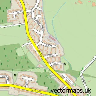
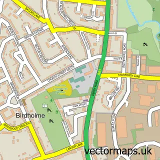
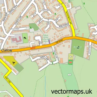
Nearby street map samples around Winsick

More street maps in Derbyshire
750 metre map area coverage
Boundary, postcode and point of interest information for the 750m x 750m rectangle centred on this sample map.
Boundaries containing map centre
Constituency: North East Derbyshire Co Const
County: Derbyshire County
District: North East Derbyshire District
Icb: NHS Derby and Derbyshire ICB
Parish: Grassmoor, Hasland and Winsick CP
Police Force: derbyshire
Postcode District: S41
Postcode Sector: S41 0
Ward: Grassmoor Ward
Nearby boundaries intersecting sample
Constituency: Chesterfield Boro Const
District: Chesterfield District (B)
Ward: Hasland Ward
Postcode coverage
POI category counts
Nursery And Gardening: 2
Package Locker: 2
Taxi Service: 2
Automotive Repair: 1
Automotive Services And Repair: 1
Clothing Store: 1
Contractor: 1
Furniture Store: 1
Home Developer: 1
Home Service: 1
Sample points of interest
- Hasland Testing Centre
- Hasland MOT Centre
- Chaty's Embroidery & Printing
- CJK Sheds Chesterfield
- Derbyshire Bonsai
- Persimmon Homes Alderman Park
- Richmond Building & Roofing Services
- Winsick
- Derek Beckett
- E W van Gemeren
- Van Gemeren & Co Ltd
- Amazon Locker - Crew
Create a larger editable map of Winsick
This sample shows only a 750 metre area. To create a larger map of Winsick, use our map builder to choose your own coverage area, add titles and download editable SVG, PDF and PNG files.
Create a custom map of Winsick