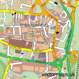
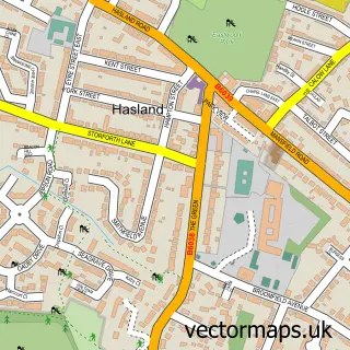
This Calow street map is a detailed vector street map covering a 750m x 750m area. Select a larger area to create and download your own vector street map of Calow.
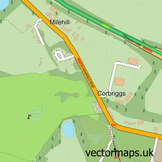
The 750-metre map sample for Calow covers 386 mapped buildings and approximately 16.1 km of road detail, of which 25 named roads are named. The immediate area includes 2 GP surgeries within 2 miles, 1 pub and 1 MOT station, with 17 within 2 miles. The wider area around Calow features 2 food and drink venues. To create a larger or custom map of Calow, the map builder lets you define your own coverage area and download editable SVG, PDF and PNG files.
Create a larger editable map of Calow
Choose any area you need and generate a high-quality vector map instantly. Perfect for print, planning, design, business and personal use.

This Calow street map in Derbyshire is available as downloadable SVG, PDF and PNG map files, or as a printed map for planning, business, display, education, local information and design work. You can also create a larger custom map area using the map selector.
What this Calow map sample shows
Calow lies within Brimington Cp parish, part of Brimington South ward in the Chesterfield District (B) local authority area. The postcode geography for this area includes the S postcode area, the S43 postcode district and the S43 1 postcode sector. Residents fall under the Nhs Derby And Derbyshire Integrated Care Board for NHS services.
Local features near Calow
Within 2 milesAmenities and services in and around Calow.
Administrative and postcode information for Calow
Calow lies within Brimington Cp parish, part of Brimington South ward in the Chesterfield District (B) local authority area. The postcode geography for this area includes the S postcode area, the S43 postcode district and the S43 1 postcode sector. Residents fall under the Nhs Derby And Derbyshire Integrated Care Board for NHS services.
Nearby street map samples around Calow

More street maps in Derbyshire
750 metre map area coverage
Boundary, postcode and point of interest information for the 750m x 750m rectangle centred on this sample map.
Boundaries containing map centre
Constituency: Bolsover Co Const
County: Derbyshire County
District: North East Derbyshire District
Icb: NHS Derby and Derbyshire ICB
Parish: Calow CP
Police Force: derbyshire
Postcode District: S44
Postcode Sector: S44 5
Ward: Sutton Ward
Nearby boundaries intersecting sample
Parish: Sutton cum Duckmanton CP
Postcode coverage
POI category counts
Beauty And Spa: 2
Doctor: 2
Advertising Agency: 1
Assisted Living Facility: 1
Beauty Salon: 1
Business Manufacturing And Supply: 1
Cafe: 1
Car Wash: 1
Church Cathedral: 1
Convenience Store: 1
Sample points of interest
- Social Your Media
- Amberley Nursing Home
- Head Office hair salon
- Le Chic
- Le Chic Beauty Salon
- Coopers Yard Calow S44 5TA
- The Pod Café A617
- Calow car spa
- St Peters Church
- Lifestyle Express
- Evri ParcelShop
- Calow Surgery
Create a larger editable map of Calow
This sample shows only a 750 metre area. To create a larger map of Calow, use our map builder to choose your own coverage area, add titles and download editable SVG, PDF and PNG files.
Create a custom map of Calow