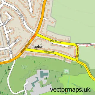
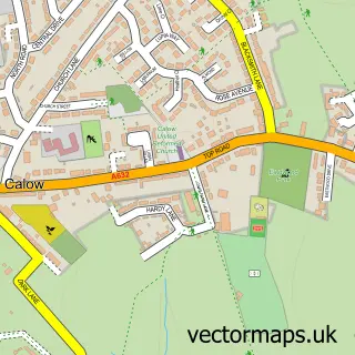
This Chesterfield street map is a detailed vector street map covering a 750m x 750m area. Select a larger area to create and download your own vector street map of Chesterfield.
The 750-metre map sample for Chesterfield covers 173 mapped buildings and approximately 41.8 km of road detail, of which 55 named roads are named. The immediate area includes 8 GP surgeries within 2 miles, 36 pubs and 3 MOT stations, with 37 within 2 miles. The wider area around Chesterfield features 11 tourism points of interest, 80 food and drink venues and 5 hotels. To create a larger or custom map of Chesterfield, the map builder lets you define your own coverage area and download editable SVG, PDF and PNG files.
Create a larger editable map of Chesterfield
Choose any area you need and generate a high-quality vector map instantly. Perfect for print, planning, design, business and personal use.

This Chesterfield street map in Derbyshire is available as downloadable SVG, PDF and PNG map files, or as a printed map for planning, business, display, education, local information and design work. You can also create a larger custom map area using the map selector.
What this Chesterfield map sample shows
Chesterfield lies within Derbyshire County parish, part of St Leonard's ward in the Chesterfield District (B) local authority area. The postcode geography for this area includes the S postcode area, the S41 postcode district and the S41 7 postcode sector. Residents fall under the Nhs Derby And Derbyshire Integrated Care Board for NHS services.
Local features near Chesterfield
Within 2 milesAmenities and services in and around Chesterfield.
Administrative and postcode information for Chesterfield
Chesterfield lies within Derbyshire County parish, part of St Leonard's ward in the Chesterfield District (B) local authority area. The postcode geography for this area includes the S postcode area, the S41 postcode district and the S41 7 postcode sector. Residents fall under the Nhs Derby And Derbyshire Integrated Care Board for NHS services.
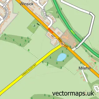
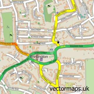
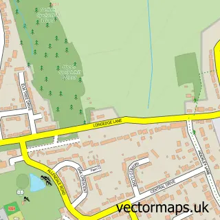
Nearby street map samples around Chesterfield

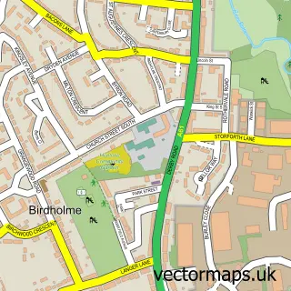
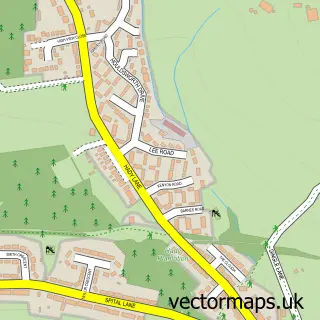
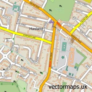
More street maps in Derbyshire
750 metre map area coverage
Boundary, postcode and point of interest information for the 750m x 750m rectangle centred on this sample map.
Boundaries containing map centre
Constituency: Chesterfield Boro Const
County: Derbyshire County
District: Chesterfield District (B)
Icb: NHS Derby and Derbyshire ICB
Police Force: derbyshire
Postcode District: S40
Postcode Sector: S40 1
Ward: Spire Ward
Nearby boundaries intersecting sample
Postcode District: S41
Postcode Sector: S40 2, S41 0, S41 7
Ward: Rother Ward
Postcode coverage
POI category counts
Pub: 36
Beauty Salon: 31
Bar: 25
Jewelry Store: 25
Clothing Store: 24
Hair Salon: 23
Real Estate Agent: 19
Professional Services: 17
Restaurant: 16
Tattoo And Piercing: 16
Sample points of interest
- Taylormade Screen Prints
- Allen, West And Foster Chartered Accountants
- Allen, West and Foster
- BHP LLP (Chesterfield)
- Hurley Hoare and Co
- Innspired Accountancy
- Mitchells Chartered Accountants & Business Advisers
- S B A & Associates
- SBA - Small Business Accountants
- Small Business Accountants
- Acuherb Wellbeing Centre
- Connexions
Create a larger editable map of Chesterfield
This sample shows only a 750 metre area. To create a larger map of Chesterfield, use our map builder to choose your own coverage area, add titles and download editable SVG, PDF and PNG files.
Create a custom map of Chesterfield