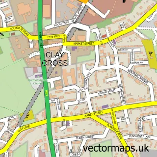
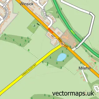
This Grassmoor street map is a detailed vector street map covering a 750m x 750m area. Select a larger area to create and download your own vector street map of Grassmoor.
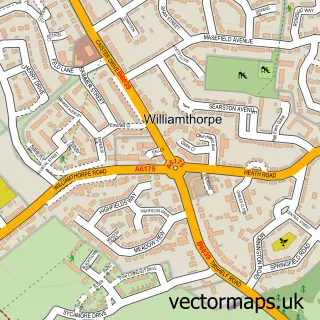
The 750-metre map sample for Grassmoor covers 568 mapped buildings and approximately 24.7 km of road detail, of which 36 named roads are named. The immediate area includes 1 school, 3 GP surgeries within 2 miles, 2 pubs and 1 MOT station, with 12 within 2 miles. The wider area around Grassmoor features 3 tourism points of interest, 4 food and drink venues and 1 hotel. To create a larger or custom map of Grassmoor, the map builder lets you define your own coverage area and download editable SVG, PDF and PNG files.
Create a larger editable map of Grassmoor
Choose any area you need and generate a high-quality vector map instantly. Perfect for print, planning, design, business and personal use.

This Grassmoor street map in Derbyshire is available as downloadable SVG, PDF and PNG map files, or as a printed map for planning, business, display, education, local information and design work. You can also create a larger custom map area using the map selector.
What this Grassmoor map sample shows
Grassmoor lies within Grassmoor, Hasland And Winsick Cp parish, part of Grassmoor ward in the North East Derbyshire District local authority area. The postcode geography for this area includes the S postcode area, the S42 postcode district and the S42 5 postcode sector. Residents fall under the Nhs Derby And Derbyshire Integrated Care Board for NHS services.
Local features near Grassmoor
Within 2 milesAmenities and services in and around Grassmoor.
Administrative and postcode information for Grassmoor
The local authority covering Grassmoor is North East Derbyshire District, within the county of Derbyshire. The settlement lies within Grassmoor ward and Grassmoor, Hasland And Winsick Cp civil parish. The S42 postcode district and S42 5 postcode sector serve the immediate area. NHS provision in the area is delivered through Chesterfield Royal Hospital Nhs Foundation Trust.
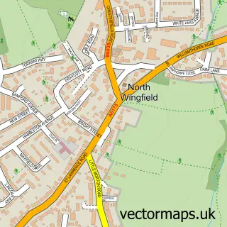
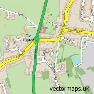
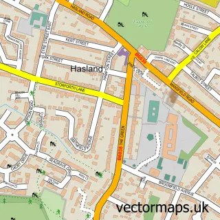
Nearby street map samples around Grassmoor

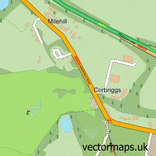
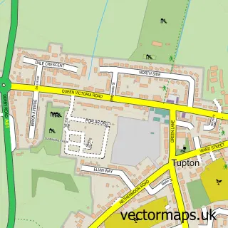
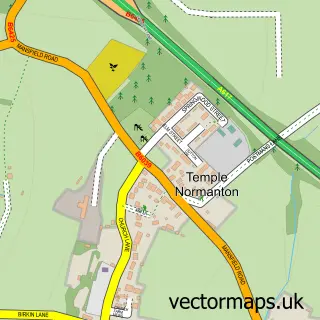
More street maps in Derbyshire
750 metre map area coverage
Boundary, postcode and point of interest information for the 750m x 750m rectangle centred on this sample map.
Boundaries containing map centre
Constituency: North East Derbyshire Co Const
County: Derbyshire County
District: North East Derbyshire District
Icb: NHS Derby and Derbyshire ICB
Parish: Grassmoor, Hasland and Winsick CP
Police Force: derbyshire
Postcode District: S42
Postcode Sector: S42 5
Ward: Grassmoor Ward
Nearby boundaries intersecting sample
Postcode District: S41
Postcode Sector: S41 0
Postcode coverage
POI category counts
Beauty And Spa: 3
Beauty Salon: 3
Convenience Store: 3
Park: 3
Arts And Crafts: 2
Automotive Repair: 2
Bar: 2
Cafe: 2
Pub: 2
Shipping Center: 2
Sample points of interest
- VidLocal Sheffield
- Tony Fletcher Plant Services
- Experience Light & Music
- Hello Beads
- Knight Time Miniatures
- PayPoint
- C T Window Services
- Ben Powell Automotive Ltd
- K D Vehicle Installations
- 9 Lives Bar & Cafe
- Rosie O'Gradys
- Barber Dan'z
Create a larger editable map of Grassmoor
This sample shows only a 750 metre area. To create a larger map of Grassmoor, use our map builder to choose your own coverage area, add titles and download editable SVG, PDF and PNG files.
Create a custom map of Grassmoor