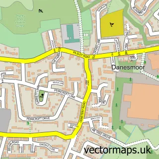
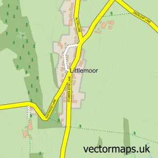
This Clay Cross street map is a detailed vector street map covering a 750m x 750m area. Select a larger area to create and download your own vector street map of Clay Cross.
The 750-metre map sample for Clay Cross covers 453 mapped buildings and approximately 29.1 km of road detail, of which 42 named roads are named. The immediate area includes 2 GP surgeries, with 4 within 2 miles, 8 pubs and 2 MOT stations, with 10 within 2 miles. The wider area around Clay Cross features 1 tourism point of interest and 21 food and drink venues. To create a larger or custom map of Clay Cross, the map builder lets you define your own coverage area and download editable SVG, PDF and PNG files.
Create a larger editable map of Clay Cross
Choose any area you need and generate a high-quality vector map instantly. Perfect for print, planning, design, business and personal use.

This Clay Cross street map in Derbyshire is available as downloadable SVG, PDF and PNG map files, or as a printed map for planning, business, display, education, local information and design work. You can also create a larger custom map area using the map selector.
What this Clay Cross map sample shows
Clay Cross lies within Clay Cross Cp parish, part of Clay Cross South ward in the North East Derbyshire District local authority area. The postcode geography for this area includes the S postcode area, the S45 postcode district and the S45 9 postcode sector. Residents fall under the Nhs Derby And Derbyshire Integrated Care Board for NHS services.
Local features near Clay Cross
Within 2 milesAmenities and services in and around Clay Cross.
Administrative and postcode information for Clay Cross
The local authority covering Clay Cross is North East Derbyshire District, within the county of Derbyshire. The settlement lies within Clay Cross South ward and Clay Cross Cp civil parish. The S45 postcode district and S45 9 postcode sector serve the immediate area. NHS provision in the area is delivered through Chesterfield Royal Hospital Nhs Foundation Trust.
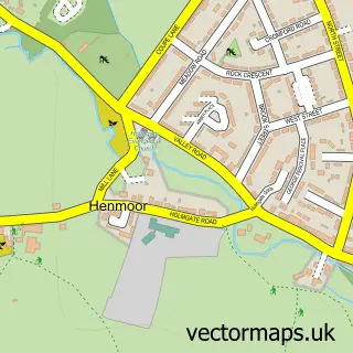
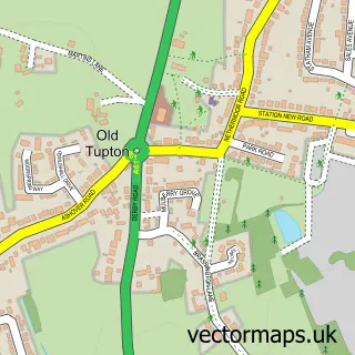
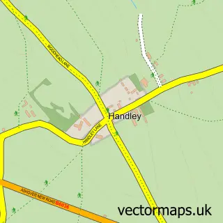
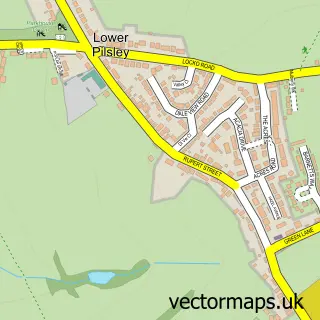
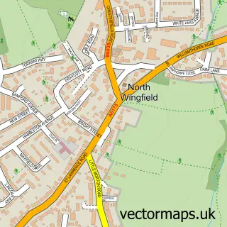
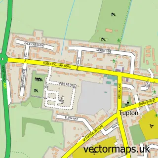
Nearby street map samples around Clay Cross

More street maps in Derbyshire
750 metre map area coverage
Boundary, postcode and point of interest information for the 750m x 750m rectangle centred on this sample map.
Boundaries containing map centre
Constituency: North East Derbyshire Co Const
County: Derbyshire County
District: North East Derbyshire District
Icb: NHS Derby and Derbyshire ICB
Parish: Clay Cross CP
Police Force: derbyshire
Postcode District: S45
Postcode Sector: S45 9
Ward: Clay Cross North Ward
Nearby boundaries intersecting sample
Ward: Clay Cross South Ward
Postcode coverage
POI category counts
Beauty Salon: 20
Hair Salon: 13
Church Cathedral: 11
Cafe: 8
Pub: 8
Beauty And Spa: 6
Flowers And Gifts Shop: 6
Professional Services: 6
Barber: 5
Pet Store: 5
Sample points of interest
- Hayes Worth & Stone Accountancy Services Ltd
- John H F King
- MG Walker & Co Accountants
- Clay Cross Adult Community Education Centre
- St Bartholomew's Clay Cross
- Cotterell Engineering
- SDL Minorfern
- Liza Bakes Ltd
- Lloyds Bank
- Barclays
- Community Banker Clay Cross Banking Hub
- Derbyshire Building Society
Create a larger editable map of Clay Cross
This sample shows only a 750 metre area. To create a larger map of Clay Cross, use our map builder to choose your own coverage area, add titles and download editable SVG, PDF and PNG files.
Create a custom map of Clay Cross