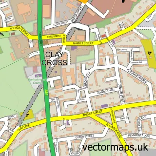
This Henmoor street map is a detailed vector street map covering a 750m x 750m area. Select a larger area to create and download your own vector street map of Henmoor.
The 750-metre map sample for Henmoor covers 245 mapped buildings and approximately 19.0 km of road detail, of which 16 named roads are named. The immediate area includes 1 school, 4 GP surgeries within 2 miles and 8 MOT stations within 2 miles. To create a larger or custom map of Henmoor, the map builder lets you define your own coverage area and download editable SVG, PDF and PNG files.
Create a larger editable map of Henmoor
Choose any area you need and generate a high-quality vector map instantly. Perfect for print, planning, design, business and personal use.

This Henmoor street map in Derbyshire is available as downloadable SVG, PDF and PNG map files, or as a printed map for planning, business, display, education, local information and design work. You can also create a larger custom map area using the map selector.
What this Henmoor map sample shows
Henmoor lies within Clay Cross Cp parish, part of Clay Cross South ward in the North East Derbyshire District local authority area. The postcode geography for this area includes the S postcode area, the S45 postcode district and the S45 9 postcode sector. Residents fall under the Nhs Derby And Derbyshire Integrated Care Board for NHS services.
Local features near Henmoor
Within 2 milesAmenities and services in and around Henmoor.
Administrative and postcode information for Henmoor
The local authority covering Henmoor is North East Derbyshire District, within the county of Derbyshire. The settlement lies within Clay Cross South ward and Clay Cross Cp civil parish. The S45 postcode district and S45 9 postcode sector serve the immediate area. NHS provision in the area is delivered through Chesterfield Royal Hospital Nhs Foundation Trust.
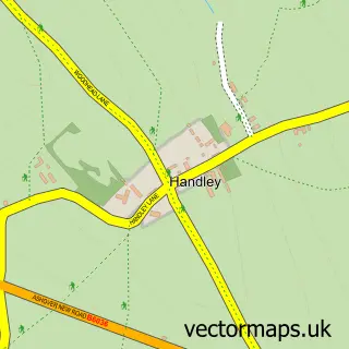
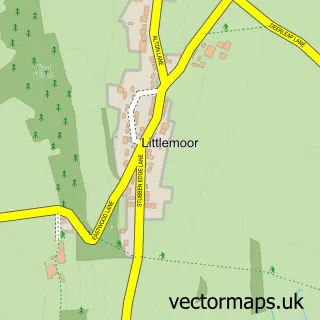
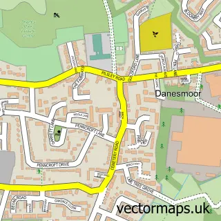
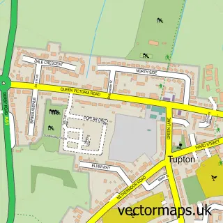
Nearby street map samples around Henmoor

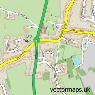
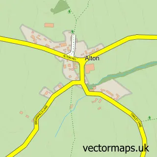
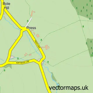
More street maps in Derbyshire
750 metre map area coverage
Boundary, postcode and point of interest information for the 750m x 750m rectangle centred on this sample map.
Boundaries containing map centre
Constituency: North East Derbyshire Co Const
County: Derbyshire County
District: North East Derbyshire District
Icb: NHS Derby and Derbyshire ICB
Parish: Clay Cross CP
Police Force: derbyshire
Postcode District: S45
Postcode Sector: S45 9
Ward: Clay Cross North Ward
Nearby boundaries intersecting sample
Parish: Wingerworth CP
Postcode District: S42
Postcode Sector: S42 6
Postcode coverage
POI category counts
Building Supply Store: 2
Amateur Sports Team: 1
Bus Station: 1
Church Cathedral: 1
Community Center: 1
Convenience Store: 1
Elementary School: 1
Naturopathic Holistic: 1
Party Equipment Rental: 1
Printing Services: 1
Sample points of interest
- Clay Cross Town F.C.
- JP Electrical
- KH Building Services
- Greenways of England
- Holmgate Evangelical Church
- Holmgate Community Centre
- Nisa
- Holmgate Primary School and Nursery
- Serenity Yard
- Black Mask Events
- We Do More Than Print
- Evri ParcelShop
Create a larger editable map of Henmoor
This sample shows only a 750 metre area. To create a larger map of Henmoor, use our map builder to choose your own coverage area, add titles and download editable SVG, PDF and PNG files.
Create a custom map of Henmoor