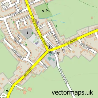
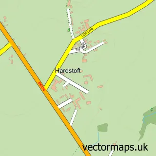
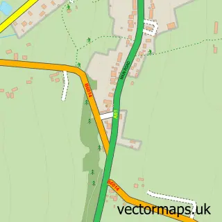
This Lower Pilsley street map is a detailed vector street map covering a 750m x 750m area. Select a larger area to create and download your own vector street map of Lower Pilsley.
The 750-metre map sample for Lower Pilsley covers 285 mapped buildings and approximately 12.9 km of road detail, of which 13 named roads are named. The immediate area includes 1 school, 4 GP surgeries within 2 miles, 1 pub and 9 MOT stations within 2 miles. The wider area around Lower Pilsley features 2 food and drink venues. To create a larger or custom map of Lower Pilsley, the map builder lets you define your own coverage area and download editable SVG, PDF and PNG files.
Create a larger editable map of Lower Pilsley
Choose any area you need and generate a high-quality vector map instantly. Perfect for print, planning, design, business and personal use.

This Lower Pilsley street map in Derbyshire is available as downloadable SVG, PDF and PNG map files, or as a printed map for planning, business, display, education, local information and design work. You can also create a larger custom map area using the map selector.
What this Lower Pilsley map sample shows
Lower Pilsley lies within Pilsley Cp parish, part of Pilsley & Morton ward in the North East Derbyshire District local authority area. The postcode geography for this area includes the S postcode area, the S45 postcode district and the S45 8 postcode sector. Residents fall under the Nhs Derby And Derbyshire Integrated Care Board for NHS services.
Local features near Lower Pilsley
Within 2 milesAmenities and services in and around Lower Pilsley.
Administrative and postcode information for Lower Pilsley
The local authority covering Lower Pilsley is North East Derbyshire District, within the county of Derbyshire. The settlement lies within Pilsley & Morton ward and Pilsley Cp civil parish. The S45 postcode district and S45 8 postcode sector serve the immediate area. NHS provision in the area is delivered through Chesterfield Royal Hospital Nhs Foundation Trust.
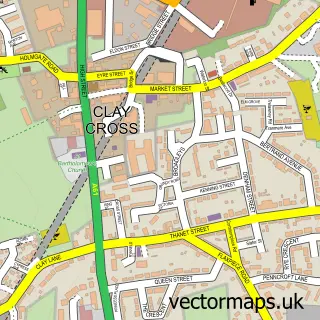
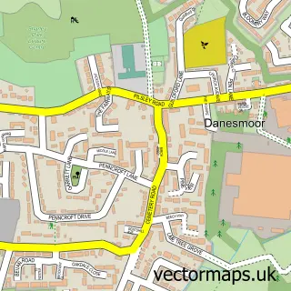
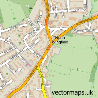
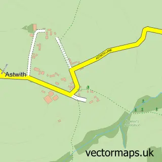
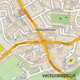
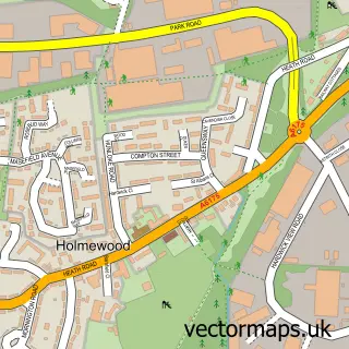
Nearby street map samples around Lower Pilsley

More street maps in Derbyshire
750 metre map area coverage
Boundary, postcode and point of interest information for the 750m x 750m rectangle centred on this sample map.
Boundaries containing map centre
Constituency: Bolsover Co Const
County: Derbyshire County
District: North East Derbyshire District
Icb: NHS Derby and Derbyshire ICB
Parish: Pilsley CP
Police Force: derbyshire
Postcode District: S45
Postcode Sector: S45 8
Ward: Pilsley & Morton Ward
Nearby boundaries intersecting sample
Postcode Sector: S45 9
Postcode coverage
POI category counts
Elementary School: 2
Arts And Crafts: 1
Arts And Entertainment: 1
Automotive Repair: 1
Bakery: 1
Beauty Salon: 1
Building Supply Store: 1
Business Advertising: 1
Coffee Shop: 1
Furniture Accessory Store: 1
Sample points of interest
- Nibbles Needles and Hooks
- Lower Pilsley
- Jack Ellis & Son Car Repairs
- Small Town Girl Bakery
- Salon No.5
- M.E.D. Mobile Jet Cleaning Limited
- Hagg Hill Christmas Trees
- Booths Coffee Shop
- Park House Primary School
- Park House Primary School
- Chatsworth Signs
- Wellness Spa Therapies
Create a larger editable map of Lower Pilsley
This sample shows only a 750 metre area. To create a larger map of Lower Pilsley, use our map builder to choose your own coverage area, add titles and download editable SVG, PDF and PNG files.
Create a custom map of Lower Pilsley