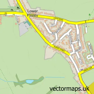
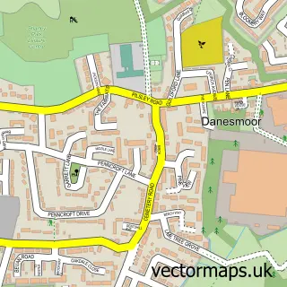
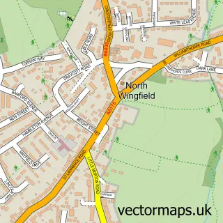
This Pilsley street map is a detailed vector street map covering a 750m x 750m area. Select a larger area to create and download your own vector street map of Pilsley.
The 750-metre map sample for Pilsley covers 360 mapped buildings and approximately 17.7 km of road detail, of which 25 named roads are named. The immediate area includes 1 school, 2 GP surgeries within 2 miles, 1 pub and 1 MOT station, with 5 within 2 miles. The wider area around Pilsley features 1 food and drink venue. To create a larger or custom map of Pilsley, the map builder lets you define your own coverage area and download editable SVG, PDF and PNG files.
Create a larger editable map of Pilsley
Choose any area you need and generate a high-quality vector map instantly. Perfect for print, planning, design, business and personal use.

This Pilsley street map in Derbyshire is available as downloadable SVG, PDF and PNG map files, or as a printed map for planning, business, display, education, local information and design work. You can also create a larger custom map area using the map selector.
What this Pilsley map sample shows
Pilsley lies within Pilsley Cp parish, part of Pilsley & Morton ward in the North East Derbyshire District local authority area. The postcode geography for this area includes the S postcode area, the S45 postcode district and the S45 8 postcode sector. Residents fall under the Nhs Derby And Derbyshire Integrated Care Board for NHS services.
Local features near Pilsley
Within 2 milesAmenities and services in and around Pilsley.
Administrative and postcode information for Pilsley
Pilsley lies within Pilsley Cp parish, part of Pilsley & Morton ward in the North East Derbyshire District local authority area. The postcode geography for this area includes the S postcode area, the S45 postcode district and the S45 8 postcode sector. Residents fall under the Nhs Derby And Derbyshire Integrated Care Board for NHS services.
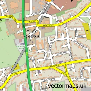
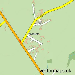
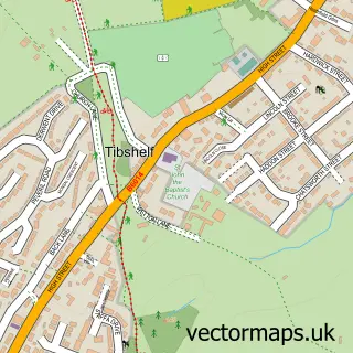
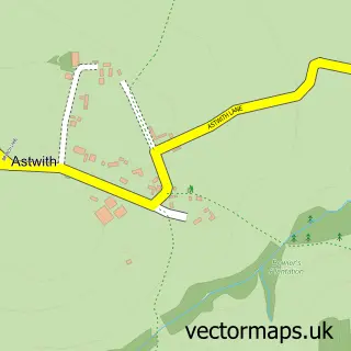
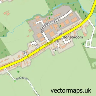
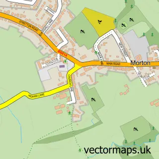
Nearby street map samples around Pilsley

More street maps in Derbyshire
750 metre map area coverage
Boundary, postcode and point of interest information for the 750m x 750m rectangle centred on this sample map.
Boundaries containing map centre
Constituency: Bolsover Co Const
County: Derbyshire County
District: North East Derbyshire District
Icb: NHS Derby and Derbyshire ICB
Parish: Pilsley CP
Police Force: derbyshire
Postcode District: S45
Postcode Sector: S45 8
Ward: Pilsley & Morton Ward
Nearby boundaries intersecting sample
No additional intersecting boundaries found.
Postcode coverage
POI category counts
Community Center: 3
Church Cathedral: 2
Convenience Store: 2
Motorcycle Dealer: 2
Pharmacy: 2
Anglican Church: 1
Atms: 1
Automotive Repair: 1
Carpenter: 1
Contractor: 1
Sample points of interest
- St Mary's Pilsley
- Pilsley Food & Wine, Pilsley
- Stubbs Motor Engineers
- Paul Shaw Joiner & Glazing Contractor
- Pilsley Community Church
- St Mary's Church
- Bridge Street Centre
- Pilsley Community Centre
- St Marys Centre
- CLR Landscapes
- Corner Cuts
- Pilsey News and Post Office
Create a larger editable map of Pilsley
This sample shows only a 750 metre area. To create a larger map of Pilsley, use our map builder to choose your own coverage area, add titles and download editable SVG, PDF and PNG files.
Create a custom map of Pilsley