This Morton street map is a detailed vector street map covering a 750m x 750m area. Select a larger area to create and download your own vector street map of Morton.
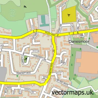
The 750-metre map sample for Morton covers 249 mapped buildings and approximately 12.5 km of road detail, of which 11 named roads are named. The immediate area includes 1 school, 2 pubs and 2 MOT stations within 2 miles. The wider area around Morton features 1 tourism point of interest, 2 food and drink venues and 1 campsite within 2 miles. To create a larger or custom map of Morton, the map builder lets you define your own coverage area and download editable SVG, PDF and PNG files.
Create a larger editable map of Morton
Choose any area you need and generate a high-quality vector map instantly. Perfect for print, planning, design, business and personal use.

This Morton street map in Derbyshire is available as downloadable SVG, PDF and PNG map files, or as a printed map for planning, business, display, education, local information and design work. You can also create a larger custom map area using the map selector.
What this Morton map sample shows
Morton lies within Morton Cp parish, part of Pilsley & Morton ward in the North East Derbyshire District local authority area. The postcode geography for this area includes the DE postcode area, the DE55 postcode district and the DE55 6 postcode sector. Residents fall under the Nhs Derby And Derbyshire Integrated Care Board for NHS services.
Local features near Morton
Within 2 milesAmenities and services in and around Morton.
Administrative and postcode information for Morton
The local authority covering Morton is North East Derbyshire District, within the county of Derbyshire. The settlement lies within Pilsley & Morton ward and Morton Cp civil parish. The DE55 postcode district and DE55 6 postcode sector serve the immediate area. NHS provision in the area is delivered through Chesterfield Royal Hospital Nhs Foundation Trust.
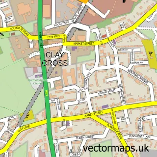
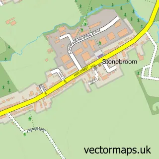
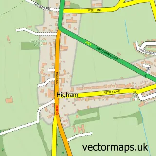
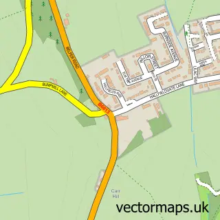
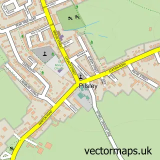
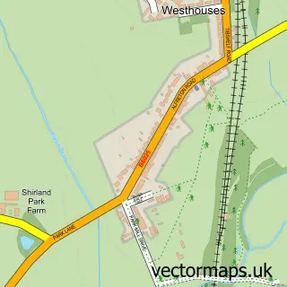
Nearby street map samples around Morton

More street maps in Derbyshire
750 metre map area coverage
Boundary, postcode and point of interest information for the 750m x 750m rectangle centred on this sample map.
Boundaries containing map centre
Constituency: Bolsover Co Const
County: Derbyshire County
District: North East Derbyshire District
Icb: NHS Derby and Derbyshire ICB
Parish: Morton CP
Police Force: derbyshire
Postcode District: DE55
Postcode Sector: DE55 6
Ward: Pilsley & Morton Ward
Nearby boundaries intersecting sample
Parish: Shirland and Higham CP
Ward: Shirland Ward
Postcode coverage
POI category counts
Automotive Repair: 2
Hair Salon: 2
Pub: 2
Accountant: 1
Bakery: 1
Beauty Salon: 1
Charity Organization: 1
Church Cathedral: 1
Community Center: 1
Corporate Entertainment Services: 1
Sample points of interest
- AIMS Accountants for Business - David Lissimore
- Maun Motors
- Sams Wheels
- Pear Tree Cake Kitchen
- The Headquarters in Morton
- PACT Sheffield
- Holy Cross Church
- Morton Village Hall
- Magic Mel
- Morton Colliery Cricket Club
- Post Office Travel Money
- Boblock
Create a larger editable map of Morton
This sample shows only a 750 metre area. To create a larger map of Morton, use our map builder to choose your own coverage area, add titles and download editable SVG, PDF and PNG files.
Create a custom map of Morton