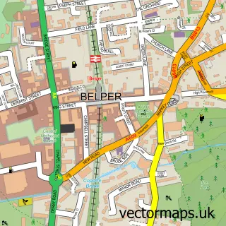
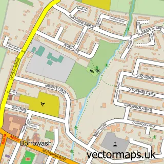
This Derby street map is a detailed vector street map covering a 750m x 750m area. Select a larger area to create and download your own vector street map of Derby.
The 750-metre map sample for Derby covers 131 mapped buildings and approximately 34.6 km of road detail, of which 59 named roads are named. The immediate area includes 1 GP surgery, with 15 within 2 miles, 41 pubs and 70 MOT stations within 2 miles. The wider area around Derby features 17 tourism points of interest, 101 food and drink venues and 9 hotels. To create a larger or custom map of Derby, the map builder lets you define your own coverage area and download editable SVG, PDF and PNG files.
Create a larger editable map of Derby
Choose any area you need and generate a high-quality vector map instantly. Perfect for print, planning, design, business and personal use.

This Derby street map in Derbyshire is available as downloadable SVG, PDF and PNG map files, or as a printed map for planning, business, display, education, local information and design work. You can also create a larger custom map area using the map selector.
What this Derby map sample shows
Derby lies within City Of Derby (B) parish, part of Normanton ward in the City Of Derby (B) local authority area. The postcode geography for this area includes the DE postcode area, the DE23 postcode district and the DE23 1 postcode sector. Residents fall under the Nhs Derby And Derbyshire Integrated Care Board for NHS services.
Local features near Derby
Within 2 milesAmenities and services in and around Derby.
Administrative and postcode information for Derby
Derby lies within City Of Derby (B) parish, part of Normanton ward in the City Of Derby (B) local authority area. The postcode geography for this area includes the DE postcode area, the DE23 postcode district and the DE23 1 postcode sector. Residents fall under the Nhs Derby And Derbyshire Integrated Care Board for NHS services.
Nearby street map samples around Derby
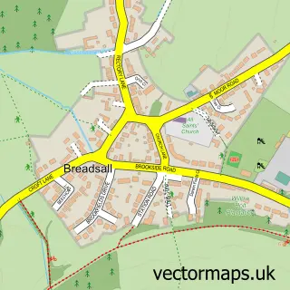
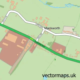
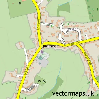
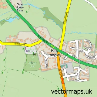
More street maps in Derbyshire
750 metre map area coverage
Boundary, postcode and point of interest information for the 750m x 750m rectangle centred on this sample map.
Boundaries containing map centre
Constituency: Derby South Boro Const
District: City of Derby (B)
Icb: NHS Derby and Derbyshire ICB
Police Force: derbyshire
Postcode District: DE1
Postcode Sector: DE1 3
Ward: Darley Ward
Nearby boundaries intersecting sample
Constituency: Derby North Boro Const
Postcode Sector: DE1 1, DE1 2
Ward: Arboretum Ward
Postcode coverage
POI category counts
Clothing Store: 43
Bar: 41
Pub: 41
Real Estate Agent: 37
Hair Salon: 32
Employment Agencies: 31
Cafe: 27
Beauty Salon: 23
Professional Services: 19
Beauty And Spa: 18
Sample points of interest
- Cathedral Court
- The Croft
- Affirm Accountants
- Ascentant Accountancy
- Ascentant Ltd.
- Goshen Accountancy
- Tax Partnership
- Swimming Pool
- Aniwebdesigns
- Gravity Digital
- P C I
- Patchwork Communications
Create a larger editable map of Derby
This sample shows only a 750 metre area. To create a larger map of Derby, use our map builder to choose your own coverage area, add titles and download editable SVG, PDF and PNG files.
Create a custom map of Derby