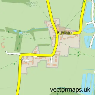
This Kirk Langley street map is a detailed vector street map covering a 750m x 750m area. Select a larger area to create and download your own vector street map of Kirk Langley.
The 750-metre map sample for Kirk Langley covers 187 mapped buildings and approximately 15.4 km of road detail, of which 7 named roads are named. The immediate area includes 1 school and 2 MOT stations within 2 miles. The wider area around Kirk Langley features 1 tourism point of interest. To create a larger or custom map of Kirk Langley, the map builder lets you define your own coverage area and download editable SVG, PDF and PNG files.
Create a larger editable map of Kirk Langley
Choose any area you need and generate a high-quality vector map instantly. Perfect for print, planning, design, business and personal use.

This Kirk Langley street map in Derbyshire is available as downloadable SVG, PDF and PNG map files, or as a printed map for planning, business, display, education, local information and design work. You can also create a larger custom map area using the map selector.
What this Kirk Langley map sample shows
Kirk Langley lies within Kirk Langley Cp parish, part of South West Parishes ward in the Amber Valley District (B) local authority area. The postcode geography for this area includes the DE postcode area, the DE6 postcode district and the DE6 4 postcode sector. Residents fall under the Nhs Derby And Derbyshire Integrated Care Board for NHS services.
Local features near Kirk Langley
Within 2 milesAmenities and services in and around Kirk Langley.
Administrative and postcode information for Kirk Langley
Kirk Langley lies within Kirk Langley Cp parish, part of South West Parishes ward in the Amber Valley District (B) local authority area. The postcode geography for this area includes the DE postcode area, the DE6 postcode district and the DE6 4 postcode sector. Residents fall under the Nhs Derby And Derbyshire Integrated Care Board for NHS services.
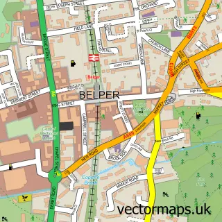
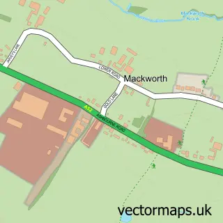
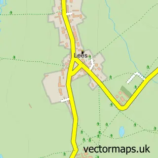
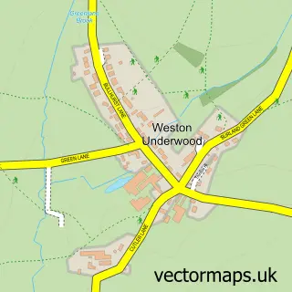
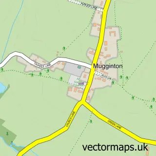
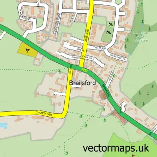
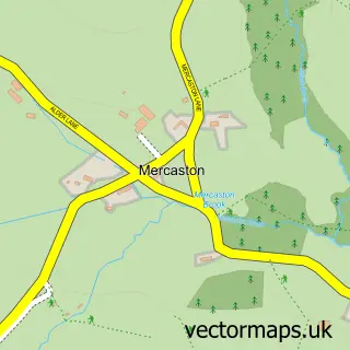
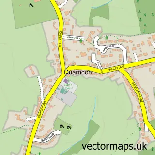
Nearby street map samples around Kirk Langley

More street maps in Derbyshire
750 metre map area coverage
Boundary, postcode and point of interest information for the 750m x 750m rectangle centred on this sample map.
Boundaries containing map centre
Constituency: Mid Derbyshire Co Const
County: Derbyshire County
District: Amber Valley District (B)
Icb: NHS Derby and Derbyshire ICB
Parish: Kirk Langley CP
Police Force: derbyshire
Postcode District: DE6
Postcode Sector: DE6 4
Ward: Alport & South West Parishes Ward
Nearby boundaries intersecting sample
No additional intersecting boundaries found.
Postcode coverage
POI category counts
Anglican Church: 1
Animal Shelter: 1
Bridal Shop: 1
Builders: 1
Church Cathedral: 1
Elementary School: 1
Farm: 1
Park: 1
Powder Coating Service: 1
Sports And Recreation Venue: 1
Sample points of interest
- St Michael's, Kirk Langley
- Derbyshire Cat Centre
- Fiona Elizabeth Couture
- Flagshaw Pastures - Peveril Homes
- St Michael's Church
- Kirk Langley Church of England Primary School
- E. Morley and Sons
- Illam Country Park
- Langley Coatings
- Hopyard Wood
- Kirk Langley Cricket Club
Create a larger editable map of Kirk Langley
This sample shows only a 750 metre area. To create a larger map of Kirk Langley, use our map builder to choose your own coverage area, add titles and download editable SVG, PDF and PNG files.
Create a custom map of Kirk Langley