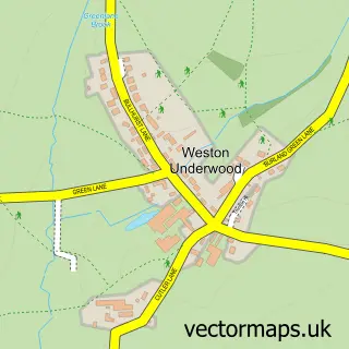
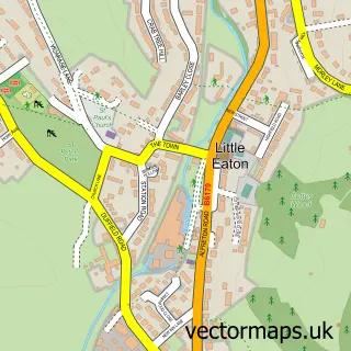
This Mackworth street map is a detailed vector street map covering a 750m x 750m area. Select a larger area to create and download your own vector street map of Mackworth.
The 750-metre map sample for Mackworth covers 82 mapped buildings and approximately 6.9 km of road detail, of which 4 named roads are named. The immediate area includes 4 GP surgeries within 2 miles, 3 pubs and 1 MOT station, with 11 within 2 miles. The wider area around Mackworth features 2 tourism points of interest, 3 food and drink venues and 2 hotels. To create a larger or custom map of Mackworth, the map builder lets you define your own coverage area and download editable SVG, PDF and PNG files.
Create a larger editable map of Mackworth
Choose any area you need and generate a high-quality vector map instantly. Perfect for print, planning, design, business and personal use.

This Mackworth street map in Derbyshire is available as downloadable SVG, PDF and PNG map files, or as a printed map for planning, business, display, education, local information and design work. You can also create a larger custom map area using the map selector.
What this Mackworth map sample shows
Mackworth lies within Mackworth Cp parish, part of South West Parishes ward in the Amber Valley District (B) local authority area. The postcode geography for this area includes the DE postcode area, the DE22 postcode district and the DE22 4 postcode sector. Residents fall under the Nhs Derby And Derbyshire Integrated Care Board for NHS services.
Local features near Mackworth
Within 2 milesAmenities and services in and around Mackworth.
Administrative and postcode information for Mackworth
The local authority covering Mackworth is Amber Valley District (B), within the county of Derbyshire. The settlement lies within South West Parishes ward and Mackworth Cp civil parish. The DE22 postcode district and DE22 4 postcode sector serve the immediate area. NHS provision in the area is delivered through University Hospitals Of Derby And Burton Nhs Foundation Trust.
Nearby street map samples around Mackworth

More street maps in Derbyshire
750 metre map area coverage
Boundary, postcode and point of interest information for the 750m x 750m rectangle centred on this sample map.
Boundaries containing map centre
Constituency: Mid Derbyshire Co Const
County: Derbyshire County
District: Amber Valley District (B)
Icb: NHS Derby and Derbyshire ICB
Parish: Mackworth CP
Police Force: derbyshire
Postcode District: DE22
Postcode Sector: DE22 4
Ward: Alport & South West Parishes Ward
Nearby boundaries intersecting sample
No additional intersecting boundaries found.
Postcode coverage
POI category counts
Professional Services: 4
Pub: 3
Truck Dealer: 3
Auto Body Shop: 2
Car Dealer: 2
Church Cathedral: 2
Financial Service: 2
Hotel: 2
Architectural Designer: 1
Audiologist: 1
Sample points of interest
- AK Innovative Design Solution
- Just Hearing
- Mackworth Vehicle Conversion Specialists
- Motus Vehicle Solutions
- Pentagon Derby Mackworth | Volkswagen Van Centre
- Volkswagen Van Centre Derby
- Strutts Salon
- Strutt's Hair And Beauty
- Mackworth Farm B&B
- The Farmhouse of Mackworth
- FIAT Vans Derby
- Pentagon Volkswagen Van Centres
Create a larger editable map of Mackworth
This sample shows only a 750 metre area. To create a larger map of Mackworth, use our map builder to choose your own coverage area, add titles and download editable SVG, PDF and PNG files.
Create a custom map of Mackworth