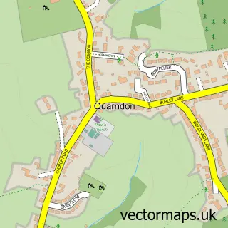
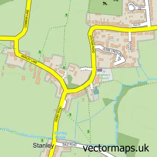
This Breadsall street map is a detailed vector street map covering a 750m x 750m area. Select a larger area to create and download your own vector street map of Breadsall.
The 750-metre map sample for Breadsall covers 247 mapped buildings and approximately 18.4 km of road detail, of which 13 named roads are named. The immediate area includes 2 schools, 3 GP surgeries within 2 miles and 21 MOT stations within 2 miles. The wider area around Breadsall features 1 food and drink venue. To create a larger or custom map of Breadsall, the map builder lets you define your own coverage area and download editable SVG, PDF and PNG files.
Create a larger editable map of Breadsall
Choose any area you need and generate a high-quality vector map instantly. Perfect for print, planning, design, business and personal use.

This Breadsall street map in Derbyshire is available as downloadable SVG, PDF and PNG map files, or as a printed map for planning, business, display, education, local information and design work. You can also create a larger custom map area using the map selector.
What this Breadsall map sample shows
Breadsall lies within Breadsall Cp parish, part of Little Eaton & Stanley ward in the Erewash District (B) local authority area. The postcode geography for this area includes the DE postcode area, the DE21 postcode district and the DE21 5 postcode sector. Residents fall under the Nhs Derby And Derbyshire Integrated Care Board for NHS services.
Local features near Breadsall
Within 2 milesAmenities and services in and around Breadsall.
Administrative and postcode information for Breadsall
Breadsall lies within Breadsall Cp parish, part of Little Eaton & Stanley ward in the Erewash District (B) local authority area. The postcode geography for this area includes the DE postcode area, the DE21 postcode district and the DE21 5 postcode sector. Residents fall under the Nhs Derby And Derbyshire Integrated Care Board for NHS services.
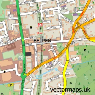
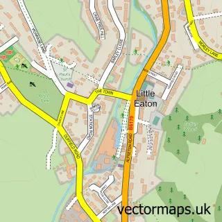
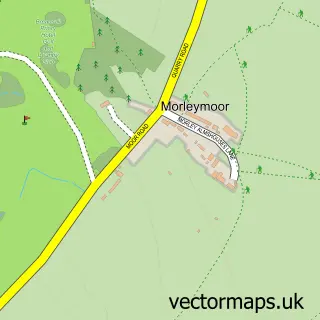
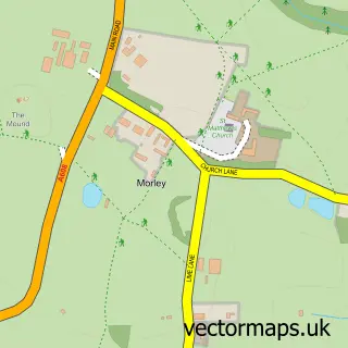
Nearby street map samples around Breadsall

More street maps in Derbyshire
750 metre map area coverage
Boundary, postcode and point of interest information for the 750m x 750m rectangle centred on this sample map.
Boundaries containing map centre
Constituency: Mid Derbyshire Co Const
County: Derbyshire County
District: Erewash District (B)
Icb: NHS Derby and Derbyshire ICB
Parish: Breadsall CP
Police Force: derbyshire
Postcode District: DE21
Postcode Sector: DE21 5
Ward: Little Eaton & Stanley Ward
Nearby boundaries intersecting sample
Postcode Sector: DE21 4
Postcode coverage
POI category counts
Architect: 2
Convenience Store: 2
Building Contractor: 1
Cafe: 1
Church Cathedral: 1
Community Center: 1
Cricket Ground: 1
E Commerce Service: 1
Elementary School: 1
Employment Agencies: 1
Sample points of interest
- Dickinson Building Design
- Dickinson Building Design Ltd.
- Galleon Windows
- Damsons Coffee House
- All Saints' Church, Breadsall
- Breadsall Memorial Hall
- Breadsall Village Shop
- Breadsall Village Shop
- Breadsall Cricket Club
- Ian Lockwood Digital Consultancy
- Breadsall C of E Primary School
- Locum Search
Create a larger editable map of Breadsall
This sample shows only a 750 metre area. To create a larger map of Breadsall, use our map builder to choose your own coverage area, add titles and download editable SVG, PDF and PNG files.
Create a custom map of Breadsall