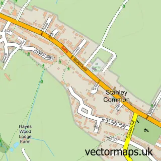
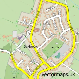
This Stanley street map is a detailed vector street map covering a 750m x 750m area. Select a larger area to create and download your own vector street map of Stanley.
The 750-metre map sample for Stanley covers 172 mapped buildings and approximately 12.3 km of road detail, of which 10 named roads are named. The immediate area includes 1 school, 1 GP surgery within 2 miles, 1 pub and 3 MOT stations within 2 miles. The wider area around Stanley features 2 food and drink venues. To create a larger or custom map of Stanley, the map builder lets you define your own coverage area and download editable SVG, PDF and PNG files.
Create a larger editable map of Stanley
Choose any area you need and generate a high-quality vector map instantly. Perfect for print, planning, design, business and personal use.

This Stanley street map in Derbyshire is available as downloadable SVG, PDF and PNG map files, or as a printed map for planning, business, display, education, local information and design work. You can also create a larger custom map area using the map selector.
What this Stanley map sample shows
Stanley lies within Stanley And Stanley Common Cp parish, part of Little Eaton & Stanley ward in the Erewash District (B) local authority area. The postcode geography for this area includes the DE postcode area, the DE7 postcode district and the DE7 6 postcode sector. Residents fall under the Nhs Derby And Derbyshire Integrated Care Board for NHS services.
Local features near Stanley
Within 2 milesAmenities and services in and around Stanley.
Administrative and postcode information for Stanley
The local authority covering Stanley is Erewash District (B), within the county of Derbyshire. The settlement lies within Little Eaton & Stanley ward and Stanley And Stanley Common Cp civil parish. The DE7 postcode district and DE7 6 postcode sector serve the immediate area. NHS provision in the area is delivered through University Hospitals Of Derby And Burton Nhs Foundation Trust.
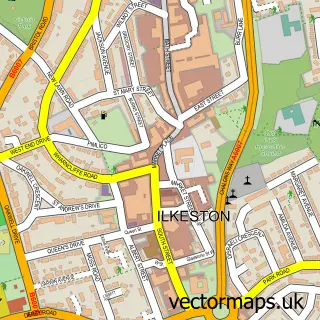
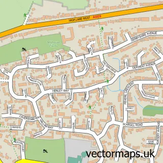
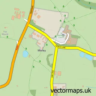
Nearby street map samples around Stanley

More street maps in Derbyshire
750 metre map area coverage
Boundary, postcode and point of interest information for the 750m x 750m rectangle centred on this sample map.
Boundaries containing map centre
Constituency: Mid Derbyshire Co Const
County: Derbyshire County
District: Erewash District (B)
Icb: NHS Derby and Derbyshire ICB
Parish: Stanley and Stanley Common CP
Police Force: derbyshire
Postcode District: DE7
Postcode Sector: DE7 6
Ward: Little Eaton & Stanley Ward
Nearby boundaries intersecting sample
No additional intersecting boundaries found.
Postcode coverage
POI category counts
Beauty And Spa: 2
Elementary School: 2
Shipping Center: 2
Atms: 1
Automotive Repair: 1
Beer Bar: 1
Cafe: 1
Church Cathedral: 1
Contractor: 1
Convenience Store: 1
Sample points of interest
- ATM (Post Office)
- Black Cat Garage
- SP Hair & Beauty
- Salon 108
- Carlton club Ilkeston new
- Farmers - painting with Sarah.
- St Andrew's Church
- Countrywide Grounds Maintenance
- Stanley Convenience Store
- Post Office Travel Money
- Orchard Electrical
- St Andrew's C of E Primary School
Create a larger editable map of Stanley
This sample shows only a 750 metre area. To create a larger map of Stanley, use our map builder to choose your own coverage area, add titles and download editable SVG, PDF and PNG files.
Create a custom map of Stanley