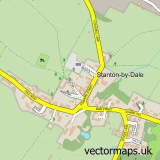
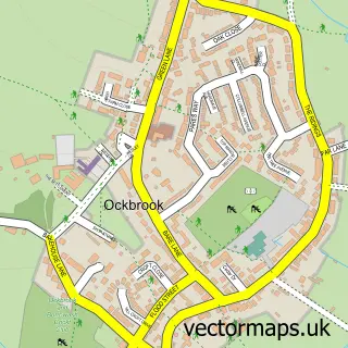
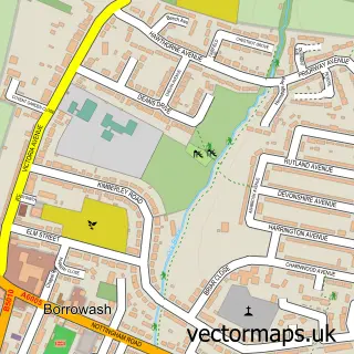
This Dale Abbey street map is a detailed vector street map covering a 750m x 750m area. Select a larger area to create and download your own vector street map of Dale Abbey.
The 750-metre map sample for Dale Abbey covers 51 mapped buildings and approximately 5.2 km of road detail, of which 6 named roads are named. The immediate area includes 1 GP surgery within 2 miles, 1 pub and 1 MOT station within 2 miles. The wider area around Dale Abbey features 1 tourism point of interest and 2 food and drink venues. To create a larger or custom map of Dale Abbey, the map builder lets you define your own coverage area and download editable SVG, PDF and PNG files.
Create a larger editable map of Dale Abbey
Choose any area you need and generate a high-quality vector map instantly. Perfect for print, planning, design, business and personal use.

This Dale Abbey street map in Derbyshire is available as downloadable SVG, PDF and PNG map files, or as a printed map for planning, business, display, education, local information and design work. You can also create a larger custom map area using the map selector.
What this Dale Abbey map sample shows
Dale Abbey lies within Dale Abbey Cp parish, part of West Hallam & Dale Abbey ward in the Erewash District (B) local authority area. The postcode geography for this area includes the DE postcode area, the DE7 postcode district and the DE7 4 postcode sector. Residents fall under the Nhs Derby And Derbyshire Integrated Care Board for NHS services.
Local features near Dale Abbey
Within 2 milesAmenities and services in and around Dale Abbey.
Administrative and postcode information for Dale Abbey
The local authority covering Dale Abbey is Erewash District (B), within the county of Derbyshire. The settlement lies within West Hallam & Dale Abbey ward and Dale Abbey Cp civil parish. The DE7 postcode district and DE7 4 postcode sector serve the immediate area. NHS provision in the area is delivered through University Hospitals Of Derby And Burton Nhs Foundation Trust.
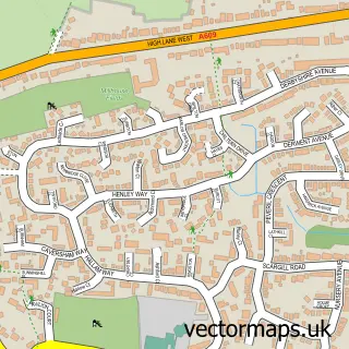
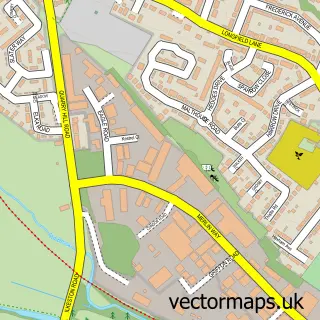
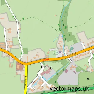
Nearby street map samples around Dale Abbey

More street maps in Derbyshire
750 metre map area coverage
Boundary, postcode and point of interest information for the 750m x 750m rectangle centred on this sample map.
Boundaries containing map centre
Constituency: Mid Derbyshire Co Const
County: Derbyshire County
District: Erewash District (B)
Icb: NHS Derby and Derbyshire ICB
Parish: Dale Abbey CP
Police Force: derbyshire
Postcode District: DE7
Postcode Sector: DE7 4
Ward: West Hallam & Dale Abbey Ward
Nearby boundaries intersecting sample
Parish: Ockbrook and Borrowash CP
Postcode District: DE72
Postcode Sector: DE72 3
Ward: Ockbrook & Borrowash Ward
Postcode coverage
POI category counts
Anglican Church: 1
Automotive Repair: 1
Cave: 1
Coffee Shop: 1
Gastropub: 1
Landmark And Historical Building: 1
Pub: 1
Retail: 1
Sample points of interest
- All Saints
- Abbey Coachworks
- The Hermits Cave, Dale Abbey
- The Friars House Cafe Gallery
- The Carpenters Arms
- The Hermitage
- The Carpenters Arms
- Icarus Media
Create a larger editable map of Dale Abbey
This sample shows only a 750 metre area. To create a larger map of Dale Abbey, use our map builder to choose your own coverage area, add titles and download editable SVG, PDF and PNG files.
Create a custom map of Dale Abbey