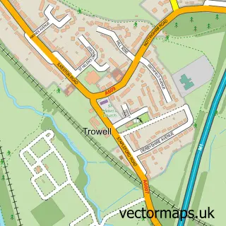
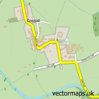
This Stanton by Dale street map is a detailed vector street map covering a 750m x 750m area. Select a larger area to create and download your own vector street map of Stanton by Dale.
The 750-metre map sample for Stanton by Dale covers 137 mapped buildings and approximately 11.2 km of road detail, of which 13 named roads are named. The immediate area includes 6 GP surgeries within 2 miles, 3 pubs and 16 MOT stations within 2 miles. The wider area around Stanton by Dale features 5 food and drink venues. To create a larger or custom map of Stanton by Dale, the map builder lets you define your own coverage area and download editable SVG, PDF and PNG files.
Create a larger editable map of Stanton by Dale
Choose any area you need and generate a high-quality vector map instantly. Perfect for print, planning, design, business and personal use.

This Stanton by Dale street map in Derbyshire is available as downloadable SVG, PDF and PNG map files, or as a printed map for planning, business, display, education, local information and design work. You can also create a larger custom map area using the map selector.
What this Stanton by Dale map sample shows
Stanton by Dale lies within Stanton By Dale Cp parish, part of Kirk Hallam & Stanton-By-Dale ward in the Erewash District (B) local authority area. The postcode geography for this area includes the DE postcode area, the DE7 postcode district and the DE7 4 postcode sector. Residents fall under the Nhs Derby And Derbyshire Integrated Care Board for NHS services.
Local features near Stanton by Dale
Within 2 milesAmenities and services in and around Stanton by Dale.
Administrative and postcode information for Stanton by Dale
The local authority covering Stanton by Dale is Erewash District (B), within the county of Derbyshire. The settlement lies within Kirk Hallam & Stanton-By-Dale ward and Stanton By Dale Cp civil parish. The DE7 postcode district and DE7 4 postcode sector serve the immediate area. NHS provision in the area is delivered through Nottingham University Hospitals Nhs Trust.
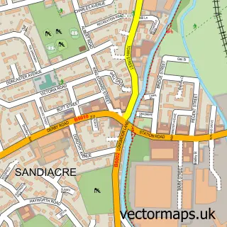
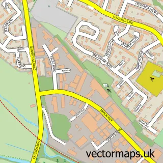
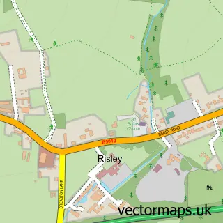
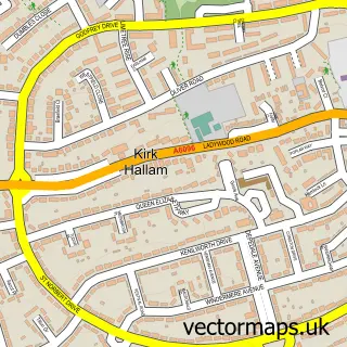
Nearby street map samples around Stanton by Dale

More street maps in Derbyshire
750 metre map area coverage
Boundary, postcode and point of interest information for the 750m x 750m rectangle centred on this sample map.
Boundaries containing map centre
Constituency: Erewash Co Const
County: Derbyshire County
District: Erewash District (B)
Icb: NHS Derby and Derbyshire ICB
Parish: Stanton by Dale CP
Police Force: derbyshire
Postcode District: DE7
Postcode Sector: DE7 4
Ward: Kirk Hallam & Stanton-by-Dale Ward
Nearby boundaries intersecting sample
No additional intersecting boundaries found.
Postcode coverage
POI category counts
Anglican Church: 3
Pub: 3
Church Cathedral: 2
Arts And Entertainment: 1
Cafe: 1
Coffee Shop: 1
Gym: 1
Printing Equipment And Supply: 1
Sample points of interest
- Saint Michael And All Angels Stanton-by-Dale
- St Michael & All Angels
- St. Michael And All Angels Church, Stanton by Dale
- Noiseassess
- The Old School House Deli Cafe
- Hermit's Wood Dale Abbey
- St Michael and All Angels Church
- The Old School House Deli Cafe & Shop
- Iron World Gym
- Print-Source
- Stanhope Arms
- The Chequers
Create a larger editable map of Stanton by Dale
This sample shows only a 750 metre area. To create a larger map of Stanton by Dale, use our map builder to choose your own coverage area, add titles and download editable SVG, PDF and PNG files.
Create a custom map of Stanton by Dale