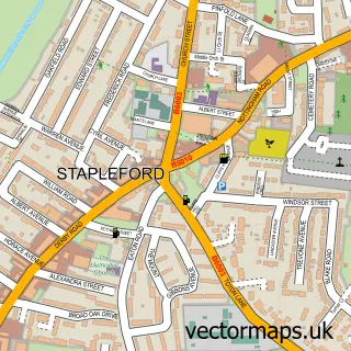
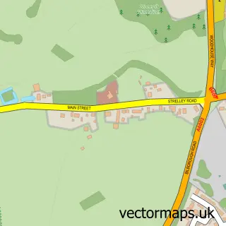
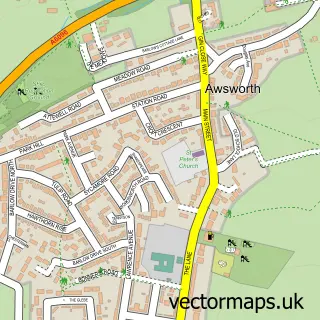
This Trowell street map is a detailed vector street map covering a 750m x 750m area. Select a larger area to create and download your own vector street map of Trowell.
The 750-metre map sample for Trowell covers 231 mapped buildings and approximately 16.9 km of road detail, of which 12 named roads are named. The immediate area includes 1 school, 9 GP surgeries within 2 miles, 4 pubs and 21 MOT stations within 2 miles. The wider area around Trowell features 4 food and drink venues. To create a larger or custom map of Trowell, the map builder lets you define your own coverage area and download editable SVG, PDF and PNG files.
Create a larger editable map of Trowell
Choose any area you need and generate a high-quality vector map instantly. Perfect for print, planning, design, business and personal use.

This Trowell street map in Nottinghamshire is available as downloadable SVG, PDF and PNG map files, or as a printed map for planning, business, display, education, local information and design work. You can also create a larger custom map area using the map selector.
What this Trowell map sample shows
Trowell lies within Trowell Cp parish, part of Awsworth, Cossall & Trowell ward in the Broxtowe District (B) local authority area. The postcode geography for this area includes the NG postcode area, the NG9 postcode district and the NG9 3 postcode sector. Residents fall under the Nhs Nottingham And Nottinghamshire Integrated Care Board for NHS services.
Local features near Trowell
Within 2 milesAmenities and services in and around Trowell.
Administrative and postcode information for Trowell
Trowell lies within Trowell Cp parish, part of Awsworth, Cossall & Trowell ward in the Broxtowe District (B) local authority area. The postcode geography for this area includes the NG postcode area, the NG9 postcode district and the NG9 3 postcode sector. Residents fall under the Nhs Nottingham And Nottinghamshire Integrated Care Board for NHS services.
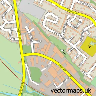
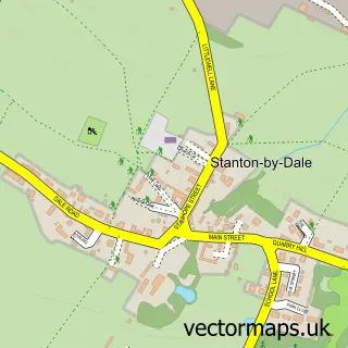
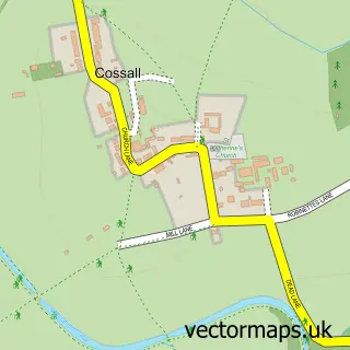
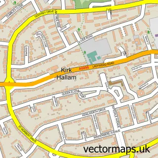
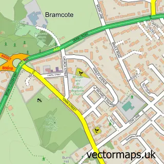
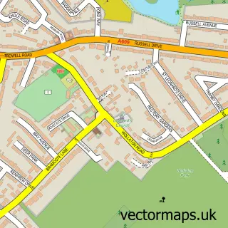
Nearby street map samples around Trowell

More street maps in Nottinghamshire
750 metre map area coverage
Boundary, postcode and point of interest information for the 750m x 750m rectangle centred on this sample map.
Boundaries containing map centre
Constituency: Broxtowe Co Const
County: Nottinghamshire County
District: Broxtowe District (B)
Icb: NHS Nottingham and Nottinghamshire ICB
Parish: Trowell CP
Police Force: nottinghamshire
Postcode District: NG9
Postcode Sector: NG9 3
Ward: Awsworth, Cossall & Trowell Ward
Nearby boundaries intersecting sample
Constituency: Erewash Co Const
County: Derbyshire County
District: Erewash District (B)
Icb: NHS Derby and Derbyshire ICB
Police Force: derbyshire
Postcode District: DE7
Postcode Sector: DE7 4
Ward: Hallam Fields Ward
Postcode coverage
POI category counts
Pub: 4
Elementary School: 2
Guest House: 2
Key And Locksmith: 2
Korean Grocery Store: 2
Appliance Repair Service: 1
Arts And Crafts: 1
Arts And Entertainment: 1
Automotive Dealer: 1
Automotive Repair: 1
Sample points of interest
- Oven Repairs 4u
- The Buying Group
- Trowell Church Hall
- GRIDSERVE
- Ready 4 Retail
- Exclusive Garden Buildings
- St Helen's Church
- Trowell Parish Hall
- Budgens Budgens - Trowell
- Post Office Travel Money
- 80s Party Nights
- Trowell Church of England Primary School
Create a larger editable map of Trowell
This sample shows only a 750 metre area. To create a larger map of Trowell, use our map builder to choose your own coverage area, add titles and download editable SVG, PDF and PNG files.
Create a custom map of Trowell