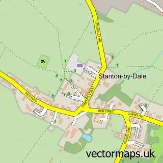
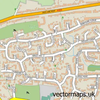
This Hallam Fields street map is a detailed vector street map covering a 750m x 750m area. Select a larger area to create and download your own vector street map of Hallam Fields.
The 750-metre map sample for Hallam Fields covers 405 mapped buildings and approximately 22.6 km of road detail, of which 29 named roads are named. The immediate area includes 5 GP surgeries within 2 miles and 1 MOT station, with 20 within 2 miles. The wider area around Hallam Fields features 2 food and drink venues. To create a larger or custom map of Hallam Fields, the map builder lets you define your own coverage area and download editable SVG, PDF and PNG files.
Create a larger editable map of Hallam Fields
Choose any area you need and generate a high-quality vector map instantly. Perfect for print, planning, design, business and personal use.

This Hallam Fields street map in Derbyshire is available as downloadable SVG, PDF and PNG map files, or as a printed map for planning, business, display, education, local information and design work. You can also create a larger custom map area using the map selector.
What this Hallam Fields map sample shows
Hallam Fields lies within Stanton By Dale Cp parish, part of Kirk Hallam & Stanton-By-Dale ward in the Erewash District (B) local authority area. The postcode geography for this area includes the DE postcode area, the DE7 postcode district and the DE7 4 postcode sector. Residents fall under the Nhs Derby And Derbyshire Integrated Care Board for NHS services.
Local features near Hallam Fields
Within 2 milesAmenities and services in and around Hallam Fields.
Administrative and postcode information for Hallam Fields
Hallam Fields lies within Stanton By Dale Cp parish, part of Kirk Hallam & Stanton-By-Dale ward in the Erewash District (B) local authority area. The postcode geography for this area includes the DE postcode area, the DE7 postcode district and the DE7 4 postcode sector. Residents fall under the Nhs Derby And Derbyshire Integrated Care Board for NHS services.
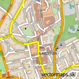
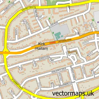
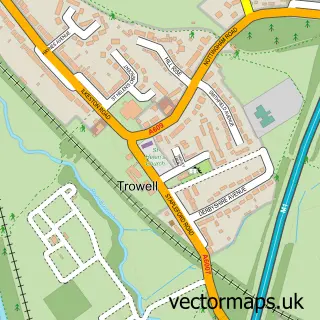
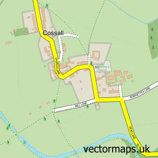
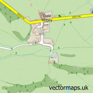
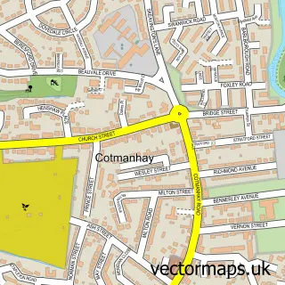
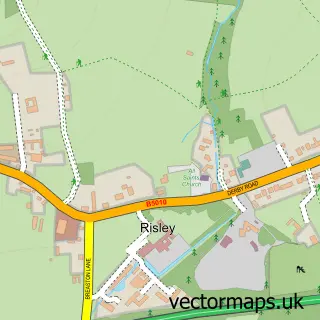
Nearby street map samples around Hallam Fields

More street maps in Derbyshire
750 metre map area coverage
Boundary, postcode and point of interest information for the 750m x 750m rectangle centred on this sample map.
Boundaries containing map centre
Constituency: Erewash Co Const
County: Derbyshire County
District: Erewash District (B)
Icb: NHS Derby and Derbyshire ICB
Police Force: derbyshire
Postcode District: DE7
Postcode Sector: DE7 4
Ward: Hallam Fields Ward
Nearby boundaries intersecting sample
Parish: Stanton by Dale CP
Ward: Kirk Hallam & Stanton-by-Dale Ward
Postcode coverage
POI category counts
Professional Services: 7
Automotive Repair: 6
Building Supply Store: 5
Industrial Equipment: 5
Engineering Services: 4
Door Sales Service: 3
Drugstore: 3
Flooring Contractors: 3
Metal Fabricator: 3
Metal Supplier: 3
Sample points of interest
- EYEJAY Training
- Redesign Creations
- Com-Pak Design
- Enhanced Vision Europe
- Wood Carving Workshops with Ayhan Tomak
- McGovern Crane Hire
- Ward | Ilkeston Skip Hire, Scrap Metal & Waste Management
- Prestige Paintwerkz
- ReemMachine Paint & Body Specialists
- Auto Rara - Griffon Court
- D S Garage Services
- J.P Derry Motor Engineers and Son
Create a larger editable map of Hallam Fields
This sample shows only a 750 metre area. To create a larger map of Hallam Fields, use our map builder to choose your own coverage area, add titles and download editable SVG, PDF and PNG files.
Create a custom map of Hallam Fields