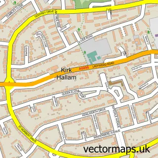
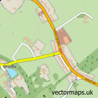
This West Hallam street map is a detailed vector street map covering a 750m x 750m area. Select a larger area to create and download your own vector street map of West Hallam.
The 750-metre map sample for West Hallam covers 697 mapped buildings and approximately 24.1 km of road detail, of which 45 named roads are named. The immediate area includes 1 school, 1 GP surgery within 2 miles and 1 MOT station, with 4 within 2 miles. To create a larger or custom map of West Hallam, the map builder lets you define your own coverage area and download editable SVG, PDF and PNG files.
Create a larger editable map of West Hallam
Choose any area you need and generate a high-quality vector map instantly. Perfect for print, planning, design, business and personal use.

This West Hallam street map in Derbyshire is available as downloadable SVG, PDF and PNG map files, or as a printed map for planning, business, display, education, local information and design work. You can also create a larger custom map area using the map selector.
What this West Hallam map sample shows
West Hallam lies within West Hallam Cp parish, part of West Hallam & Dale Abbey ward in the Erewash District (B) local authority area. The postcode geography for this area includes the DE postcode area, the DE7 postcode district and the DE7 6 postcode sector. Residents fall under the Nhs Derby And Derbyshire Integrated Care Board for NHS services.
Local features near West Hallam
Within 2 milesAmenities and services in and around West Hallam.
Administrative and postcode information for West Hallam
The local authority covering West Hallam is Erewash District (B), within the county of Derbyshire. The settlement lies within West Hallam & Dale Abbey ward and West Hallam Cp civil parish. The DE7 postcode district and DE7 6 postcode sector serve the immediate area. NHS provision in the area is delivered through University Hospitals Of Derby And Burton Nhs Foundation Trust.
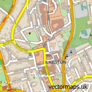
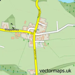
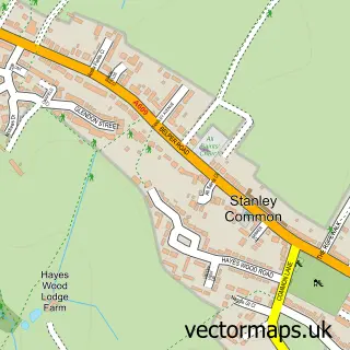
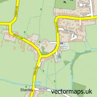
Nearby street map samples around West Hallam

More street maps in Derbyshire
750 metre map area coverage
Boundary, postcode and point of interest information for the 750m x 750m rectangle centred on this sample map.
Boundaries containing map centre
Constituency: Mid Derbyshire Co Const
County: Derbyshire County
District: Erewash District (B)
Icb: NHS Derby and Derbyshire ICB
Parish: West Hallam CP
Police Force: derbyshire
Postcode District: DE7
Postcode Sector: DE7 6
Ward: West Hallam & Dale Abbey Ward
Nearby boundaries intersecting sample
No additional intersecting boundaries found.
Postcode coverage
POI category counts
Gift Shop: 2
Ambulance And Ems Services: 1
Brewery: 1
Building Supply Store: 1
Carpet Store: 1
Contractor: 1
Counseling And Mental Health: 1
Electrician: 1
Financial Advising: 1
Hardware Store: 1
Sample points of interest
- East Midlands Medical Services Ltd
- Nutbrook Brewery
- Stathams Carpets & Flooring
- The Mobile Carpet Co
- D M Home Improvement
- Grow With Serena
- Hancock Electrical Solutions
- Hallmark
- Bottle Kiln Property Ltd.
- The Bottle Kiln
- Advance Improvements
- AB Window Cleaning Services
Create a larger editable map of West Hallam
This sample shows only a 750 metre area. To create a larger map of West Hallam, use our map builder to choose your own coverage area, add titles and download editable SVG, PDF and PNG files.
Create a custom map of West Hallam