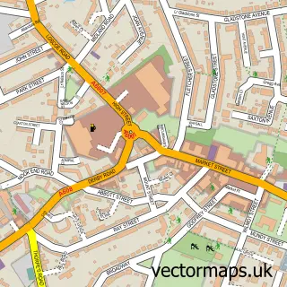
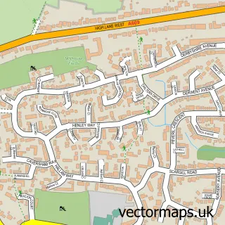
This Smalley street map is a detailed vector street map covering a 750m x 750m area. Select a larger area to create and download your own vector street map of Smalley.
The 750-metre map sample for Smalley covers 297 mapped buildings and approximately 14.4 km of road detail, of which 19 named roads are named. The immediate area includes 1 school, 2 GP surgeries within 2 miles and 1 MOT station, with 10 within 2 miles. To create a larger or custom map of Smalley, the map builder lets you define your own coverage area and download editable SVG, PDF and PNG files.
Create a larger editable map of Smalley
Choose any area you need and generate a high-quality vector map instantly. Perfect for print, planning, design, business and personal use.

This Smalley street map in Derbyshire is available as downloadable SVG, PDF and PNG map files, or as a printed map for planning, business, display, education, local information and design work. You can also create a larger custom map area using the map selector.
What this Smalley map sample shows
Smalley lies within Smalley Cp parish, part of Shipley Park, Horsley And Horsley Woodhouse ward in the Amber Valley District (B) local authority area. The postcode geography for this area includes the DE postcode area, the DE7 postcode district and the DE7 6 postcode sector. Residents fall under the Nhs Derby And Derbyshire Integrated Care Board for NHS services.
Local features near Smalley
Within 2 milesAmenities and services in and around Smalley.
Administrative and postcode information for Smalley
The local authority covering Smalley is Amber Valley District (B), within the county of Derbyshire. The settlement lies within Shipley Park, Horsley And Horsley Woodhouse ward and Smalley Cp civil parish. The DE7 postcode district and DE7 6 postcode sector serve the immediate area. NHS provision in the area is delivered through University Hospitals Of Derby And Burton Nhs Foundation Trust.
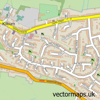
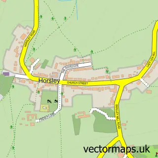
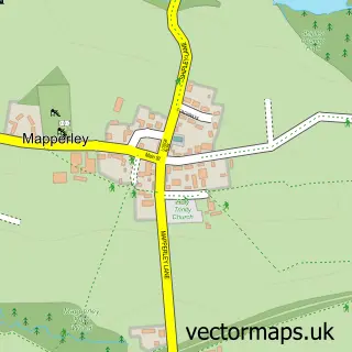
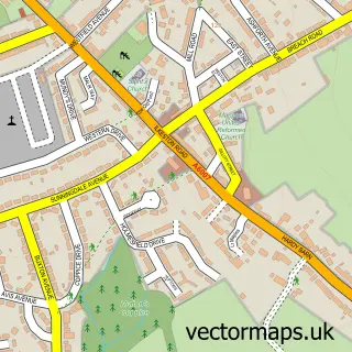
Nearby street map samples around Smalley

More street maps in Derbyshire
750 metre map area coverage
Boundary, postcode and point of interest information for the 750m x 750m rectangle centred on this sample map.
Boundaries containing map centre
Constituency: Amber Valley Co Const
County: Derbyshire County
District: Amber Valley District (B)
Icb: NHS Derby and Derbyshire ICB
Parish: Smalley CP
Police Force: derbyshire
Postcode District: DE7
Postcode Sector: DE7 6
Ward: Smalley, Shipley & Horsley Woodhouse Ward
Nearby boundaries intersecting sample
Parish: Denby CP, Horsley Woodhouse CP
Postcode District: DE5
Postcode Sector: DE5 8
Ward: Kilburn, Denby, Holbrook & Horsley Ward
Postcode coverage
POI category counts
Automotive Repair: 3
Advertising Agency: 1
Beauty And Spa: 1
Building Contractor: 1
Business Management Services: 1
Elementary School: 1
Gardener: 1
Home Goods Store: 1
Lighting Store: 1
Naturopathic Holistic: 1
Sample points of interest
- Four04 Packaging
- D Pyart Mobile Mechanics
- Grahame's Autos Service & Repair
- Smalley Service Station
- More than Soap
- Ashcroft Fencing & Garden Services
- Atlanta Entertainments Agency Ltd.
- Richardson Endowed Primary School
- YourAspect Garden services
- Motor Movers Direct
- Obie Specialist Lighting Ltd
- Equilibrium Bib
Create a larger editable map of Smalley
This sample shows only a 750 metre area. To create a larger map of Smalley, use our map builder to choose your own coverage area, add titles and download editable SVG, PDF and PNG files.
Create a custom map of Smalley