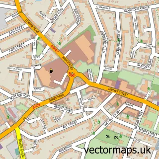
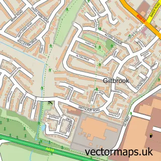
This Marlpool street map is a detailed vector street map covering a 750m x 750m area. Select a larger area to create and download your own vector street map of Marlpool.
The 750-metre map sample for Marlpool covers 468 mapped buildings and approximately 22.5 km of road detail, of which 28 named roads are named. The immediate area includes 1 school, 5 GP surgeries within 2 miles, 2 pubs and 1 MOT station, with 12 within 2 miles. The wider area around Marlpool features 2 tourism points of interest and 2 food and drink venues. To create a larger or custom map of Marlpool, the map builder lets you define your own coverage area and download editable SVG, PDF and PNG files.
Create a larger editable map of Marlpool
Choose any area you need and generate a high-quality vector map instantly. Perfect for print, planning, design, business and personal use.

This Marlpool street map in Derbyshire is available as downloadable SVG, PDF and PNG map files, or as a printed map for planning, business, display, education, local information and design work. You can also create a larger custom map area using the map selector.
What this Marlpool map sample shows
Marlpool lies within Heanor And Loscoe Cp parish, part of Heanor West ward in the Amber Valley District (B) local authority area. The postcode geography for this area includes the DE postcode area, the DE75 postcode district and the DE75 7 postcode sector. Residents fall under the Nhs Derby And Derbyshire Integrated Care Board for NHS services.
Local features near Marlpool
Within 2 milesAmenities and services in and around Marlpool.
Administrative and postcode information for Marlpool
Marlpool lies within Heanor And Loscoe Cp parish, part of Heanor West ward in the Amber Valley District (B) local authority area. The postcode geography for this area includes the DE postcode area, the DE75 postcode district and the DE75 7 postcode sector. Residents fall under the Nhs Derby And Derbyshire Integrated Care Board for NHS services.
Nearby street map samples around Marlpool

More street maps in Derbyshire
750 metre map area coverage
Boundary, postcode and point of interest information for the 750m x 750m rectangle centred on this sample map.
Boundaries containing map centre
Constituency: Amber Valley Co Const
County: Derbyshire County
District: Amber Valley District (B)
Icb: NHS Derby and Derbyshire ICB
Parish: Heanor and Loscoe CP
Police Force: derbyshire
Postcode District: DE75
Postcode Sector: DE75 7
Ward: Heanor East Ward
Nearby boundaries intersecting sample
Parish: Shipley CP
Ward: Heanor West & Loscoe Ward, Smalley, Shipley & Horsley Woodhouse Ward
Postcode coverage
POI category counts
Automotive Repair: 2
Beauty Salon: 2
Charity Organization: 2
Church Cathedral: 2
Convenience Store: 2
Dentist: 2
Kitchen And Bath: 2
Pub: 2
Social Service Organizations: 2
Anglican Church: 1
Sample points of interest
- All Saints
- Andy's Repair Shop
- Pro Shrimp
- Don De Rosa Motor Services
- Don Derosa
- Belle ink & beauty
- Day n Night Hair & Beauty Salon
- The Marlpool Brewing Co
- Infinite Facility Management
- Heanor Branch - Royal British Legion
- Royal British Legion - Heanor Branch
- Happy Hill Chinese Takeaway
Create a larger editable map of Marlpool
This sample shows only a 750 metre area. To create a larger map of Marlpool, use our map builder to choose your own coverage area, add titles and download editable SVG, PDF and PNG files.
Create a custom map of Marlpool