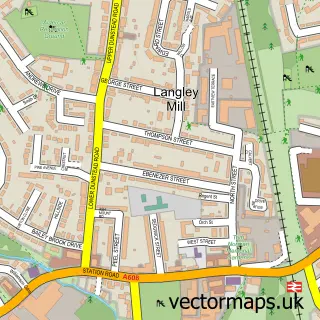
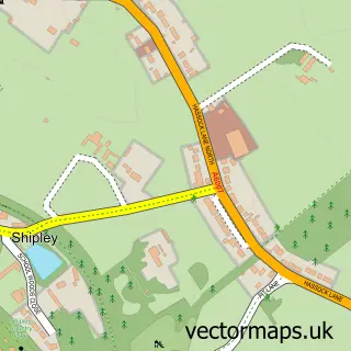
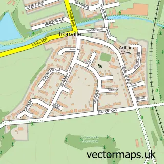
This Aldercar street map is a detailed vector street map covering a 750m x 750m area. Select a larger area to create and download your own vector street map of Aldercar.
The 750-metre map sample for Aldercar covers 485 mapped buildings and approximately 23.4 km of road detail, of which 35 named roads are named. The immediate area includes 1 primary school and 1 secondary school, 5 GP surgeries within 2 miles, 1 pub and 16 MOT stations within 2 miles. The wider area around Aldercar features 1 tourism point of interest and 1 food and drink venue. To create a larger or custom map of Aldercar, the map builder lets you define your own coverage area and download editable SVG, PDF and PNG files.
Create a larger editable map of Aldercar
Choose any area you need and generate a high-quality vector map instantly. Perfect for print, planning, design, business and personal use.

This Aldercar street map in Derbyshire is available as downloadable SVG, PDF and PNG map files, or as a printed map for planning, business, display, education, local information and design work. You can also create a larger custom map area using the map selector.
What this Aldercar map sample shows
Aldercar lies within Aldercar And Langley Mill Cp parish, part of Langley Mill And Aldercar ward in the Amber Valley District (B) local authority area. The postcode geography for this area includes the NG postcode area, the NG16 postcode district and the NG16 4 postcode sector. Residents fall under the Nhs Derby And Derbyshire Integrated Care Board for NHS services.
Local features near Aldercar
Within 2 milesAmenities and services in and around Aldercar.
Administrative and postcode information for Aldercar
Aldercar lies within Aldercar And Langley Mill Cp parish, part of Langley Mill And Aldercar ward in the Amber Valley District (B) local authority area. The postcode geography for this area includes the NG postcode area, the NG16 postcode district and the NG16 4 postcode sector. Residents fall under the Nhs Derby And Derbyshire Integrated Care Board for NHS services.
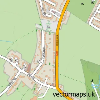
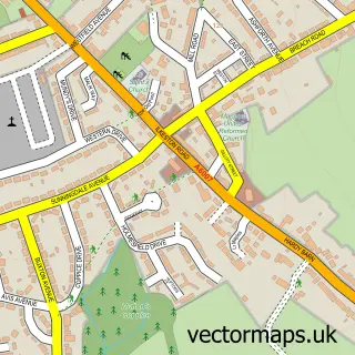
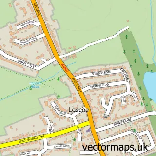
Nearby street map samples around Aldercar

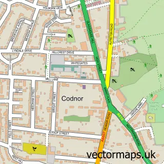
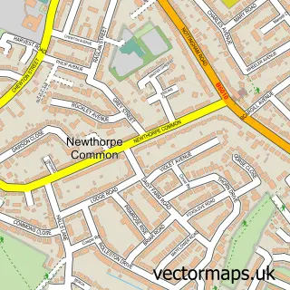
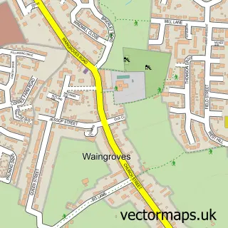
More street maps in Derbyshire
750 metre map area coverage
Boundary, postcode and point of interest information for the 750m x 750m rectangle centred on this sample map.
Boundaries containing map centre
Constituency: Amber Valley Co Const
County: Derbyshire County
District: Amber Valley District (B)
Icb: NHS Derby and Derbyshire ICB
Parish: Aldercar and Langley Mill CP
Police Force: derbyshire
Postcode District: NG16
Postcode Sector: NG16 4
Ward: Codnor, Langley Mill & Aldercar Ward
Nearby boundaries intersecting sample
No additional intersecting boundaries found.
Postcode coverage
POI category counts
Event Planning: 5
Party And Event Planning: 4
Automotive Services And Repair: 2
Dj Service: 2
Electrician: 2
Elementary School: 2
Printing Services: 2
Professional Services: 2
Shopping: 2
Advertising Agency: 1
Sample points of interest
- Page Whelan Design & Print
- Wedding Invitations By Clare
- B G Mechanical Support
- IT Services Birmingham
- Managed wan services
- Sir Charles Napier
- The lash lounge
- Canlin Castings Ltd
- St John's Church
- Not Addicted
- Catercool Refrigeration
- Broughton Contracting & Utility Services Ltd
Create a larger editable map of Aldercar
This sample shows only a 750 metre area. To create a larger map of Aldercar, use our map builder to choose your own coverage area, add titles and download editable SVG, PDF and PNG files.
Create a custom map of Aldercar