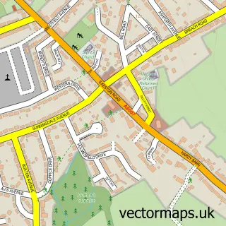
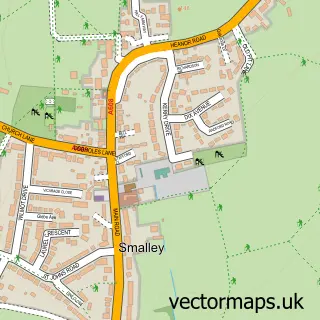
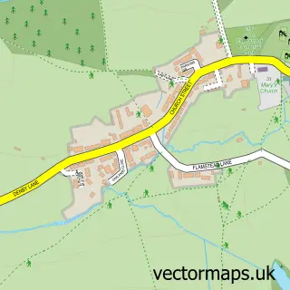
This Heanor street map is a detailed vector street map covering a 750m x 750m area. Select a larger area to create and download your own vector street map of Heanor.
The 750-metre map sample for Heanor covers 532 mapped buildings and approximately 27.9 km of road detail, of which 52 named roads are named. The immediate area includes 1 school, 3 GP surgeries within 2 miles, 11 pubs and 3 MOT stations, with 14 within 2 miles. The wider area around Heanor features 21 food and drink venues. To create a larger or custom map of Heanor, the map builder lets you define your own coverage area and download editable SVG, PDF and PNG files.
Create a larger editable map of Heanor
Choose any area you need and generate a high-quality vector map instantly. Perfect for print, planning, design, business and personal use.

This Heanor street map in Derbyshire is available as downloadable SVG, PDF and PNG map files, or as a printed map for planning, business, display, education, local information and design work. You can also create a larger custom map area using the map selector.
What this Heanor map sample shows
Heanor lies within Heanor And Loscoe Cp parish, part of Heanor West ward in the Amber Valley District (B) local authority area. The postcode geography for this area includes the DE postcode area, the DE75 postcode district and the DE75 7 postcode sector. Residents fall under the Nhs Derby And Derbyshire Integrated Care Board for NHS services.
Local features near Heanor
Within 2 milesAmenities and services in and around Heanor.
Administrative and postcode information for Heanor
Heanor lies within Heanor And Loscoe Cp parish, part of Heanor West ward in the Amber Valley District (B) local authority area. The postcode geography for this area includes the DE postcode area, the DE75 postcode district and the DE75 7 postcode sector. Residents fall under the Nhs Derby And Derbyshire Integrated Care Board for NHS services.
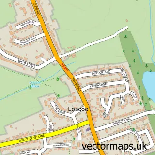
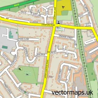
Nearby street map samples around Heanor

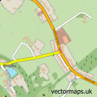
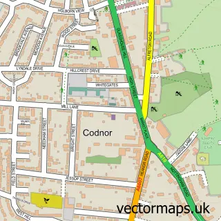
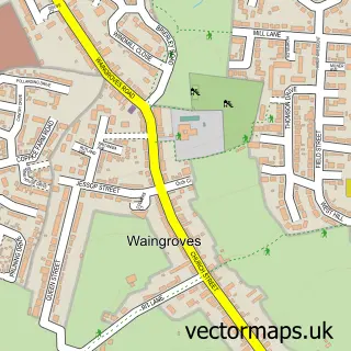
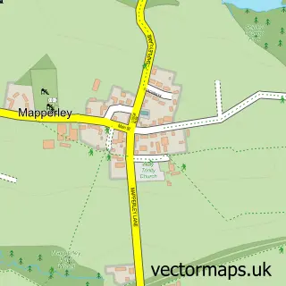
More street maps in Derbyshire
750 metre map area coverage
Boundary, postcode and point of interest information for the 750m x 750m rectangle centred on this sample map.
Boundaries containing map centre
Constituency: Amber Valley Co Const
County: Derbyshire County
District: Amber Valley District (B)
Icb: NHS Derby and Derbyshire ICB
Parish: Heanor and Loscoe CP
Police Force: derbyshire
Postcode District: DE75
Postcode Sector: DE75 7
Ward: Heanor West & Loscoe Ward
Nearby boundaries intersecting sample
No additional intersecting boundaries found.
Postcode coverage
POI category counts
Hair Salon: 11
Pub: 11
Beauty Salon: 8
Real Estate Agent: 7
Gym: 6
Pet Store: 6
Barber: 5
Cafe: 5
Charity Organization: 5
Chinese Restaurant: 5
Sample points of interest
- Baileys Bookkeeping Solutions
- John Hamilton
- Blue Skyz Healing C I C
- Sally Hellewell
- St. Lawrence's Church
- Mr Vacuum Cleaner
- Crafty Molls
- Logo the Other
- Sue's Handcrafted Card Supplies
- Foremost Entertainments Limited
- The Captains Cabin Movie collectables and cosplay
- Bay Leaf Indian Restaurant.
Create a larger editable map of Heanor
This sample shows only a 750 metre area. To create a larger map of Heanor, use our map builder to choose your own coverage area, add titles and download editable SVG, PDF and PNG files.
Create a custom map of Heanor