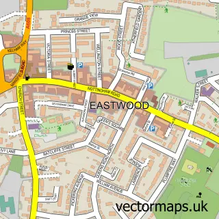
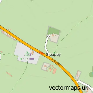
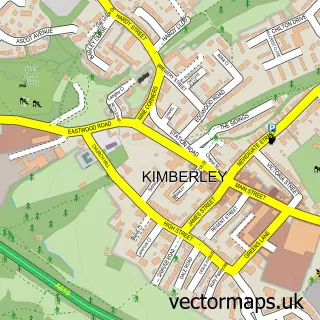
This Giltbrook street map is a detailed vector street map covering a 750m x 750m area. Select a larger area to create and download your own vector street map of Giltbrook.
The 750-metre map sample for Giltbrook covers 507 mapped buildings and approximately 25.6 km of road detail, of which 42 named roads are named. The immediate area includes 1 GP surgery, with 4 within 2 miles, 2 pubs and 12 MOT stations within 2 miles. The wider area around Giltbrook features 1 tourism point of interest and 6 food and drink venues. To create a larger or custom map of Giltbrook, the map builder lets you define your own coverage area and download editable SVG, PDF and PNG files.
Create a larger editable map of Giltbrook
Choose any area you need and generate a high-quality vector map instantly. Perfect for print, planning, design, business and personal use.

This Giltbrook street map in Nottinghamshire is available as downloadable SVG, PDF and PNG map files, or as a printed map for planning, business, display, education, local information and design work. You can also create a larger custom map area using the map selector.
What this Giltbrook map sample shows
Giltbrook lies within Eastwood Cp parish, part of Eastwood Hilltop ward in the Broxtowe District (B) local authority area. The postcode geography for this area includes the NG postcode area, the NG16 postcode district and the NG16 3 postcode sector. Residents fall under the Nhs Nottingham And Nottinghamshire Integrated Care Board for NHS services.
Local features near Giltbrook
Within 2 milesAmenities and services in and around Giltbrook.
Administrative and postcode information for Giltbrook
The local authority covering Giltbrook is Broxtowe District (B), within the county of Nottinghamshire. The settlement lies within Eastwood Hilltop ward and Eastwood Cp civil parish. The NG16 postcode district and NG16 3 postcode sector serve the immediate area. NHS provision in the area is delivered through Nottingham University Hospitals Nhs Trust.
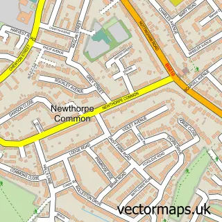
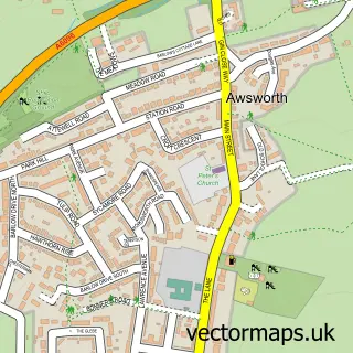
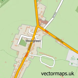
Nearby street map samples around Giltbrook


More street maps in Nottinghamshire
750 metre map area coverage
Boundary, postcode and point of interest information for the 750m x 750m rectangle centred on this sample map.
Boundaries containing map centre
Constituency: Broxtowe Co Const
County: Nottinghamshire County
District: Broxtowe District (B)
Icb: NHS Nottingham and Nottinghamshire ICB
Parish: Greasley CP
Police Force: nottinghamshire
Postcode District: NG16
Postcode Sector: NG16 2
Ward: Greasley Ward
Nearby boundaries intersecting sample
Parish: Awsworth CP
Ward: Awsworth, Cossall & Trowell Ward
Postcode coverage
POI category counts
Coffee Shop: 3
Beauty And Spa: 2
Carpet Store: 2
Convenience Store: 2
Dance School: 2
Furniture Store: 2
Massage Therapy: 2
Pest Control Service: 2
Professional Services: 2
Pub: 2
Sample points of interest
- Mr & Mrs Wilks
- Frankie & Benny's
- Escape Family Entertainment Centre
- Giltbrook Care Home
- Bowers Hairdressing
- L.N.E Beautique and Foot Health Clinic.
- Costa Coffee
- Starbucks UK
- Rices Carpets Ltd
- Walker Carpets Ltd. Nottingham
- Scruffs
- Nottingham Next
Create a larger editable map of Giltbrook
This sample shows only a 750 metre area. To create a larger map of Giltbrook, use our map builder to choose your own coverage area, add titles and download editable SVG, PDF and PNG files.
Create a custom map of Giltbrook