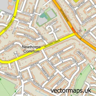
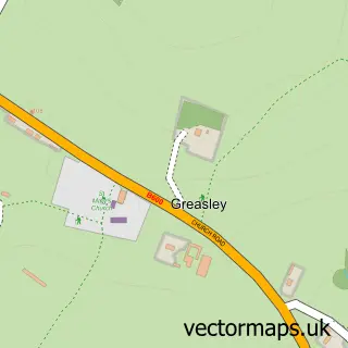
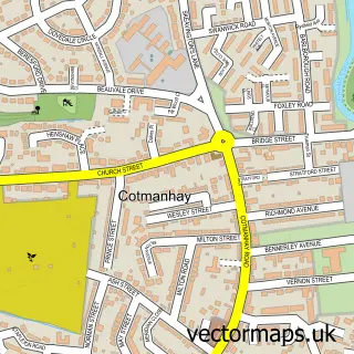
This Eastwood street map is a detailed vector street map covering a 750m x 750m area. Select a larger area to create and download your own vector street map of Eastwood.
The 750-metre map sample for Eastwood covers 467 mapped buildings and approximately 27.0 km of road detail, of which 41 named roads are named. The immediate area includes 2 schools, 1 GP surgery, with 5 within 2 miles, 9 pubs and 1 MOT station, with 11 within 2 miles. The wider area around Eastwood features 3 tourism points of interest and 21 food and drink venues. To create a larger or custom map of Eastwood, the map builder lets you define your own coverage area and download editable SVG, PDF and PNG files.
Create a larger editable map of Eastwood
Choose any area you need and generate a high-quality vector map instantly. Perfect for print, planning, design, business and personal use.

This Eastwood street map in Nottinghamshire is available as downloadable SVG, PDF and PNG map files, or as a printed map for planning, business, display, education, local information and design work. You can also create a larger custom map area using the map selector.
What this Eastwood map sample shows
Eastwood lies within Eastwood Cp parish, part of Eastwood Hilltop ward in the Broxtowe District (B) local authority area. The postcode geography for this area includes the NG postcode area, the NG16 postcode district and the NG16 3 postcode sector. Residents fall under the Nhs Nottingham And Nottinghamshire Integrated Care Board for NHS services.
Local features near Eastwood
Within 2 milesAmenities and services in and around Eastwood.
Administrative and postcode information for Eastwood
The local authority covering Eastwood is Broxtowe District (B), within the county of Nottinghamshire. The settlement lies within Eastwood Hilltop ward and Eastwood Cp civil parish. The NG16 postcode district and NG16 3 postcode sector serve the immediate area. NHS provision in the area is delivered through Nottingham University Hospitals Nhs Trust.
Nearby street map samples around Eastwood

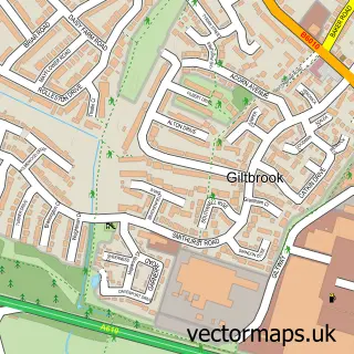
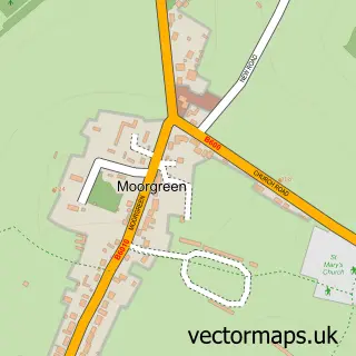
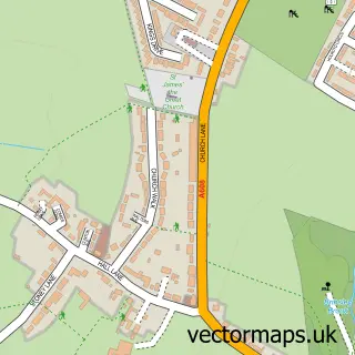
More street maps in Nottinghamshire
750 metre map area coverage
Boundary, postcode and point of interest information for the 750m x 750m rectangle centred on this sample map.
Boundaries containing map centre
Constituency: Broxtowe Co Const
County: Nottinghamshire County
District: Broxtowe District (B)
Icb: NHS Nottingham and Nottinghamshire ICB
Parish: Eastwood CP
Police Force: nottinghamshire
Postcode District: NG16
Postcode Sector: NG16 3
Ward: Eastwood St. Mary's Ward
Nearby boundaries intersecting sample
Ward: Eastwood Hall Ward, Eastwood Hilltop Ward
Postcode coverage
POI category counts
Beauty Salon: 11
Flowers And Gifts Shop: 9
Pub: 9
Cafe: 7
Fast Food Restaurant: 6
Hair Salon: 6
Real Estate Agent: 6
Barber: 5
E Cigarette Store: 5
Pharmacy: 5
Sample points of interest
- Pells Chartered Accountants
- Connexions
- John Naylor H P D
- The Parish Church of St. Mary, Eastwood
- Salvation Army
- Mr Vacuum Cleaner
- The Parnham Gallery
- The Wood GalleryAnd More
- Emberwood Home
- Kitty's Handmade
- Not Just Crafty
- Willow Tree Crafts
Create a larger editable map of Eastwood
This sample shows only a 750 metre area. To create a larger map of Eastwood, use our map builder to choose your own coverage area, add titles and download editable SVG, PDF and PNG files.
Create a custom map of Eastwood