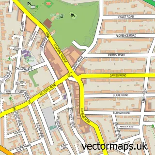
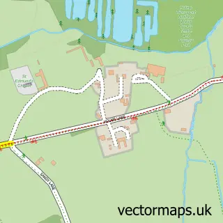
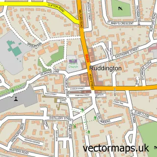
This Nottingham street map is a detailed vector street map covering a 750m x 750m area. Select a larger area to create and download your own vector street map of Nottingham.
The 750-metre map sample for Nottingham covers 119 mapped buildings and approximately 38.0 km of road detail, of which 84 named roads are named. The immediate area includes 2 schools, 3 railway stations, 1 GP surgery, with 25 within 2 miles and 57 pubs among other local services. The wider area around Nottingham features 25 tourism points of interest, 170 food and drink venues and 26 hotels. To create a larger or custom map of Nottingham, the map builder lets you define your own coverage area and download editable SVG, PDF and PNG files.
Create a larger editable map of Nottingham
Choose any area you need and generate a high-quality vector map instantly. Perfect for print, planning, design, business and personal use.

This Nottingham street map in Nottinghamshire is available as downloadable SVG, PDF and PNG map files, or as a printed map for planning, business, display, education, local information and design work. You can also create a larger custom map area using the map selector.
What this Nottingham map sample shows
Nottingham lies within City Of Nottingham (B) parish, part of Radford ward in the City Of Nottingham (B) local authority area. The postcode geography for this area includes the NG postcode area, the NG7 postcode district and the NG7 2 postcode sector. Residents fall under the Nhs Nottingham And Nottinghamshire Integrated Care Board for NHS services.
Local features near Nottingham
Within 2 milesAmenities and services in and around Nottingham.
Administrative and postcode information for Nottingham
The local authority covering Nottingham is City Of Nottingham (B), within the county of Nottinghamshire. The settlement lies within Radford ward and City Of Nottingham (B) civil parish. The NG7 postcode district and NG7 2 postcode sector serve the immediate area. NHS provision in the area is delivered through Nottingham University Hospitals Nhs Trust.
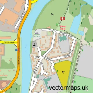
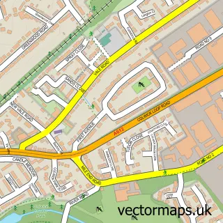
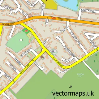
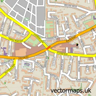
Nearby street map samples around Nottingham
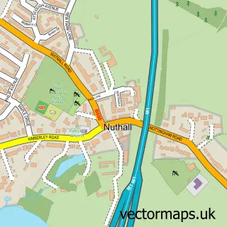
More street maps in Nottinghamshire
750 metre map area coverage
Boundary, postcode and point of interest information for the 750m x 750m rectangle centred on this sample map.
Boundaries containing map centre
Constituency: Nottingham East Boro Const
District: City of Nottingham (B)
Icb: NHS Nottingham and Nottinghamshire ICB
Police Force: nottinghamshire
Postcode District: NG1
Postcode Sector: NG1 2
Ward: Castle Ward
Nearby boundaries intersecting sample
Postcode Sector: NG1 1, NG1 3, NG1 4, NG1 5, NG1 6, NG1 7
Ward: Hyson Green & Arboretum Ward, St. Ann's Ward
Postcode coverage
POI category counts
Clothing Store: 76
Employment Agencies: 74
Bar: 66
Pub: 57
Professional Services: 56
Jewelry Store: 54
Restaurant: 45
Hair Salon: 41
Dance Club: 40
Coffee Shop: 37
Sample points of interest
- BPAS Nottingham City
- Nottingham Recovery Network
- Fortis Student Living - Minerva House
- ID Apartments
- NTU Student Accommodation
- Stanley House Student Accommodation
- Nottingham Accountancy
- PKF Smith Cooper | Accountants Nottingham
- Smith Cooper System Partners
- NOVA Acoustics Ltd. (Sound Testing & Acoustic Consultants)
- Alex Thomas Nottingham Personal Trainer
- Acu Spirit Healing Centre
Create a larger editable map of Nottingham
This sample shows only a 750 metre area. To create a larger map of Nottingham, use our map builder to choose your own coverage area, add titles and download editable SVG, PDF and PNG files.
Create a custom map of Nottingham