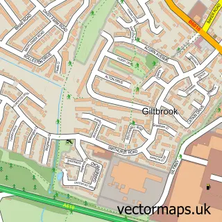
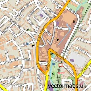
This Nuthall street map is a detailed vector street map covering a 750m x 750m area. Select a larger area to create and download your own vector street map of Nuthall.
The 750-metre map sample for Nuthall covers 225 mapped buildings and approximately 18.5 km of road detail, of which 14 named roads are named. The immediate area includes 6 GP surgeries within 2 miles, 3 pubs and 17 MOT stations within 2 miles. The wider area around Nuthall features 2 tourism points of interest and 3 food and drink venues. To create a larger or custom map of Nuthall, the map builder lets you define your own coverage area and download editable SVG, PDF and PNG files.
Create a larger editable map of Nuthall
Choose any area you need and generate a high-quality vector map instantly. Perfect for print, planning, design, business and personal use.

This Nuthall street map in Nottinghamshire is available as downloadable SVG, PDF and PNG map files, or as a printed map for planning, business, display, education, local information and design work. You can also create a larger custom map area using the map selector.
What this Nuthall map sample shows
Nuthall lies within Nuthall Cp parish, part of Watnall & Nuthall West ward in the Broxtowe District (B) local authority area. The postcode geography for this area includes the NG postcode area, the NG16 postcode district and the NG16 1 postcode sector. Residents fall under the Nhs Nottingham And Nottinghamshire Integrated Care Board for NHS services.
Local features near Nuthall
Within 2 milesAmenities and services in and around Nuthall.
Administrative and postcode information for Nuthall
Nuthall lies within Nuthall Cp parish, part of Watnall & Nuthall West ward in the Broxtowe District (B) local authority area. The postcode geography for this area includes the NG postcode area, the NG16 postcode district and the NG16 1 postcode sector. Residents fall under the Nhs Nottingham And Nottinghamshire Integrated Care Board for NHS services.
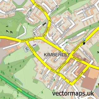
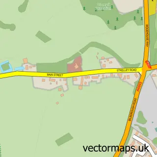
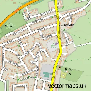
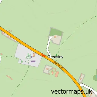
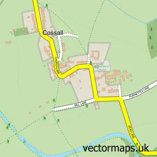
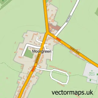
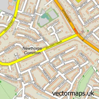
Nearby street map samples around Nuthall


More street maps in Nottinghamshire
750 metre map area coverage
Boundary, postcode and point of interest information for the 750m x 750m rectangle centred on this sample map.
Boundaries containing map centre
Constituency: Nottingham North and Kimberley Boro Const
County: Nottinghamshire County
District: Broxtowe District (B)
Icb: NHS Nottingham and Nottinghamshire ICB
Parish: Nuthall CP
Police Force: nottinghamshire
Postcode District: NG16
Postcode Sector: NG16 1
Ward: Watnall & Nuthall West Ward
Nearby boundaries intersecting sample
Postcode District: NG6
Postcode Sector: NG6 7
Ward: Nuthall East & Strelley Ward
Postcode coverage
POI category counts
Pub: 3
Anglican Church: 2
Automotive Repair: 2
Martial Arts Club: 2
Park: 2
Youth Organizations: 2
Auto Glass Service: 1
Automotive Parts And Accessories: 1
Beauty Salon: 1
Church Cathedral: 1
Sample points of interest
- St Patrick (Nuthall)
- St Patrick's Church
- BW Windscreens-Nottingham
- County Battery Services
- LWL Automotive Ltd
- Nuthall Auto Services
- Zen Hair Studio
- Nuthall Methodist Church
- Hearson Holidays
- Nuthall Temple Centre
- Springfield Irish Horses
- A. Brown Plumbing and Heating
Create a larger editable map of Nuthall
This sample shows only a 750 metre area. To create a larger map of Nuthall, use our map builder to choose your own coverage area, add titles and download editable SVG, PDF and PNG files.
Create a custom map of Nuthall