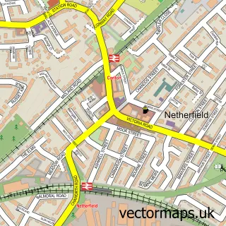
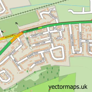
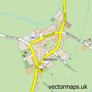
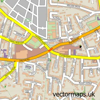
This Colwick street map is a detailed vector street map covering a 750m x 750m area. Select a larger area to create and download your own vector street map of Colwick.
The 750-metre map sample for Colwick covers 455 mapped buildings and approximately 26.5 km of road detail, of which 35 named roads are named. The immediate area includes 1 school, 9 GP surgeries within 2 miles and 2 MOT stations, with 31 within 2 miles. The wider area around Colwick features 2 tourism points of interest and 1 campsite within 2 miles. To create a larger or custom map of Colwick, the map builder lets you define your own coverage area and download editable SVG, PDF and PNG files.
Create a larger editable map of Colwick
Choose any area you need and generate a high-quality vector map instantly. Perfect for print, planning, design, business and personal use.

This Colwick street map in Nottinghamshire is available as downloadable SVG, PDF and PNG map files, or as a printed map for planning, business, display, education, local information and design work. You can also create a larger custom map area using the map selector.
What this Colwick map sample shows
Colwick lies within Nottinghamshire County parish, part of Gedling ward in the Gedling District (B) local authority area. The postcode geography for this area includes the NG postcode area, the NG4 postcode district and the NG4 3 postcode sector. Residents fall under the Nhs Nottingham And Nottinghamshire Integrated Care Board for NHS services.
Local features near Colwick
Within 2 milesAmenities and services in and around Colwick.
Administrative and postcode information for Colwick
The local authority covering Colwick is Gedling District (B), within the county of Nottinghamshire. The settlement lies within Gedling ward and Nottinghamshire County civil parish. The NG4 postcode district and NG4 3 postcode sector serve the immediate area. NHS provision in the area is delivered through Nottingham University Hospitals Nhs Trust.
Nearby street map samples around Colwick

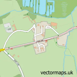
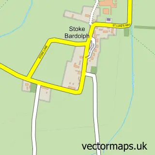
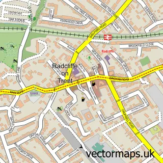
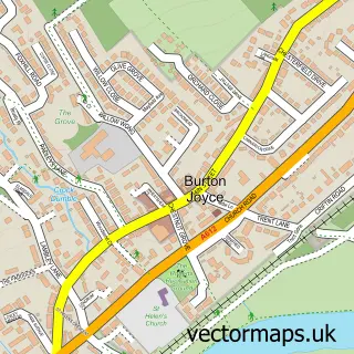
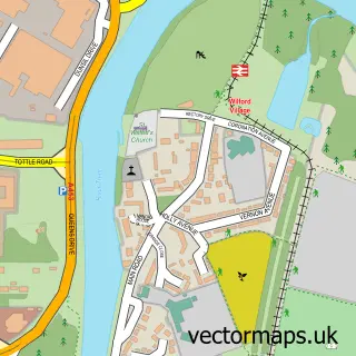
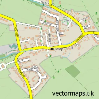
More street maps in Nottinghamshire
750 metre map area coverage
Boundary, postcode and point of interest information for the 750m x 750m rectangle centred on this sample map.
Boundaries containing map centre
Constituency: Gedling Co Const
County: Nottinghamshire County
District: Gedling District (B)
Icb: NHS Nottingham and Nottinghamshire ICB
Parish: Colwick CP
Police Force: nottinghamshire
Postcode District: NG4
Postcode Sector: NG4 2
Ward: Colwick Ward
Nearby boundaries intersecting sample
Constituency: Nottingham East Boro Const
District: City of Nottingham (B)
Postcode District: NG2, NG3
Postcode Sector: NG2 4, NG3 7, NG4 1
Ward: Carlton Ward, Dales Ward
Postcode coverage
POI category counts
Building Supply Store: 6
Automotive Repair: 5
Driving School: 5
Professional Services: 4
Contractor: 3
Engineering Services: 3
Bakery: 2
Dance School: 2
Elementary School: 2
Gym: 2
Sample points of interest
- Colwick Racecourse
- Colwick: St John the Baptist
- Same Day Appliance Repairs
- Wall to Wall
- Starman's Rolls Royce and Bentley Specialists
- Archer's Of Colwick
- Cars Plant Commercials
- Motorservice Ltd
- Paint Monkeys
- QuickserV
- Peggy Wilkins Textile Fashions
- Copper Top Cakes
Create a larger editable map of Colwick
This sample shows only a 750 metre area. To create a larger map of Colwick, use our map builder to choose your own coverage area, add titles and download editable SVG, PDF and PNG files.
Create a custom map of Colwick