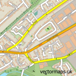
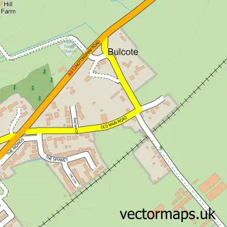
This Carlton street map is a detailed vector street map covering a 750m x 750m area. Select a larger area to create and download your own vector street map of Carlton.
The 750-metre map sample for Carlton covers 575 mapped buildings and approximately 30.8 km of road detail, of which 50 named roads are named. The immediate area includes 1 GP surgery, with 9 within 2 miles, 4 pubs and 28 MOT stations within 2 miles. The wider area around Carlton features 6 food and drink venues and 1 campsite within 2 miles. To create a larger or custom map of Carlton, the map builder lets you define your own coverage area and download editable SVG, PDF and PNG files.
Create a larger editable map of Carlton
Choose any area you need and generate a high-quality vector map instantly. Perfect for print, planning, design, business and personal use.

This Carlton street map in Nottinghamshire is available as downloadable SVG, PDF and PNG map files, or as a printed map for planning, business, display, education, local information and design work. You can also create a larger custom map area using the map selector.
What this Carlton map sample shows
Carlton lies within Nottinghamshire County parish, part of Gedling ward in the Gedling District (B) local authority area. The postcode geography for this area includes the NG postcode area, the NG4 postcode district and the NG4 3 postcode sector. Residents fall under the Nhs Nottingham And Nottinghamshire Integrated Care Board for NHS services.
Local features near Carlton
Within 2 milesAmenities and services in and around Carlton.
Administrative and postcode information for Carlton
The local authority covering Carlton is Gedling District (B), within the county of Nottinghamshire. The settlement lies within Gedling ward and Nottinghamshire County civil parish. The NG4 postcode district and NG4 3 postcode sector serve the immediate area. NHS provision in the area is delivered through Nottingham University Hospitals Nhs Trust.
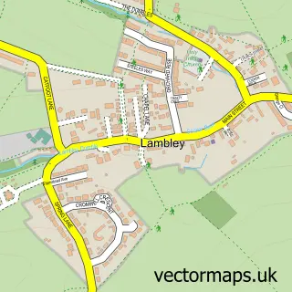
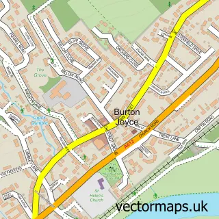
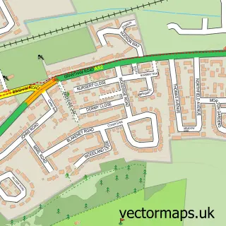
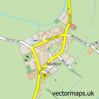
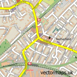
Nearby street map samples around Carlton

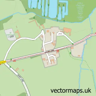
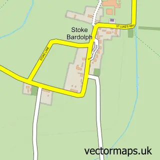
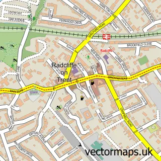
More street maps in Nottinghamshire
750 metre map area coverage
Boundary, postcode and point of interest information for the 750m x 750m rectangle centred on this sample map.
Boundaries containing map centre
Constituency: Gedling Co Const
County: Nottinghamshire County
District: Gedling District (B)
Icb: NHS Nottingham and Nottinghamshire ICB
Police Force: nottinghamshire
Postcode District: NG4
Postcode Sector: NG4 3
Nearby boundaries intersecting sample
Postcode Sector: NG4 1, NG4 2
Ward: Carlton Ward, Cavendish Ward, Gedling Ward, Netherfield Ward
Postcode coverage
POI category counts
Hair Salon: 4
Pub: 4
Automotive Repair: 3
Fast Food Restaurant: 3
Rental Kiosks: 3
Retail: 3
Anglican Church: 2
Armed Forces Branch: 2
Bar: 2
Beauty Salon: 2
Sample points of interest
- St Paul's
- St Paul's Church
- Middlebeck Interiors
- A Squadron Sherwood Rangers Yeomanry
- Army Reserve Centre
- Firefly Framing
- The Sewing Box
- ATM (Post Office)
- Auction Estates
- Brookes Garage
- weONLYmot
- weonlymot.co.uk
Create a larger editable map of Carlton
This sample shows only a 750 metre area. To create a larger map of Carlton, use our map builder to choose your own coverage area, add titles and download editable SVG, PDF and PNG files.
Create a custom map of Carlton