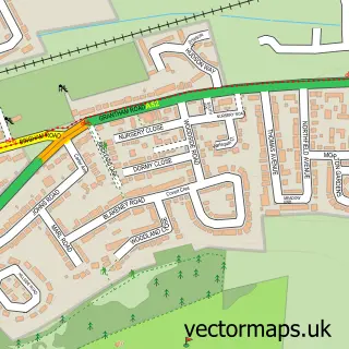
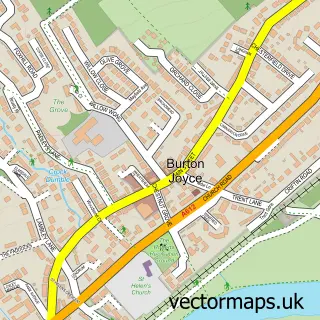
This Holme Pierrepont street map is a detailed vector street map covering a 750m x 750m area. Select a larger area to create and download your own vector street map of Holme Pierrepont.
The 750-metre map sample for Holme Pierrepont covers 28 mapped buildings and approximately 8.6 km of road detail, of which 3 named roads are named. The immediate area includes 5 GP surgeries within 2 miles, 1 pub and 15 MOT stations within 2 miles. The wider area around Holme Pierrepont features 1 food and drink venue and 1 campsite within 2 miles. To create a larger or custom map of Holme Pierrepont, the map builder lets you define your own coverage area and download editable SVG, PDF and PNG files.
Create a larger editable map of Holme Pierrepont
Choose any area you need and generate a high-quality vector map instantly. Perfect for print, planning, design, business and personal use.

This Holme Pierrepont street map in Nottinghamshire is available as downloadable SVG, PDF and PNG map files, or as a printed map for planning, business, display, education, local information and design work. You can also create a larger custom map area using the map selector.
What this Holme Pierrepont map sample shows
Holme Pierrepont lies within Holme Pierrepont Cp parish, part of Gamston North ward in the Rushcliffe District (B) local authority area. The postcode geography for this area includes the NG postcode area, the NG12 postcode district and the NG12 2 postcode sector. Residents fall under the Nhs Nottingham And Nottinghamshire Integrated Care Board for NHS services.
Local features near Holme Pierrepont
Within 2 milesAmenities and services in and around Holme Pierrepont.
Administrative and postcode information for Holme Pierrepont
Holme Pierrepont lies within Holme Pierrepont Cp parish, part of Gamston North ward in the Rushcliffe District (B) local authority area. The postcode geography for this area includes the NG postcode area, the NG12 postcode district and the NG12 2 postcode sector. Residents fall under the Nhs Nottingham And Nottinghamshire Integrated Care Board for NHS services.
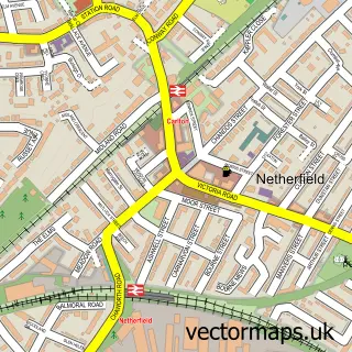
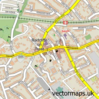
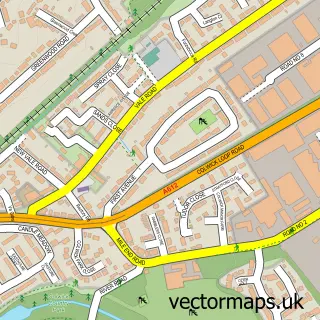
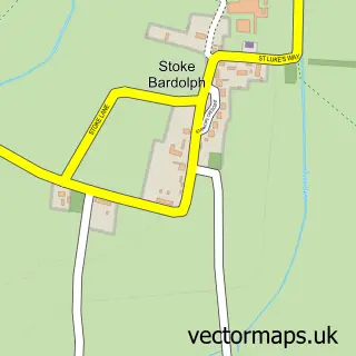
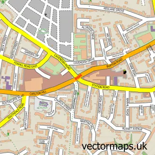
Nearby street map samples around Holme Pierrepont

More street maps in Nottinghamshire
750 metre map area coverage
Boundary, postcode and point of interest information for the 750m x 750m rectangle centred on this sample map.
Boundaries containing map centre
Constituency: Rushcliffe Co Const
County: Nottinghamshire County
District: Rushcliffe District (B)
Icb: NHS Nottingham and Nottinghamshire ICB
Parish: Holme Pierrepont CP
Police Force: nottinghamshire
Postcode District: NG12
Postcode Sector: NG12 2
Ward: Gamston Ward
Nearby boundaries intersecting sample
Parish: Radcliffe on Trent CP
Ward: Radcliffe on Trent Ward
Postcode coverage
POI category counts
Active Life: 1
Beauty And Spa: 1
Building Supply Store: 1
Church Cathedral: 1
Event Planning: 1
Fishing Club: 1
Pub: 1
Sample points of interest
- Fort Pierrepont
- Fine Cut Sugarcraft Products
- M & R Perkins
- St Edmund's Church
- Holme Pierrepont Hall
- Hackett Lakes
- The Wheatsheaf Inn, Burton Joyce
Create a larger editable map of Holme Pierrepont
This sample shows only a 750 metre area. To create a larger map of Holme Pierrepont, use our map builder to choose your own coverage area, add titles and download editable SVG, PDF and PNG files.
Create a custom map of Holme Pierrepont