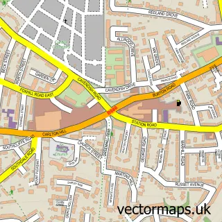
This Lambley street map is a detailed vector street map covering a 750m x 750m area. Select a larger area to create and download your own vector street map of Lambley.
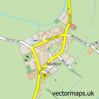
The 750-metre map sample for Lambley covers 247 mapped buildings and approximately 18.6 km of road detail, of which 16 named roads are named. The immediate area includes 1 school, 1 GP surgery within 2 miles, 4 pubs and 2 MOT stations within 2 miles. The wider area around Lambley features 5 food and drink venues and 1 hotel. To create a larger or custom map of Lambley, the map builder lets you define your own coverage area and download editable SVG, PDF and PNG files.
Create a larger editable map of Lambley
Choose any area you need and generate a high-quality vector map instantly. Perfect for print, planning, design, business and personal use.

This Lambley street map in Nottinghamshire is available as downloadable SVG, PDF and PNG map files, or as a printed map for planning, business, display, education, local information and design work. You can also create a larger custom map area using the map selector.
What this Lambley map sample shows
Lambley lies within Lambley Cp parish, part of Dumbles ward in the Gedling District (B) local authority area. The postcode geography for this area includes the NG postcode area, the NG4 postcode district and the NG4 4 postcode sector. Residents fall under the Nhs Nottingham And Nottinghamshire Integrated Care Board for NHS services.
Local features near Lambley
Within 2 milesAmenities and services in and around Lambley.
Administrative and postcode information for Lambley
Lambley lies within Lambley Cp parish, part of Dumbles ward in the Gedling District (B) local authority area. The postcode geography for this area includes the NG postcode area, the NG4 postcode district and the NG4 4 postcode sector. Residents fall under the Nhs Nottingham And Nottinghamshire Integrated Care Board for NHS services.
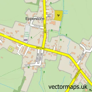
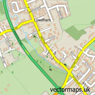
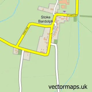
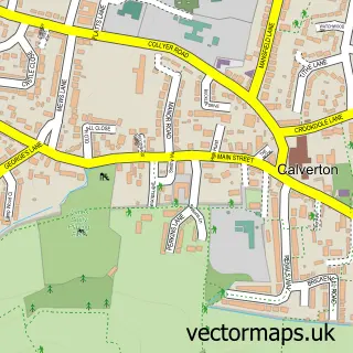
Nearby street map samples around Lambley

More street maps in Nottinghamshire
750 metre map area coverage
Boundary, postcode and point of interest information for the 750m x 750m rectangle centred on this sample map.
Boundaries containing map centre
Constituency: Gedling Co Const
County: Nottinghamshire County
District: Gedling District (B)
Icb: NHS Nottingham and Nottinghamshire ICB
Parish: Lambley CP
Police Force: nottinghamshire
Postcode District: NG4
Postcode Sector: NG4 4
Ward: Dumbles Ward
Nearby boundaries intersecting sample
No additional intersecting boundaries found.
Postcode coverage
POI category counts
Pub: 4
Professional Services: 2
Accountant: 1
Architect: 1
Architectural Designer: 1
Beauty And Spa: 1
British Restaurant: 1
Business Management Services: 1
Church Cathedral: 1
Cleaning Services: 1
Sample points of interest
- K J Eaton
- PD Architecture
- P.D. Architecture
- Semi Permanent Makeup Nottingham
- Sonnets Kitchen at The Woodlark Inn
- Swapmeet-Models.Co.Uk
- Holy Trinity Church
- Ortop
- Lambley Day Nursery & Pre-School
- Lambley Primary School
- Lambley Motors
- Njoyhealth in Lambley
Create a larger editable map of Lambley
This sample shows only a 750 metre area. To create a larger map of Lambley, use our map builder to choose your own coverage area, add titles and download editable SVG, PDF and PNG files.
Create a custom map of Lambley