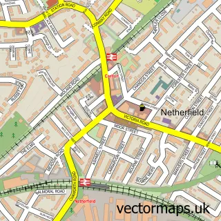
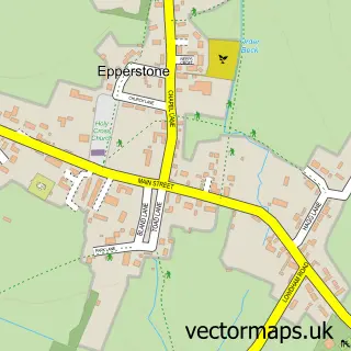
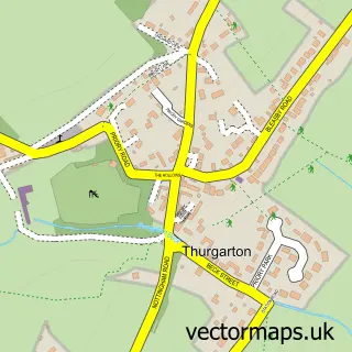
This Lowdham street map is a detailed vector street map covering a 750m x 750m area. Select a larger area to create and download your own vector street map of Lowdham.
The 750-metre map sample for Lowdham covers 373 mapped buildings and approximately 22.0 km of road detail, of which 27 named roads are named. The immediate area includes 1 school, 6 pubs and 2 MOT stations within 2 miles. The wider area around Lowdham features 7 food and drink venues and 1 hotel. To create a larger or custom map of Lowdham, the map builder lets you define your own coverage area and download editable SVG, PDF and PNG files.
Create a larger editable map of Lowdham
Choose any area you need and generate a high-quality vector map instantly. Perfect for print, planning, design, business and personal use.

This Lowdham street map in Nottinghamshire is available as downloadable SVG, PDF and PNG map files, or as a printed map for planning, business, display, education, local information and design work. You can also create a larger custom map area using the map selector.
What this Lowdham map sample shows
Lowdham lies within Lowdham Cp parish, part of Lowdham ward in the Newark And Sherwood District local authority area. The postcode geography for this area includes the NG postcode area, the NG14 postcode district and the NG14 7 postcode sector. Residents fall under the Nhs Nottingham And Nottinghamshire Integrated Care Board for NHS services.
Local features near Lowdham
Within 2 milesAmenities and services in and around Lowdham.
Administrative and postcode information for Lowdham
The local authority covering Lowdham is Newark And Sherwood District, within the county of Nottinghamshire. The settlement lies within Lowdham ward and Lowdham Cp civil parish. The NG14 postcode district and NG14 7 postcode sector serve the immediate area. NHS provision in the area is delivered through Nottingham University Hospitals Nhs Trust.
Nearby street map samples around Lowdham

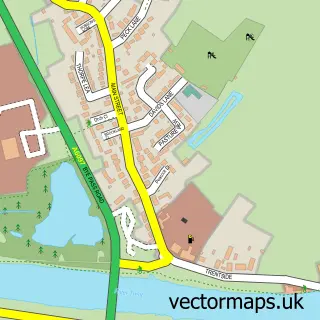
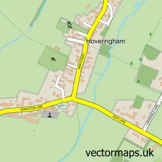
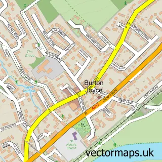
More street maps in Nottinghamshire
750 metre map area coverage
Boundary, postcode and point of interest information for the 750m x 750m rectangle centred on this sample map.
Boundaries containing map centre
Constituency: Sherwood Forest Co Const
County: Nottinghamshire County
District: Newark and Sherwood District
Icb: NHS Nottingham and Nottinghamshire ICB
Parish: Lowdham CP
Police Force: nottinghamshire
Postcode District: NG14
Postcode Sector: NG14 7
Ward: Lowdham Ward
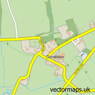
Nearby boundaries intersecting sample
Parish: Gonalston CP
Ward: Dover Beck Ward
Postcode coverage
POI category counts
Pub: 6
Beauty Salon: 3
Interior Design: 3
Building Supply Store: 2
Contractor: 2
Convenience Store: 2
Furniture Store: 2
Hair Salon: 2
Land Surveying: 2
Library: 2
Sample points of interest
- The Cooperative Food Lowdham, Lowdham
- HFM Barbers Lowdham
- Total Image
- BLOOM
- Hair Emporium
- Steele Hair Design | Nottingham
- Book Case
- The Book Case
- Heritage Preservation
- Hookway Design
- Neelam Balti
- Lowdham Village Hall
Create a larger editable map of Lowdham
This sample shows only a 750 metre area. To create a larger map of Lowdham, use our map builder to choose your own coverage area, add titles and download editable SVG, PDF and PNG files.
Create a custom map of Lowdham