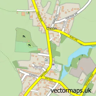
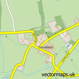
This Woodborough street map is a detailed vector street map covering a 750m x 750m area. Select a larger area to create and download your own vector street map of Woodborough.
The 750-metre map sample for Woodborough covers 192 mapped buildings and approximately 12.2 km of road detail, of which 15 named roads are named. The immediate area includes 1 GP surgery within 2 miles, 3 pubs and 4 MOT stations within 2 miles. The wider area around Woodborough features 2 tourism points of interest, 3 food and drink venues and 1 hotel. To create a larger or custom map of Woodborough, the map builder lets you define your own coverage area and download editable SVG, PDF and PNG files.
Create a larger editable map of Woodborough
Choose any area you need and generate a high-quality vector map instantly. Perfect for print, planning, design, business and personal use.

This Woodborough street map in Nottinghamshire is available as downloadable SVG, PDF and PNG map files, or as a printed map for planning, business, display, education, local information and design work. You can also create a larger custom map area using the map selector.
What this Woodborough map sample shows
Woodborough lies within Woodborough Cp parish, part of Dumbles ward in the Gedling District (B) local authority area. The postcode geography for this area includes the NG postcode area, the NG14 postcode district and the NG14 6 postcode sector. Residents fall under the Nhs Nottingham And Nottinghamshire Integrated Care Board for NHS services.
Local features near Woodborough
Within 2 milesAmenities and services in and around Woodborough.
Administrative and postcode information for Woodborough
The local authority covering Woodborough is Gedling District (B), within the county of Nottinghamshire. The settlement lies within Dumbles ward and Woodborough Cp civil parish. The NG14 postcode district and NG14 6 postcode sector serve the immediate area. NHS provision in the area is delivered through Nottingham University Hospitals Nhs Trust.
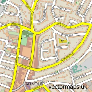
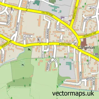
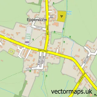
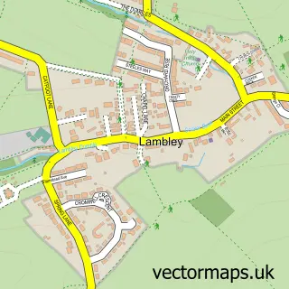
Nearby street map samples around Woodborough

More street maps in Nottinghamshire
750 metre map area coverage
Boundary, postcode and point of interest information for the 750m x 750m rectangle centred on this sample map.
Boundaries containing map centre
Constituency: Gedling Co Const
County: Nottinghamshire County
District: Gedling District (B)
Icb: NHS Nottingham and Nottinghamshire ICB
Parish: Woodborough CP
Police Force: nottinghamshire
Postcode District: NG14
Postcode Sector: NG14 6
Ward: Dumbles Ward
Nearby boundaries intersecting sample
No additional intersecting boundaries found.
Postcode coverage
POI category counts
Pub: 3
Gym: 2
Telecommunications: 2
Telecommunications Company: 2
Anglican Church: 1
Automotive Repair: 1
Building Supply Store: 1
Business Management Services: 1
Church Cathedral: 1
Community Center: 1
Sample points of interest
- St Swithun, Woodborough
- WGS Nottingham
- Classic Curtains
- Plenum Management Consultants
- St Swithun's Church
- Woodborough Institute
- Woods Foundation School
- Oak Tree Alpacas
- Four Bells Inn
- JT Bootcamps
- The Health Club
- Woodborough Hall
Create a larger editable map of Woodborough
This sample shows only a 750 metre area. To create a larger map of Woodborough, use our map builder to choose your own coverage area, add titles and download editable SVG, PDF and PNG files.
Create a custom map of Woodborough